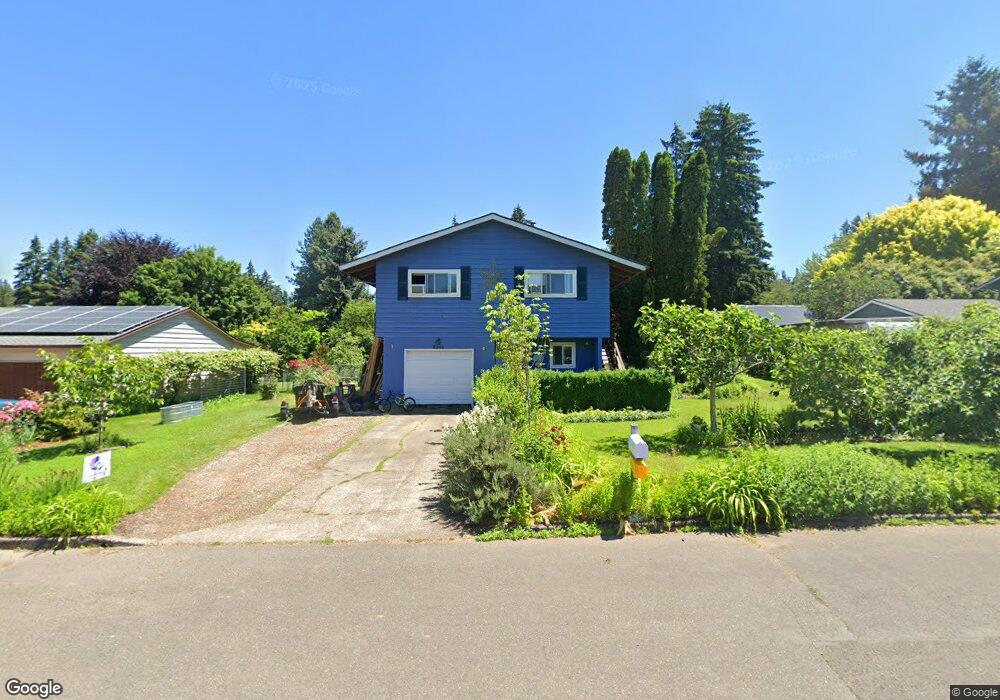
2245 Michael Dr West Linn, OR 97068
Willamette NeighborhoodEstimated Value: $568,000 - $622,000
3
Beds
2
Baths
1,619
Sq Ft
$362/Sq Ft
Est. Value
About This Home
This home is located at 2245 Michael Dr, West Linn, OR 97068 and is currently estimated at $586,336, approximately $362 per square foot. 2245 Michael Dr is a home located in Clackamas County with nearby schools including Willamette Primary School, Athey Creek Middle School, and West Linn High School.
Ownership History
Date
Name
Owned For
Owner Type
Purchase Details
Closed on
Aug 19, 2015
Sold by
Ray Richard A and Ray Judith A
Bought by
Lierman Donovan and Ly Luan
Current Estimated Value
Home Financials for this Owner
Home Financials are based on the most recent Mortgage that was taken out on this home.
Original Mortgage
$289,656
Outstanding Balance
$230,786
Interest Rate
4.5%
Mortgage Type
FHA
Estimated Equity
$355,550
Purchase Details
Closed on
Feb 19, 2008
Sold by
Reynolds Shawn L and Reynolds Robert D
Bought by
Ray Richard A and Ray Judith A
Home Financials for this Owner
Home Financials are based on the most recent Mortgage that was taken out on this home.
Original Mortgage
$205,000
Interest Rate
5.85%
Mortgage Type
Purchase Money Mortgage
Purchase Details
Closed on
Oct 23, 2003
Sold by
Macmahon Ronald J and Macmahon Junanita
Bought by
Reynolds Shawn L and Reynolds Robert D
Home Financials for this Owner
Home Financials are based on the most recent Mortgage that was taken out on this home.
Original Mortgage
$187,556
Interest Rate
6.14%
Mortgage Type
FHA
Create a Home Valuation Report for This Property
The Home Valuation Report is an in-depth analysis detailing your home's value as well as a comparison with similar homes in the area
Home Values in the Area
Average Home Value in this Area
Purchase History
| Date | Buyer | Sale Price | Title Company |
|---|---|---|---|
| Lierman Donovan | $295,000 | Lawyers Title | |
| Ray Richard A | $285,000 | First American Title Insuran | |
| Reynolds Shawn L | $190,500 | Pacific Nw Title |
Source: Public Records
Mortgage History
| Date | Status | Borrower | Loan Amount |
|---|---|---|---|
| Open | Lierman Donovan | $289,656 | |
| Previous Owner | Ray Richard A | $205,000 | |
| Previous Owner | Reynolds Shawn L | $187,556 |
Source: Public Records
Tax History Compared to Growth
Tax History
| Year | Tax Paid | Tax Assessment Tax Assessment Total Assessment is a certain percentage of the fair market value that is determined by local assessors to be the total taxable value of land and additions on the property. | Land | Improvement |
|---|---|---|---|---|
| 2025 | $4,603 | $238,840 | -- | -- |
| 2024 | $4,431 | $231,884 | -- | -- |
| 2023 | $4,431 | $225,131 | $0 | $0 |
| 2022 | $4,182 | $218,574 | $0 | $0 |
| 2021 | $3,970 | $212,208 | $0 | $0 |
| 2020 | $3,997 | $206,028 | $0 | $0 |
| 2019 | $3,811 | $200,028 | $0 | $0 |
| 2018 | $3,641 | $194,202 | $0 | $0 |
| 2017 | $3,500 | $188,546 | $0 | $0 |
| 2016 | $3,409 | $183,054 | $0 | $0 |
| 2015 | $3,206 | $177,722 | $0 | $0 |
| 2014 | $3,057 | $172,546 | $0 | $0 |
Source: Public Records
Map
Nearby Homes
- 812 Wendy Ct
- 1160 Blankenship Rd
- 1075 Epperly Way
- 2250 River Heights Cir
- 1101 Ryan Ct
- 1765 Ostman Rd
- 2420 Margery St
- 1733 Jamie Cir
- 975 Springtree Ln
- 640 Springtree Ln
- 880 Springtree Ln Unit 880
- 850 Springtree Ln Unit 850
- 1694 16th St
- 1721 Dollar St Unit 1721
- 1690 16th St
- 1640 Village Park Place
- 3565 Summerlinn Dr Unit 64
- 3395 Summerlinn Dr Unit 24
- 25545 Katherine Ct
- 3850 Summerlinn Dr Unit 58
- 2229 Michael Dr
- 2265 Michael Dr
- 2250 Ostman Rd
- 2260 Ostman Rd
- 2220 Ostman Rd
- 2279 Michael Dr
- 2211 Michael Dr
- 2240 Michael Dr
- 2264 Michael Dr
- 2222 Michael Dr
- 2270 Ostman Rd
- 2190 Ostman Rd
- 0 Nda Required Rd Unit 20409284
- 2276 Michael Dr
- 2208 Michael Dr
- 2293 Michael Dr
- 2280 Ostman Rd
- 2288 Michael Dr
- 2207 Michael Dr
- 826 Alicia Ct