22455 State Highway 74 Purcell, OK 73080
Estimated Value: $341,000 - $375,357
3
Beds
2
Baths
2,797
Sq Ft
$130/Sq Ft
Est. Value
About This Home
This home is located at 22455 State Highway 74, Purcell, OK 73080 and is currently estimated at $363,339, approximately $129 per square foot. 22455 State Highway 74 is a home located in McClain County with nearby schools including Purcell Elementary School, Purcell Intermediate School, and Purcell Junior High School.
Ownership History
Date
Name
Owned For
Owner Type
Purchase Details
Closed on
Sep 3, 2024
Sold by
Williams Chere A
Bought by
Pillar Kirk and Spain Sarah
Current Estimated Value
Home Financials for this Owner
Home Financials are based on the most recent Mortgage that was taken out on this home.
Original Mortgage
$306,000
Outstanding Balance
$302,477
Interest Rate
6.78%
Mortgage Type
New Conventional
Estimated Equity
$60,862
Purchase Details
Closed on
Feb 28, 2006
Sold by
Cagley David W and Cagley Karen L
Bought by
Williams Chere A
Home Financials for this Owner
Home Financials are based on the most recent Mortgage that was taken out on this home.
Original Mortgage
$182,200
Interest Rate
6.19%
Mortgage Type
New Conventional
Purchase Details
Closed on
Dec 29, 1998
Sold by
Reynolds Zylpha Trust
Bought by
Cagley David W and Cagley Karen L
Create a Home Valuation Report for This Property
The Home Valuation Report is an in-depth analysis detailing your home's value as well as a comparison with similar homes in the area
Home Values in the Area
Average Home Value in this Area
Purchase History
| Date | Buyer | Sale Price | Title Company |
|---|---|---|---|
| Pillar Kirk | $340,000 | Titan Title | |
| Williams Chere A | $202,500 | None Available | |
| Cagley David W | $175,000 | -- |
Source: Public Records
Mortgage History
| Date | Status | Borrower | Loan Amount |
|---|---|---|---|
| Open | Pillar Kirk | $306,000 | |
| Previous Owner | Williams Chere A | $182,200 |
Source: Public Records
Tax History Compared to Growth
Tax History
| Year | Tax Paid | Tax Assessment Tax Assessment Total Assessment is a certain percentage of the fair market value that is determined by local assessors to be the total taxable value of land and additions on the property. | Land | Improvement |
|---|---|---|---|---|
| 2025 | $2,654 | $36,336 | $6,875 | $29,461 |
| 2024 | $2,654 | $25,425 | $4,232 | $21,193 |
| 2023 | $2,654 | $25,425 | $3,633 | $21,792 |
| 2022 | $2,623 | $25,426 | $5,555 | $19,871 |
| 2021 | $2,683 | $24,684 | $5,390 | $19,294 |
| 2020 | $2,657 | $24,684 | $5,390 | $19,294 |
| 2019 | $2,750 | $25,088 | $7,370 | $17,718 |
| 2018 | $2,643 | $24,325 | $6,995 | $17,330 |
| 2017 | $2,460 | $23,167 | $5,457 | $17,710 |
| 2016 | $2,371 | $22,064 | $5,197 | $16,867 |
| 2015 | $2,294 | $21,014 | $4,400 | $16,614 |
| 2014 | $2,163 | $20,013 | $4,400 | $15,613 |
Source: Public Records
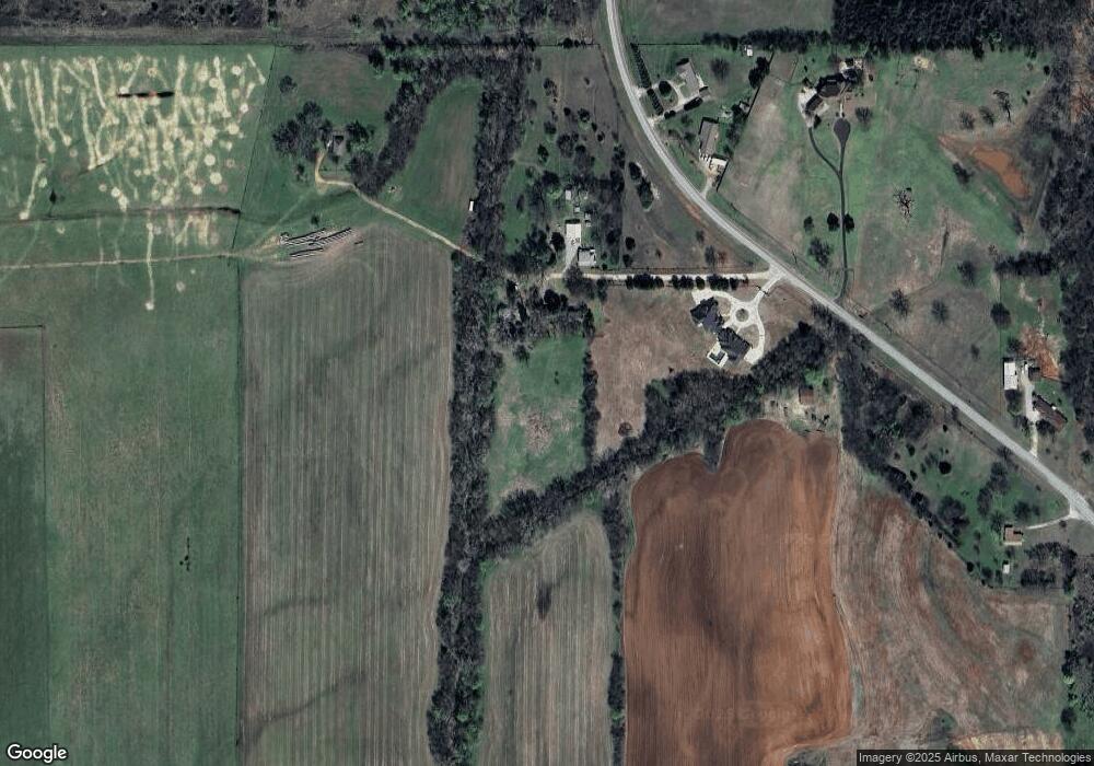
Map
Nearby Homes
- 22455 State Highway 74
- 22453 State Highway 74
- 1203 Mayes St
- 1085 Blue Ridge Dr
- 1081 Blue Ridge Dr
- 1077 Blue Ridge Dr
- 1073 Blue Ridge Dr
- 1069 Blue Ridge Dr
- 1065 Blue Ridge Dr
- 1061 Blue Ridge Dr
- 1057 Blue Ridge Dr
- 1053 Blue Ridge Dr
- 1069 N Blue Ridge Dr
- 1068 Westbrook Blvd
- 1064 Westbrook Blvd
- 1060 Westbrook Blvd
- Rc Mitchell Plan at Southbrook
- Rc Cooper Plan at Southbrook
- Rc Keswick Plan at Southbrook
- RC Ridgeland Plan at Southbrook
- 22459 State Highway 74
- 22540 State Highway 74
- 22566 State Highway 74
- 22566 Oklahoma 74
- 22432 State Highway 74
- 22672 State Highway 74
- 22289 State Highway 74
- 22722 State Highway 74
- 22722 State Highway 74
- 22742 State Highway 74
- 22542 Meadowlark Rd
- 26226 220th St
- 22562 Meadowlark Rd
- 22784 State Highway 74
- 22805 State Highway 74
- 22157 State Highway 74
- 22157 Oklahoma 74
- 26298 226th St
- 26236 220th St
- 26230 220th St