2248 215th St Muscatine, IA 52761
Estimated Value: $304,000 - $546,753
3
Beds
4
Baths
1,657
Sq Ft
$238/Sq Ft
Est. Value
About This Home
This home is located at 2248 215th St, Muscatine, IA 52761 and is currently estimated at $394,938, approximately $238 per square foot. 2248 215th St is a home located in Muscatine County with nearby schools including McKinley Elementary School, Susan Clark Junior High School, and Muscatine High School.
Ownership History
Date
Name
Owned For
Owner Type
Purchase Details
Closed on
Feb 27, 2008
Sold by
Lgeiselhart Constance
Bought by
Moeller Randy J and Moeller Michelle J
Current Estimated Value
Home Financials for this Owner
Home Financials are based on the most recent Mortgage that was taken out on this home.
Original Mortgage
$192,000
Outstanding Balance
$35,814
Interest Rate
5.51%
Mortgage Type
New Conventional
Estimated Equity
$359,124
Create a Home Valuation Report for This Property
The Home Valuation Report is an in-depth analysis detailing your home's value as well as a comparison with similar homes in the area
Home Values in the Area
Average Home Value in this Area
Purchase History
| Date | Buyer | Sale Price | Title Company |
|---|---|---|---|
| Moeller Randy J | $239,500 | None Available |
Source: Public Records
Mortgage History
| Date | Status | Borrower | Loan Amount |
|---|---|---|---|
| Open | Moeller Randy J | $192,000 |
Source: Public Records
Tax History Compared to Growth
Tax History
| Year | Tax Paid | Tax Assessment Tax Assessment Total Assessment is a certain percentage of the fair market value that is determined by local assessors to be the total taxable value of land and additions on the property. | Land | Improvement |
|---|---|---|---|---|
| 2025 | $4,524 | $492,590 | $148,630 | $343,960 |
| 2024 | $4,524 | $382,200 | $38,700 | $343,500 |
| 2023 | $4,422 | $388,405 | $41,658 | $346,747 |
| 2022 | $3,404 | $295,460 | $39,300 | $256,160 |
| 2021 | $3,404 | $256,900 | $34,300 | $222,600 |
| 2020 | $3,408 | $245,890 | $29,300 | $216,590 |
| 2019 | $3,218 | $219,550 | $0 | $0 |
| 2018 | $3,132 | $218,800 | $0 | $0 |
| 2017 | $3,260 | $219,020 | $0 | $0 |
| 2016 | $3,298 | $219,020 | $0 | $0 |
| 2015 | $3,298 | $176,460 | $0 | $0 |
| 2014 | $2,654 | $176,460 | $0 | $0 |
Source: Public Records
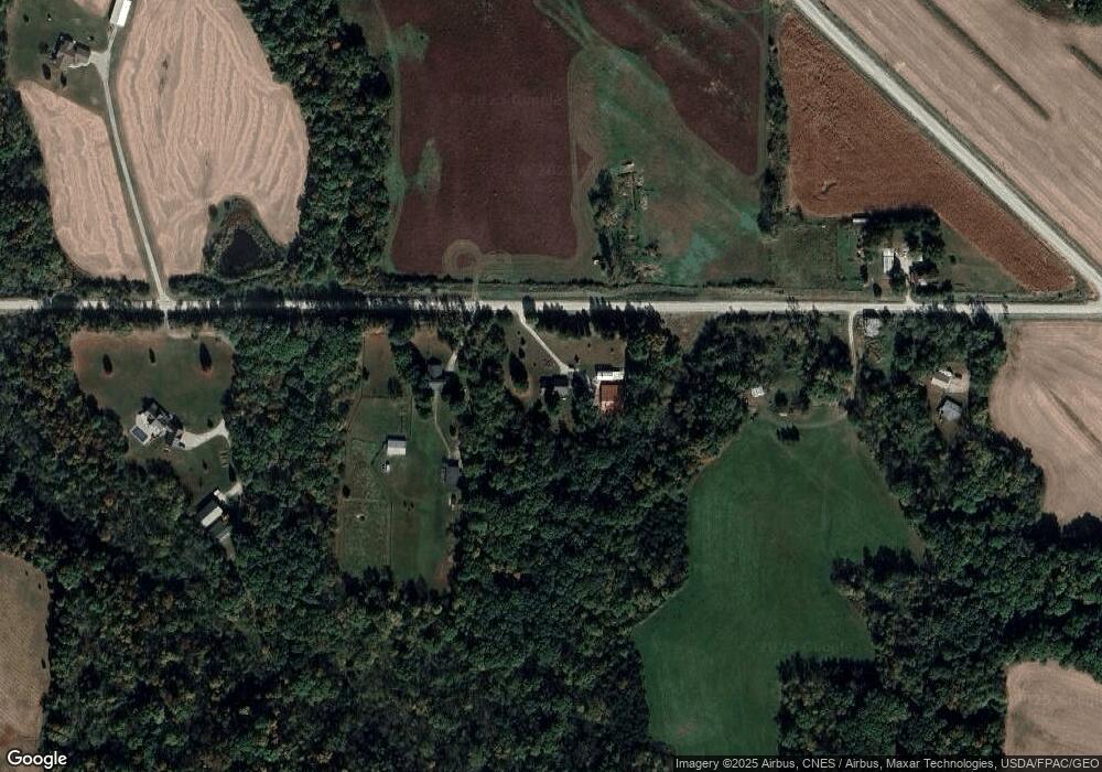
Map
Nearby Homes
- 2207 231st St
- 3120 Linden Ln
- 3103 Ginkgo Ln
- 1507 Duncan Dr
- 1410 Duncan Dr
- 1416 Duncan Dr
- 1604 Duncan Dr
- LOT 4 Fridley Subdivision
- 3010 W Fulliam Ave
- CEDAR Plaza Parcel
- 2018 W Bay Dr
- LOT 6 Fridley Subdivision
- 2108 Clarabek St
- 2106 Clarabek St
- 1617 W Acre Dr
- 2461 Bobwhite Dr
- 208 Fletcher Ave
- 2210 Imperial Oaks Dr
- 1619 Devitt Ave
- 2232 215th St
- 2266 215th St
- 2259 215th St
- 2220 215th St
- 2132 Seven Springs Rd
- 2219 215th St
- 2210 215th St
- 2151 Seven Springs Rd
- 2122 Seven Springs Rd
- 2194 N Hill Rd
- 2196 N Hill Rd
- 2195 N Hill Rd
- 2260 W Hill Rd
- 2165 Seven Springs Rd
- 2107 Seven Springs Rd
- 2175 Kincaid Ave
- 2262 W Hill Rd
- 2103 Seven Springs Rd
- 2199 N Hill Rd
- 2165 Kincaid Ave