2248 Poor Farm Rd Murray, KY 42071
Estimated Value: $253,803 - $378,000
3
Beds
2
Baths
1,920
Sq Ft
$160/Sq Ft
Est. Value
About This Home
This home is located at 2248 Poor Farm Rd, Murray, KY 42071 and is currently estimated at $306,951, approximately $159 per square foot. 2248 Poor Farm Rd is a home located in Calloway County with nearby schools including North Calloway Elementary School, Calloway County Middle School, and Calloway County High School.
Ownership History
Date
Name
Owned For
Owner Type
Purchase Details
Closed on
Mar 6, 2013
Sold by
Brunn James Christopher and Brunn James C
Bought by
Bedwell Tracy and Brunn James C
Current Estimated Value
Home Financials for this Owner
Home Financials are based on the most recent Mortgage that was taken out on this home.
Original Mortgage
$84,000
Outstanding Balance
$58,980
Interest Rate
3.43%
Mortgage Type
New Conventional
Estimated Equity
$247,971
Purchase Details
Closed on
Oct 1, 2009
Sold by
Brunn Kimbelry Ann
Bought by
Brunn James Christopher
Create a Home Valuation Report for This Property
The Home Valuation Report is an in-depth analysis detailing your home's value as well as a comparison with similar homes in the area
Purchase History
| Date | Buyer | Sale Price | Title Company |
|---|---|---|---|
| Bedwell Tracy | -- | None Available | |
| Brunn James Christopher | -- | None Available |
Source: Public Records
Mortgage History
| Date | Status | Borrower | Loan Amount |
|---|---|---|---|
| Open | Bedwell Tracy | $84,000 |
Source: Public Records
Tax History
| Year | Tax Paid | Tax Assessment Tax Assessment Total Assessment is a certain percentage of the fair market value that is determined by local assessors to be the total taxable value of land and additions on the property. | Land | Improvement |
|---|---|---|---|---|
| 2025 | $1,353 | $150,000 | $0 | $0 |
| 2024 | $1,336 | $150,000 | $0 | $0 |
| 2023 | $1,375 | $150,000 | $0 | $0 |
| 2022 | $1,403 | $150,000 | $0 | $0 |
| 2021 | $1,430 | $150,000 | $0 | $0 |
| 2020 | $1,408 | $150,000 | $0 | $0 |
| 2019 | $1,375 | $150,000 | $0 | $0 |
| 2018 | $1,332 | $150,000 | $0 | $0 |
| 2017 | $1,295 | $150,000 | $0 | $0 |
| 2016 | $1,281 | $150,000 | $0 | $0 |
| 2015 | $1,258 | $150,000 | $0 | $0 |
| 2011 | $1,258 | $160,000 | $0 | $0 |
Source: Public Records
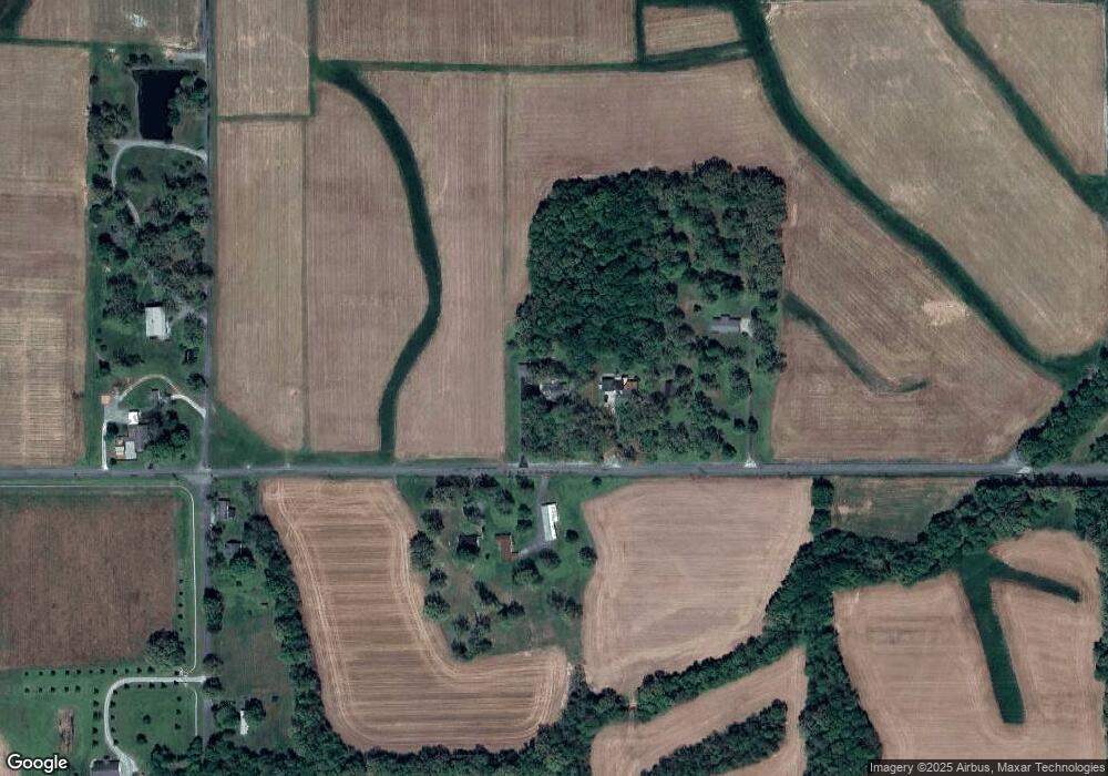
Map
Nearby Homes
- 363 Grant Rd
- 0 Brinn Rd
- 1307 Robertson Rd N
- 00 N 16th St
- 74 Astoria Ct
- 1 Logan Trail
- 1105 State Route 121 N Unit 1163 State Route 121
- 1404 Diuguid Dr Unit 1406 and 1510-1540 D
- 893 Peach Orchard Rd
- Lot 17 Jordyn Bailey Rd
- 307 Oakdale Dr
- 000 Southwood Dr
- 000 Keepers Way Unit Tract A
- 000 Keepers Way
- 1005 Southwood Dr
- 1201 Chestnut St
- 0 City Dr W
- 0 U S 641 N
- 0 Roberson Rd
- 0 Kingdom Ct
- 2208 Poor Farm Rd
- 2297 Poor Farm Rd
- 2156 Poor Farm Rd
- 2396 Poor Farm Rd
- 1657 Graham Rd
- 1620 Graham Rd
- 1600 Graham Rd
- 1504 Graham Rd
- 1811 Graham Rd
- 1401 Graham Rd
- 000 Hale Rd
- 1865 Poor Farm Rd
- 266 Hale Rd
- 30 Amandine Ln
- 1243 Graham Rd
- 18 Amandine Ln
- 18 Amandine Ln
- 1427 Poor Farm Rd
- 1143 Graham Rd
- 1880 Bailey Rd