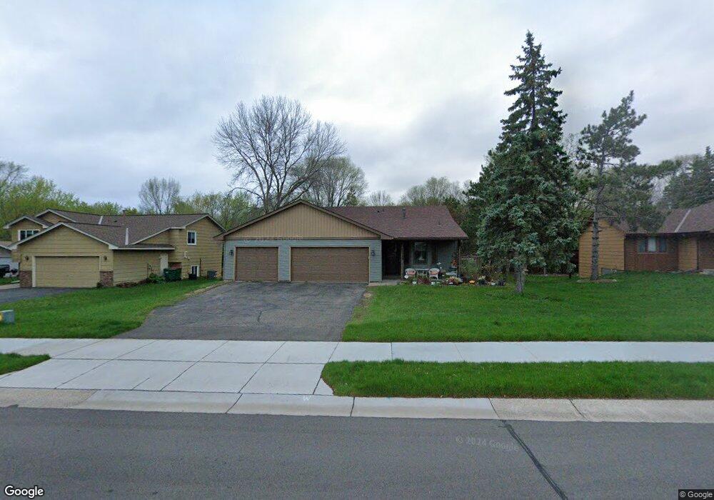
2249 131st Ave NW Coon Rapids, MN 55448
Estimated Value: $378,000 - $398,000
3
Beds
2
Baths
1,064
Sq Ft
$364/Sq Ft
Est. Value
About This Home
This home is located at 2249 131st Ave NW, Coon Rapids, MN 55448 and is currently estimated at $387,717, approximately $364 per square foot. 2249 131st Ave NW is a home located in Anoka County with nearby schools including Lucile Bruner Elementary School, Morris Bye Elementary School, and Laughlin Junior/Senior High School.
Ownership History
Date
Name
Owned For
Owner Type
Purchase Details
Closed on
Jul 23, 1999
Sold by
Slininger Maxine and Slininger Orval W
Bought by
Wichlen Jeremy J and Wichlen Pamela C M
Current Estimated Value
Create a Home Valuation Report for This Property
The Home Valuation Report is an in-depth analysis detailing your home's value as well as a comparison with similar homes in the area
Home Values in the Area
Average Home Value in this Area
Purchase History
| Date | Buyer | Sale Price | Title Company |
|---|---|---|---|
| Wichlen Jeremy J | $146,600 | -- |
Source: Public Records
Tax History Compared to Growth
Tax History
| Year | Tax Paid | Tax Assessment Tax Assessment Total Assessment is a certain percentage of the fair market value that is determined by local assessors to be the total taxable value of land and additions on the property. | Land | Improvement |
|---|---|---|---|---|
| 2025 | $3,820 | $340,200 | $99,000 | $241,200 |
| 2024 | $3,820 | $335,600 | $95,700 | $239,900 |
| 2023 | $3,162 | $324,300 | $79,200 | $245,100 |
| 2022 | $2,699 | $324,400 | $79,200 | $245,200 |
| 2021 | $2,659 | $250,600 | $61,600 | $189,000 |
| 2020 | $2,741 | $241,800 | $61,600 | $180,200 |
| 2019 | $2,606 | $238,800 | $61,600 | $177,200 |
| 2018 | $2,396 | $221,900 | $0 | $0 |
| 2017 | $2,168 | $200,100 | $0 | $0 |
| 2016 | $2,226 | $181,200 | $0 | $0 |
| 2015 | $2,172 | $181,200 | $50,000 | $131,200 |
| 2014 | -- | $151,200 | $35,400 | $115,800 |
Source: Public Records
Map
Nearby Homes
- 13416 Swallow St NW
- 13182 Zion St NW
- 12760 Raven St NW
- 13519 Partridge Cir NW
- 2740 132nd Ln NW
- 1930 127th Cir NW
- 1776 133rd Ave NW
- 2147 125th Ln NW
- 1687 131st Ln NW
- 2675 128th Ave NW
- 2270 137th Ln NW
- 2068 124th Ln NW
- 12554 Grouse St NW
- 1520 129th Ave NW
- 2201 139th Ave NW
- 1593 126th Ln NW
- 13624 Gladiola St NW
- 12365 Jay St NW
- 13680 Gladiola St NW
- 13664 Gladiola St NW
- 2259 131st Ave NW
- 2239 131st Ave NW
- 2301 131st Ave NW
- 2246 131st Ave NW
- 2254 131st Ave NW
- 2238 131st Ave NW
- 2231 131st Ave NW
- 2290 131st Ave NW
- 2232 131st Ave NW
- 2209 131st Ave NW
- 2281 130th Ln NW
- 2316 131st Ave NW
- 2265 130th Ln NW
- 2295 130th Ln NW
- 2251 130th Ln NW
- 2203 131st Ave NW
- 13070 Thrush St NW
- 2323 131st Ave NW
- 2208 131st Ave NW
- 2204 131st Ln NW