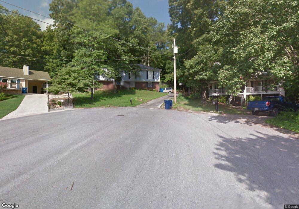
225 Dolphin Cir Alabaster, AL 35007
Estimated Value: $241,421 - $270,000
--
Bed
1
Bath
1,392
Sq Ft
$186/Sq Ft
Est. Value
About This Home
This home is located at 225 Dolphin Cir, Alabaster, AL 35007 and is currently estimated at $259,605, approximately $186 per square foot. 225 Dolphin Cir is a home located in Shelby County with nearby schools including Thompson Intermediate School, Thompson Middle School, and Thompson High School.
Ownership History
Date
Name
Owned For
Owner Type
Purchase Details
Closed on
Apr 29, 1998
Sold by
Kirkpatrick Margaret H
Bought by
Kendrick Alan G and Kendrick Daphne R
Current Estimated Value
Home Financials for this Owner
Home Financials are based on the most recent Mortgage that was taken out on this home.
Original Mortgage
$113,900
Interest Rate
7.62%
Create a Home Valuation Report for This Property
The Home Valuation Report is an in-depth analysis detailing your home's value as well as a comparison with similar homes in the area
Home Values in the Area
Average Home Value in this Area
Purchase History
| Date | Buyer | Sale Price | Title Company |
|---|---|---|---|
| Kendrick Alan G | $113,900 | Alabama Title Co Inc |
Source: Public Records
Mortgage History
| Date | Status | Borrower | Loan Amount |
|---|---|---|---|
| Closed | Kendrick Alan G | $113,900 |
Source: Public Records
Tax History Compared to Growth
Tax History
| Year | Tax Paid | Tax Assessment Tax Assessment Total Assessment is a certain percentage of the fair market value that is determined by local assessors to be the total taxable value of land and additions on the property. | Land | Improvement |
|---|---|---|---|---|
| 2024 | $1,132 | $20,960 | $0 | $0 |
| 2023 | $1,078 | $20,720 | $0 | $0 |
| 2022 | $962 | $18,580 | $0 | $0 |
| 2021 | $827 | $16,080 | $0 | $0 |
| 2020 | $764 | $14,900 | $0 | $0 |
| 2019 | $700 | $13,720 | $0 | $0 |
| 2017 | $644 | $12,680 | $0 | $0 |
| 2015 | $620 | $12,240 | $0 | $0 |
| 2014 | $582 | $11,540 | $0 | $0 |
Source: Public Records
Map
Nearby Homes
- 113 Palm Dr
- 280 Cedar Grove Pkwy Unit 34
- 104 Camden Cir
- 217 Kensington Ln
- 521 13th St SW Unit 521
- 309 Cedar Grove Ct
- 537 Ramsgate Dr
- 545 Ramsgate Dr
- 549 Ramsgate Dr
- 233 Norwick Forest Dr
- 204 Shalimar Cir
- 1036 7th Ave SW
- 304 Mayfair Cir
- 96 Winterhaven Dr
- 217 Mayfair Park
- 921 10th St SW
- 109 Kingsley Cir
- 155 Victoria Station
- 493 Ramsgate Dr
- 412 10th St SW
- 224 Dolphin Cir
- 221 Dolphin Cir
- 220 Dolphin Cir
- 216 Dolphin Cir
- 336 Sterling Manor Cir
- 329 Sterling Manor Cir Unit 22
- 200 Winterhaven Dr
- 202 Winterhaven Dr
- 0 Thompson Rd Unit Block: 000 Section:
- 212 Dolphin Cir
- 198 Winterhaven Dr
- 104 Berryhill Dr
- 209 Dolphin Cir
- 328 Sterling Manor Cir Unit 18
- 325 Sterling Manor Cir
- 196 Winterhaven Dr
- 108 Berryhill Dr
- 205 Dolphin Cir
- 332 Sterling Manor Cir
- 208 Dolphin Cir