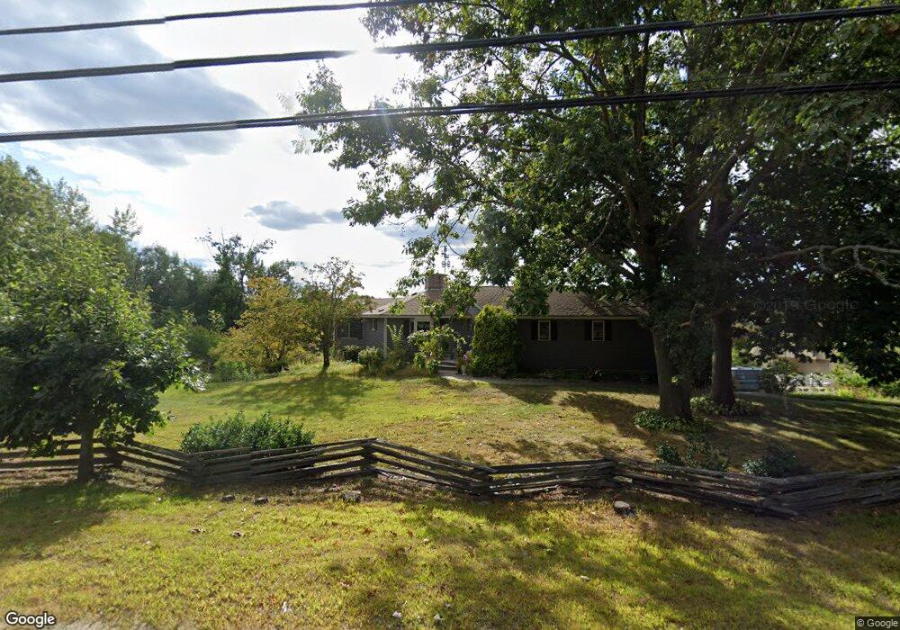
225 Dover Point Rd Dover, NH 03820
Dover Point NeighborhoodEstimated Value: $703,953 - $892,000
3
Beds
3
Baths
3,041
Sq Ft
$262/Sq Ft
Est. Value
About This Home
This home is located at 225 Dover Point Rd, Dover, NH 03820 and is currently estimated at $797,238, approximately $262 per square foot. 225 Dover Point Rd is a home located in Strafford County with nearby schools including Garrison School, Dover Middle School, and Dover Senior High School.
Ownership History
Date
Name
Owned For
Owner Type
Purchase Details
Closed on
Sep 19, 1996
Sold by
Wilson William H and Wilson Ruth B
Bought by
Chase Ward E and Chase Cynthia F
Current Estimated Value
Home Financials for this Owner
Home Financials are based on the most recent Mortgage that was taken out on this home.
Original Mortgage
$108,000
Outstanding Balance
$9,020
Interest Rate
7.89%
Estimated Equity
$788,218
Create a Home Valuation Report for This Property
The Home Valuation Report is an in-depth analysis detailing your home's value as well as a comparison with similar homes in the area
Home Values in the Area
Average Home Value in this Area
Purchase History
| Date | Buyer | Sale Price | Title Company |
|---|---|---|---|
| Chase Ward E | $135,000 | -- |
Source: Public Records
Mortgage History
| Date | Status | Borrower | Loan Amount |
|---|---|---|---|
| Open | Chase Ward E | $108,000 |
Source: Public Records
Tax History
| Year | Tax Paid | Tax Assessment Tax Assessment Total Assessment is a certain percentage of the fair market value that is determined by local assessors to be the total taxable value of land and additions on the property. | Land | Improvement |
|---|---|---|---|---|
| 2024 | $11,304 | $622,100 | $195,600 | $426,500 |
| 2023 | $9,849 | $526,700 | $172,900 | $353,800 |
| 2022 | $9,882 | $498,100 | $172,900 | $325,200 |
| 2021 | $9,398 | $433,100 | $145,600 | $287,500 |
| 2020 | $9,545 | $384,100 | $145,600 | $238,500 |
| 2019 | $9,207 | $365,500 | $131,900 | $233,600 |
| 2018 | $8,737 | $350,600 | $118,300 | $232,300 |
| 2017 | $8,421 | $325,500 | $100,100 | $225,400 |
| 2016 | $7,787 | $296,200 | $91,000 | $205,200 |
| 2015 | $7,387 | $277,600 | $77,400 | $200,200 |
| 2014 | $7,220 | $277,600 | $77,400 | $200,200 |
| 2011 | $7,046 | $280,500 | $81,600 | $198,900 |
Source: Public Records
Map
Nearby Homes
- 220 Dover Point Rd
- 11 Ayers Ln
- 25 Fosters Dr
- Slip B18 Little Bay
- 21 Clearwater Dr
- 18 Deborah Ln
- 41 Clearwater Dr
- 65 Polly Ann Trailer Park
- 69 Polly Ann Trailer Park
- 0 Cote Dr Unit 55B
- 348 Dover Point Rd
- 354 Dover Point Rd
- 30 Cedar Point Rd
- 16 Polly Ann Park
- 19 Lenox Dr Unit A
- 28 Little Bay Dr
- 6 Isaac Lucas Cir
- 33 Little Bay Dr
- 13 Little Bay Dr
- 18 Little Bay Dr
- 14 Bristol Ln
- 223 Dover Point Rd
- 8 Bristol Ln
- 227 Dover Point Rd
- 218 Dover Point Rd
- 13 Bristol Ln
- 2 New Bellamy Ln
- 4 New Bellamy Ln
- 11 Bristol Ln
- 4 Landing Way Unit 4
- 4 Landing Way Unit 3
- 6 New Bellamy Ln
- 2 Landing Way
- 2 Landing Way Unit 2
- 4 Landing Way
- 3 Landing Way
- 214 Dover Point Rd
- 5 New Bellamy Ln
- 8 New Bellamy Ln
- 1 Riverside Dr
Your Personal Tour Guide
Ask me questions while you tour the home.