225 Industrial Rd Fitchburg, MA 01420
Estimated Value: $2,413,598
--
Bed
1
Bath
60,000
Sq Ft
$40/Sq Ft
Est. Value
About This Home
This home is located at 225 Industrial Rd, Fitchburg, MA 01420 and is currently estimated at $2,413,598, approximately $40 per square foot. 225 Industrial Rd is a home located in Worcester County with nearby schools including Reingold Elementary School, South Street Elementary School, and Crocker Elementary School.
Ownership History
Date
Name
Owned For
Owner Type
Purchase Details
Closed on
Jan 30, 2015
Sold by
B & J Rt
Bought by
225 Industrial Road Llc
Current Estimated Value
Home Financials for this Owner
Home Financials are based on the most recent Mortgage that was taken out on this home.
Original Mortgage
$960,000
Outstanding Balance
$736,643
Interest Rate
3.81%
Mortgage Type
Commercial
Estimated Equity
$1,676,955
Purchase Details
Closed on
May 13, 2014
Sold by
Far Mor Rt and Kapstad Ann
Bought by
B&J Rt and Kapstad Bjorn
Create a Home Valuation Report for This Property
The Home Valuation Report is an in-depth analysis detailing your home's value as well as a comparison with similar homes in the area
Home Values in the Area
Average Home Value in this Area
Purchase History
| Date | Buyer | Sale Price | Title Company |
|---|---|---|---|
| 225 Industrial Road Llc | $1,200,000 | -- | |
| B&J Rt | -- | -- |
Source: Public Records
Mortgage History
| Date | Status | Borrower | Loan Amount |
|---|---|---|---|
| Open | 225 Industrial Road Llc | $960,000 |
Source: Public Records
Tax History Compared to Growth
Tax History
| Year | Tax Paid | Tax Assessment Tax Assessment Total Assessment is a certain percentage of the fair market value that is determined by local assessors to be the total taxable value of land and additions on the property. | Land | Improvement |
|---|---|---|---|---|
| 2025 | $372 | $2,755,200 | $517,500 | $2,237,700 |
| 2024 | $36,216 | $2,445,400 | $454,400 | $1,991,000 |
| 2023 | $37,423 | $2,336,000 | $415,400 | $1,920,600 |
| 2022 | $37,247 | $2,115,100 | $363,500 | $1,751,600 |
| 2021 | $35,150 | $1,847,100 | $347,300 | $1,499,800 |
| 2020 | $36,643 | $1,859,100 | $337,200 | $1,521,900 |
| 2019 | $35,927 | $1,626,400 | $337,200 | $1,289,200 |
| 2018 | $38,085 | $1,562,800 | $324,500 | $1,238,300 |
| 2017 | $38,071 | $1,455,300 | $324,500 | $1,130,800 |
| 2016 | $39,277 | $1,485,500 | $324,500 | $1,161,000 |
| 2015 | $39,143 | $1,485,500 | $324,500 | $1,161,000 |
| 2014 | $34,213 | $1,299,900 | $324,500 | $975,400 |
Source: Public Records
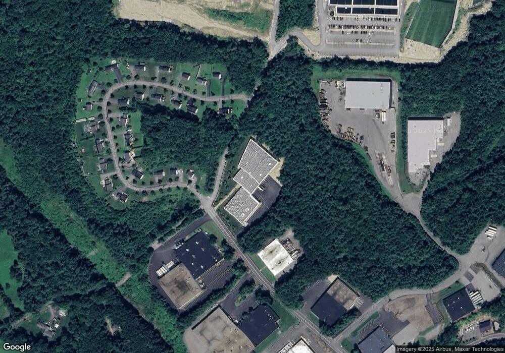
Map
Nearby Homes
- 1317 Westminster St
- 139 Parson Cir
- 15 Cascade St
- 87 Roosevelt St
- 204 Roosevelt St
- 26 Bathrick Rd
- 7 Green Briar Rd Unit 7
- 34 Oak Leaf Rd
- 17 Simonds Rd
- 19 Ashburnham St
- 16 Old Mill Cir
- 45 Norwood St
- 14 Felton St
- 87 Eaton St
- 592 Westminster Hill Rd
- 22 Heritage Ln
- 35 Bernadette St
- 57 Highview St
- 55 Newcomb Rd
- 47 Newcomb Rd
- 12 Victoria Ln
- 176 Victoria Ln
- 176 Victoria Ln Unit 1
- 20 Victoria Ln
- 25 Victoria Ln
- 162 Victoria Ln
- 30 Victoria Ln
- 150 Victoria Ln
- 177 Victoria Ln
- 161 Victoria Ln
- 48 Victoria Ln
- 66 Victoria Ln
- 66 Victoria Ln Unit 1
- 151 Victoria Ln
- 151 Victoria Ln Unit 1
- 76 Victoria Ln
- 76 Victoria Ln
- 76 Victoria Ln Unit 1
- 47 Victoria Ln
- 126 Victoria Ln