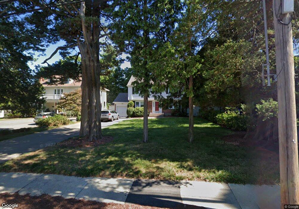
225 Lagrange St West Roxbury, MA 02132
Bellevue Hill NeighborhoodEstimated Value: $923,000 - $1,251,000
4
Beds
2
Baths
1,666
Sq Ft
$641/Sq Ft
Est. Value
About This Home
This home is located at 225 Lagrange St, West Roxbury, MA 02132 and is currently estimated at $1,067,509, approximately $640 per square foot. 225 Lagrange St is a home located in Suffolk County with nearby schools including St Theresa School, Holy Name Parish School, and The Roxbury Latin School.
Ownership History
Date
Name
Owned For
Owner Type
Purchase Details
Closed on
Apr 6, 2022
Sold by
Canon John F and Callahan Carol L
Bought by
John F Canon Lt
Current Estimated Value
Purchase Details
Closed on
Jul 25, 1994
Sold by
Canon Mary J
Bought by
Canon John F and Callahan Carol L
Create a Home Valuation Report for This Property
The Home Valuation Report is an in-depth analysis detailing your home's value as well as a comparison with similar homes in the area
Home Values in the Area
Average Home Value in this Area
Purchase History
| Date | Buyer | Sale Price | Title Company |
|---|---|---|---|
| John F Canon Lt | -- | None Available | |
| Canon John F | $198,000 | -- |
Source: Public Records
Mortgage History
| Date | Status | Borrower | Loan Amount |
|---|---|---|---|
| Previous Owner | Canon John F | $100,000 | |
| Previous Owner | Canon John F | $236,900 | |
| Previous Owner | Canon John F | $100,000 |
Source: Public Records
Tax History Compared to Growth
Tax History
| Year | Tax Paid | Tax Assessment Tax Assessment Total Assessment is a certain percentage of the fair market value that is determined by local assessors to be the total taxable value of land and additions on the property. | Land | Improvement |
|---|---|---|---|---|
| 2025 | $10,535 | $909,800 | $360,100 | $549,700 |
| 2024 | $9,587 | $879,500 | $376,400 | $503,100 |
| 2023 | $8,911 | $829,700 | $355,100 | $474,600 |
| 2022 | $8,207 | $754,300 | $322,800 | $431,500 |
| 2021 | $7,639 | $715,900 | $313,400 | $402,500 |
| 2020 | $6,962 | $659,300 | $291,000 | $368,300 |
| 2019 | $6,493 | $616,000 | $244,400 | $371,600 |
| 2018 | $6,147 | $586,500 | $244,400 | $342,100 |
| 2017 | $6,146 | $580,400 | $244,400 | $336,000 |
| 2016 | $6,024 | $547,600 | $244,400 | $303,200 |
| 2015 | $5,936 | $490,200 | $199,000 | $291,200 |
| 2014 | $5,758 | $457,700 | $199,000 | $258,700 |
Source: Public Records
Map
Nearby Homes
- 145 Lagrange St
- 275 Bellevue St
- 73 Woodard Rd
- 12 Loyola Cir
- 348 Lagrange St
- 54 Sturges Rd
- 12 Eagle St
- 152 Stratford St
- 425 Lagrange St Unit 203
- 50 Heron St
- 27-29 Temple St
- 35 Heron St
- 2231 Centre St
- 14 Starling St
- 2 Lagrange St Unit 4
- 4873 Washington St Unit 1
- 10 Starling St
- 12 Bronx Rd
- 110 Park St Unit 3
- 4959 Washington St
- 221 Lagrange St
- 232 Lagrange St
- 215 Lagrange St
- 238 Lagrange St
- 54 Howitt Rd
- 50 Howitt Rd
- 46 Howitt Rd
- 4 John Alden Rd
- 207 Lagrange St
- 246 Lagrange St
- 40 Howitt Rd
- 242 Lagrange St
- 3 John Alden Rd
- 3 Myles Standish Rd
- 203 Lagrange St
- 222 Lagrange St
- 8 John Alden Rd
- 36 Howitt Rd
- 237 Lagrange St
- 7 John Alden Rd