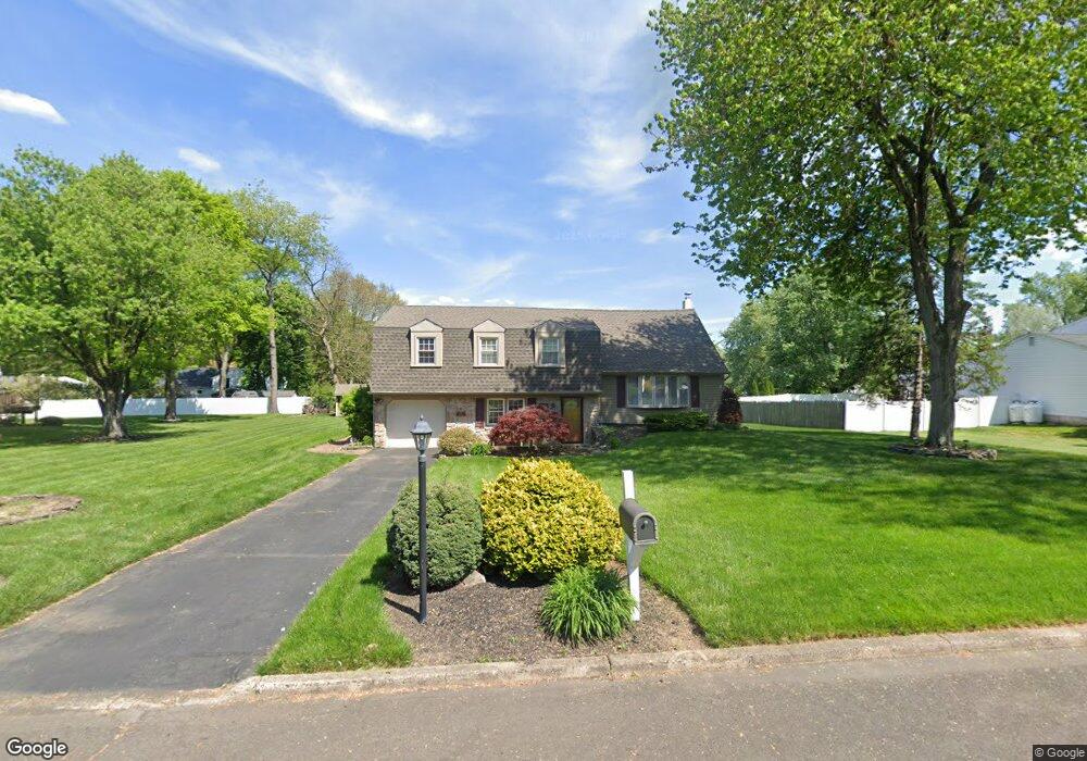
225 Mallard Rd Southampton, PA 18966
Estimated Value: $453,679 - $599,000
--
Bed
2
Baths
1,412
Sq Ft
$376/Sq Ft
Est. Value
About This Home
This home is located at 225 Mallard Rd, Southampton, PA 18966 and is currently estimated at $531,170, approximately $376 per square foot. 225 Mallard Rd is a home located in Bucks County with nearby schools including Holland Elementary School, Holland Middle School, and Council Rock High School - South.
Ownership History
Date
Name
Owned For
Owner Type
Purchase Details
Closed on
Sep 11, 1990
Sold by
Aulisa
Bought by
Waldron Timothy C and Waldron Ellen
Current Estimated Value
Purchase Details
Closed on
Jan 28, 1987
Bought by
Aulisa
Create a Home Valuation Report for This Property
The Home Valuation Report is an in-depth analysis detailing your home's value as well as a comparison with similar homes in the area
Home Values in the Area
Average Home Value in this Area
Purchase History
| Date | Buyer | Sale Price | Title Company |
|---|---|---|---|
| Waldron Timothy C | $190,000 | -- | |
| Aulisa | -- | -- |
Source: Public Records
Tax History Compared to Growth
Tax History
| Year | Tax Paid | Tax Assessment Tax Assessment Total Assessment is a certain percentage of the fair market value that is determined by local assessors to be the total taxable value of land and additions on the property. | Land | Improvement |
|---|---|---|---|---|
| 2025 | $5,624 | $29,200 | $7,120 | $22,080 |
| 2024 | $5,624 | $29,200 | $7,120 | $22,080 |
| 2023 | $5,301 | $29,200 | $7,120 | $22,080 |
| 2022 | $5,252 | $29,200 | $7,120 | $22,080 |
| 2021 | $5,086 | $29,200 | $7,120 | $22,080 |
| 2020 | $4,972 | $29,200 | $7,120 | $22,080 |
| 2019 | $4,759 | $29,200 | $7,120 | $22,080 |
| 2018 | $4,674 | $29,200 | $7,120 | $22,080 |
| 2017 | $4,494 | $29,200 | $7,120 | $22,080 |
| 2016 | $4,494 | $29,200 | $7,120 | $22,080 |
| 2015 | -- | $29,200 | $7,120 | $22,080 |
| 2014 | -- | $29,200 | $7,120 | $22,080 |
Source: Public Records
Map
Nearby Homes
- 258 Woodlake Dr
- 6 Rolling Hills Dr
- 270 Rocksville Rd
- 65 Witherington Dr
- 29 Langhorne Ave
- 537 Ashton Cir
- 6 Windy Knoll Dr
- 27 Rocking Horse Way
- 18 Prince Cir
- 98 Twigkenham Dr
- 7 Bennett Place
- 1 Falcon Dr Unit 203
- 518 Pebble Ridge Ct
- 21019 Bennett Place Unit 7
- 415 Fox Hollow Dr
- 2 Falcon Dr Unit 202
- 428 Fox Hollow Dr
- 147 Watergate Dr
- 125 Fox Hollow Dr
- 52 Dalton Way