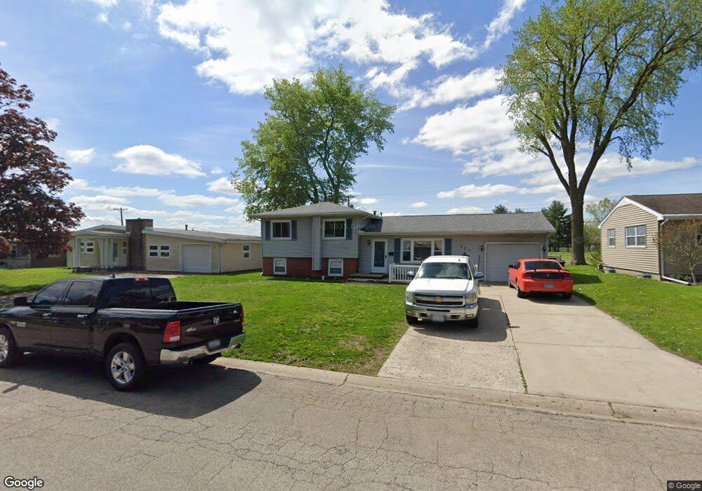
225 Mayfair Dr Lincoln, IL 62656
Estimated Value: $157,680 - $176,000
3
Beds
--
Bath
1,010
Sq Ft
$168/Sq Ft
Est. Value
About This Home
This home is located at 225 Mayfair Dr, Lincoln, IL 62656 and is currently estimated at $169,920, approximately $168 per square foot. 225 Mayfair Dr is a home located in Logan County with nearby schools including Washington-Monroe Elementary School, Adams Elementary School, and Lincoln Junior High School.
Ownership History
Date
Name
Owned For
Owner Type
Purchase Details
Closed on
Apr 2, 2012
Sold by
Huskins Benny L and Huskins Chad David
Bought by
Huskins Chad D and Huskins Tammy S
Current Estimated Value
Home Financials for this Owner
Home Financials are based on the most recent Mortgage that was taken out on this home.
Original Mortgage
$109,693
Outstanding Balance
$75,802
Interest Rate
3.92%
Mortgage Type
Stand Alone First
Estimated Equity
$94,118
Create a Home Valuation Report for This Property
The Home Valuation Report is an in-depth analysis detailing your home's value as well as a comparison with similar homes in the area
Home Values in the Area
Average Home Value in this Area
Purchase History
| Date | Buyer | Sale Price | Title Company |
|---|---|---|---|
| Huskins Chad D | $107,500 | -- |
Source: Public Records
Mortgage History
| Date | Status | Borrower | Loan Amount |
|---|---|---|---|
| Open | Huskins Chad D | $109,693 |
Source: Public Records
Tax History
| Year | Tax Paid | Tax Assessment Tax Assessment Total Assessment is a certain percentage of the fair market value that is determined by local assessors to be the total taxable value of land and additions on the property. | Land | Improvement |
|---|---|---|---|---|
| 2024 | $3,784 | $47,280 | $8,720 | $38,560 |
| 2023 | $3,572 | $43,770 | $8,070 | $35,700 |
| 2022 | $3,444 | $40,900 | $7,540 | $33,360 |
| 2021 | $3,294 | $39,270 | $7,240 | $32,030 |
| 2020 | $3,243 | $38,690 | $7,130 | $31,560 |
| 2019 | $3,163 | $37,930 | $6,990 | $30,940 |
| 2018 | $3,126 | $37,180 | $6,850 | $30,330 |
| 2017 | $3,108 | $37,180 | $6,850 | $30,330 |
| 2016 | $3,027 | $37,140 | $6,840 | $30,300 |
| 2015 | $3,218 | $39,120 | $6,670 | $32,450 |
| 2014 | $3,218 | $39,120 | $6,670 | $32,450 |
| 2013 | $3,218 | $37,130 | $6,330 | $30,800 |
| 2012 | $3,218 | $37,800 | $6,440 | $31,360 |
Source: Public Records
Map
Nearby Homes
- 180 Regent St
- 130 Half Moon St
- 1208 N Kankakee St
- 1431 N Ottawa St
- 1109 N Logan St
- 1708 Rutledge Dr
- 2294 Railsplitter Ave
- 906 Peoria St
- 2344 Railsplitter Ave
- 620 Tremont St
- 1214 Pekin St
- 113 N Kickapoo St
- 310 Pekin St
- 703 N Union St
- 417 N Union St
- 435 N Union St
- 1412 N Union St
- 123 20th St
- 1311 Broadway St
- 211 S Hamilton St
- 215 Mayfair Dr
- 235 Mayfair Dr
- 245 Mayfair Dr
- 205 Mayfair Dr
- 220 Mayfair Dr
- 210 Mayfair Dr
- 230 Mayfair Dr
- 195 Mayfair Dr
- 255 Mayfair Dr
- 200 Mayfair Dr
- 240 Mayfair Dr
- 180 Mayfair Dr
- 250 Mayfair Dr
- 185 Mayfair Dr
- 265 Mayfair Dr
- 155 Southgate St
- 140 Mayfair Dr
- 175 Mayfair Dr
- 260 Mayfair Dr
- 135 Southgate St
Your Personal Tour Guide
Ask me questions while you tour the home.