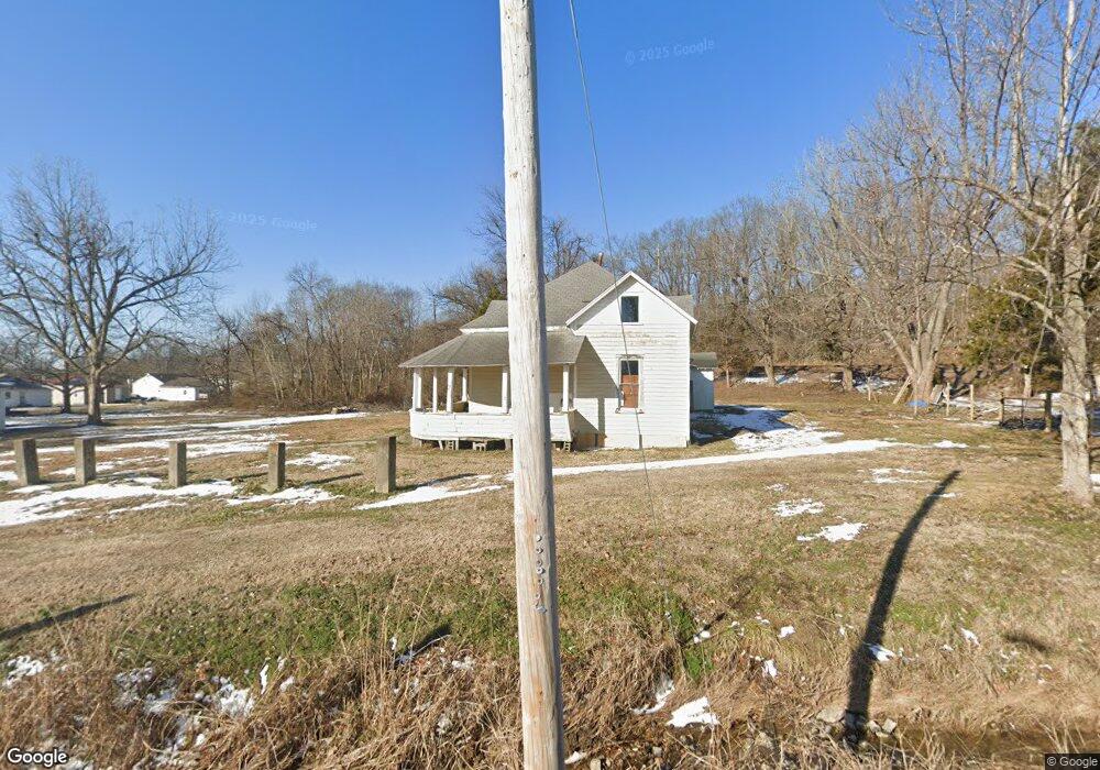
225 N 1st St Dexter, MO 63841
Estimated Value: $92,870 - $150,000
3
Beds
1
Bath
1,800
Sq Ft
$69/Sq Ft
Est. Value
About This Home
This home is located at 225 N 1st St, Dexter, MO 63841 and is currently estimated at $123,968, approximately $68 per square foot. 225 N 1st St is a home located in Stoddard County with nearby schools including Southwest Elementary School, Central Elementary School, and T.S. Hill Middle School.
Ownership History
Date
Name
Owned For
Owner Type
Purchase Details
Closed on
Jul 7, 2023
Sold by
Malloy Michelle L
Bought by
Hovis Donnie R
Current Estimated Value
Home Financials for this Owner
Home Financials are based on the most recent Mortgage that was taken out on this home.
Original Mortgage
$234,565
Outstanding Balance
$141,592
Interest Rate
6.09%
Mortgage Type
Construction
Estimated Equity
-$17,624
Purchase Details
Closed on
May 12, 2018
Sold by
Bank Of America
Bought by
Harlan Michael M
Create a Home Valuation Report for This Property
The Home Valuation Report is an in-depth analysis detailing your home's value as well as a comparison with similar homes in the area
Home Values in the Area
Average Home Value in this Area
Purchase History
| Date | Buyer | Sale Price | Title Company |
|---|---|---|---|
| Hovis Donnie R | $293,206 | National Title & Escrow Inc | |
| Harlan Michael M | -- | Servicelink |
Source: Public Records
Mortgage History
| Date | Status | Borrower | Loan Amount |
|---|---|---|---|
| Open | Hovis Donnie R | $234,565 |
Source: Public Records
Tax History Compared to Growth
Tax History
| Year | Tax Paid | Tax Assessment Tax Assessment Total Assessment is a certain percentage of the fair market value that is determined by local assessors to be the total taxable value of land and additions on the property. | Land | Improvement |
|---|---|---|---|---|
| 2025 | $255 | $5,795 | $0 | $0 |
| 2024 | $255 | $5,510 | $0 | $0 |
| 2023 | $255 | $5,510 | $0 | $0 |
| 2022 | $291 | $6,308 | $0 | $0 |
| 2021 | $301 | $6,517 | $0 | $0 |
| 2020 | $299 | $7,372 | $0 | $0 |
| 2019 | $318 | $6,859 | $0 | $0 |
| 2018 | $339 | $7,372 | $0 | $0 |
| 2016 | $329 | $7,372 | $0 | $0 |
| 2015 | -- | $7,372 | $0 | $0 |
| 2014 | -- | $7,486 | $0 | $0 |
| 2013 | -- | $0 | $0 | $0 |
Source: Public Records
Map
Nearby Homes
- 1205 Ray St
- 1309 Ray St
- 121 S Poplar St
- 324 Vine St
- 0 N Hickory St Unit MIS25080979
- 112 Mccormick St
- 807 N Poplar St
- 902 N Poplar St
- 910 Carney St
- 322 S Locust St
- 9 W Truitt St
- 4 Mcnair St
- 125 W Saint Francis St
- 18328 Lake Circle Dr
- 213 S Sassafras
- 6 W Taylor St
- 501 N Catalpa St
- 106 W Grant St
- 339 W Castor St
- 804 N Catalpa St
- 211 N 1st St
- 220 N 1st St
- 901 Ray St
- 805 E North Main St Unit 809
- 811 E North Main St
- 815 E North Main St
- 206 N 1st St
- 809 E North Main St
- 801 E North Main St
- 725 E North Main St
- 202 N 1st St
- 723 E North Main St
- 723 E North Main St
- 818 E North Main St
- 717 E North Main St
- 824 E North Main St
- 128 N 1st St
- 812 E North Main St
- 724 E North Main St
- 120 N 1st St