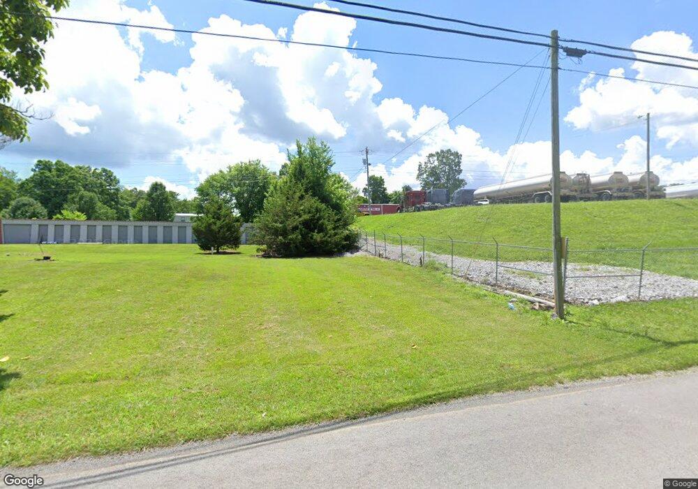
225 Old Highway 33 New Tazewell, TN 37825
--
Bed
1
Bath
3,656
Sq Ft
14
Acres
About This Home
This home is located at 225 Old Highway 33, New Tazewell, TN 37825. 225 Old Highway 33 is a home located in Claiborne County.
Ownership History
Date
Name
Owned For
Owner Type
Purchase Details
Closed on
Mar 2, 2021
Sold by
Rosson Marvin and Rosson Judy
Bought by
Rosson Marvin Lynn and Rosson Judy Lynn
Purchase Details
Closed on
Mar 20, 2014
Sold by
Imperial Transport Of Tenn
Bought by
Rosson Marvin and Rosson Judy
Purchase Details
Closed on
Oct 19, 2011
Sold by
Poore Dane
Bought by
Imperial Transport Of Tennesse
Purchase Details
Closed on
Dec 29, 1997
Bought by
Poore Dane and Poore Carol
Purchase Details
Closed on
Jun 7, 1997
Bought by
Sweet Fred and Sweet Carolyn
Purchase Details
Closed on
Oct 15, 1987
Bought by
Cline Royal Aimee Cline Moyers and Cline Ch
Purchase Details
Closed on
Jan 1, 1977
Bought by
Cline Royal Aimee Cline Moyers and Cline Ch
Create a Home Valuation Report for This Property
The Home Valuation Report is an in-depth analysis detailing your home's value as well as a comparison with similar homes in the area
Home Values in the Area
Average Home Value in this Area
Purchase History
| Date | Buyer | Sale Price | Title Company |
|---|---|---|---|
| Rosson Marvin Lynn | -- | None Available | |
| Rosson Marvin | $280,728 | -- | |
| Imperial Transport Of Tennesse | $185,000 | -- | |
| Poore Dane | $12,500 | -- | |
| Sweet Fred | $13,500 | -- | |
| Cline Royal Aimee Cline Moyers | -- | -- | |
| Cline Royal Aimee Cline Moyers | -- | -- |
Source: Public Records
Tax History Compared to Growth
Tax History
| Year | Tax Paid | Tax Assessment Tax Assessment Total Assessment is a certain percentage of the fair market value that is determined by local assessors to be the total taxable value of land and additions on the property. | Land | Improvement |
|---|---|---|---|---|
| 2024 | $1,109 | $47,400 | $6,680 | $40,720 |
| 2023 | $1,109 | $47,400 | $6,680 | $40,720 |
| 2022 | $948 | $47,400 | $6,680 | $40,720 |
| 2021 | $1,198 | $46,480 | $6,480 | $40,000 |
| 2020 | $1,198 | $46,480 | $6,480 | $40,000 |
| 2019 | $1,198 | $46,480 | $6,480 | $40,000 |
| 2018 | $1,198 | $46,480 | $6,480 | $40,000 |
| 2017 | $1,198 | $46,480 | $6,480 | $40,000 |
| 2016 | $1,343 | $52,040 | $6,480 | $45,560 |
| 2015 | $1,291 | $52,040 | $6,480 | $45,560 |
| 2014 | $1,291 | $42,896 | $0 | $0 |
Source: Public Records
Map
Nearby Homes
- 106 Walnut St
- 207 Nunn St
- 402 S Broad St ( 53 Acre)
- Lot 2 Smokey Quartz Blvd
- 130 Main St
- 510 S Broad St (Commercial 3 9 Acre)
- 510 S Broad St
- 604 Lawrence St
- Lot 492 Citron
- 202 N Broad St
- 409 N Broad St
- 502 Main St
- 402 Church St
- 153 Creed Way
- 0 Davis Dr
- 156 El Sara Dr
- 196 Poplar Dr
- 721 Fan St
- 1315 Eugene St
- 1404 Tazewell Rd
- 225 Old Hwy 33
- 207 Old Highway 33
- 282 Hwy 33
- 0 Heritage Rd
- 111 Ball Creek Rd
- 201 Ball Creek Rd
- 107 Ball Creek Rd
- 207 Ball Creek Rd
- 103 Plantation Ln
- 208 Ball Creek Rd
- 107 Wayne St
- 106 Wayne St
- 302 Ball Creek Rd
- 302 Ball Creek Rd
- 108 Wayne St
- 402 Old Highway 33
- 211 Russell Rd S
- 110 Russell Rd S
- 110 S Russell Road Rd S
- 105 Wayne St