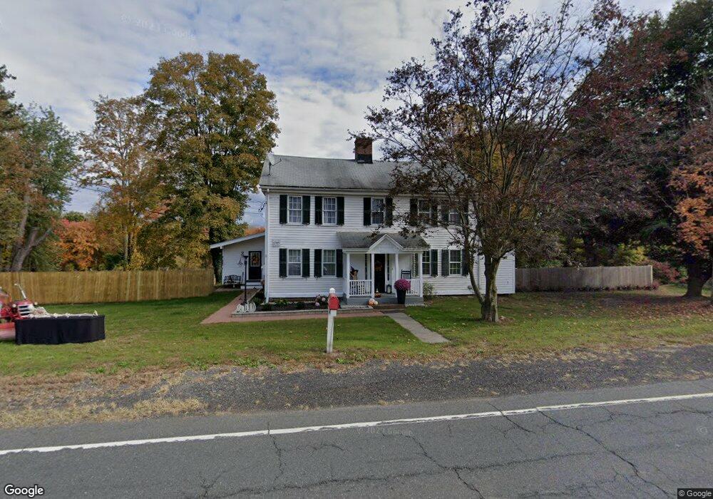
225 Pinney St Unit n/a Ellington, CT 06029
Estimated Value: $305,000 - $455,429
4
Beds
2
Baths
2,600
Sq Ft
$150/Sq Ft
Est. Value
About This Home
This home is located at 225 Pinney St Unit n/a, Ellington, CT 06029 and is currently estimated at $391,107, approximately $150 per square foot. 225 Pinney St Unit n/a is a home located in Tolland County with nearby schools including Ellington High School.
Ownership History
Date
Name
Owned For
Owner Type
Purchase Details
Closed on
Feb 13, 2020
Sold by
Mtglq Investors Lp
Bought by
Mercey William and Moreno Therese
Current Estimated Value
Home Financials for this Owner
Home Financials are based on the most recent Mortgage that was taken out on this home.
Original Mortgage
$109,250
Outstanding Balance
$96,733
Interest Rate
3.6%
Mortgage Type
Purchase Money Mortgage
Estimated Equity
$294,374
Purchase Details
Closed on
Oct 25, 2018
Sold by
Liscomb Scott A
Bought by
Mtglq Investors Lp
Purchase Details
Closed on
Apr 27, 2006
Sold by
Lawn Evan
Bought by
Heirloom Prop Llc
Home Financials for this Owner
Home Financials are based on the most recent Mortgage that was taken out on this home.
Original Mortgage
$162,000
Interest Rate
6.4%
Create a Home Valuation Report for This Property
The Home Valuation Report is an in-depth analysis detailing your home's value as well as a comparison with similar homes in the area
Home Values in the Area
Average Home Value in this Area
Purchase History
| Date | Buyer | Sale Price | Title Company |
|---|---|---|---|
| Mercey William | $115,000 | None Available | |
| Mtglq Investors Lp | -- | -- | |
| Heirloom Prop Llc | $262,000 | -- | |
| Mtglq Investors Lp | -- | -- | |
| Heirloom Prop Llc | $262,000 | -- |
Source: Public Records
Mortgage History
| Date | Status | Borrower | Loan Amount |
|---|---|---|---|
| Open | Mercey William | $109,250 | |
| Previous Owner | Heirloom Prop Llc | $238,000 | |
| Previous Owner | Heirloom Prop Llc | $162,000 |
Source: Public Records
Tax History Compared to Growth
Tax History
| Year | Tax Paid | Tax Assessment Tax Assessment Total Assessment is a certain percentage of the fair market value that is determined by local assessors to be the total taxable value of land and additions on the property. | Land | Improvement |
|---|---|---|---|---|
| 2025 | $6,911 | $186,280 | $44,320 | $141,960 |
| 2024 | $6,706 | $186,280 | $44,320 | $141,960 |
| 2023 | $6,389 | $186,280 | $44,320 | $141,960 |
| 2022 | $6,054 | $186,280 | $44,320 | $141,960 |
| 2021 | $5,886 | $186,280 | $44,320 | $141,960 |
| 2020 | $4,835 | $148,300 | $45,470 | $102,830 |
| 2019 | $6,590 | $202,160 | $45,470 | $156,690 |
| 2016 | $6,166 | $202,160 | $45,470 | $156,690 |
| 2015 | $6,634 | $217,500 | $45,470 | $172,030 |
| 2014 | $6,242 | $217,500 | $45,470 | $172,030 |
Source: Public Records
Map
Nearby Homes
- 42 Middle Rd
- 8 Sadds Mill Rd
- 89 Maple St
- 58 Maple St
- 16 Ellridge Place
- 2 Pease Farm Rd
- 7 Sunset Rd
- 43 Highland Ave
- 1 Maple St Unit 21
- 222 Mountain Rd
- 45 Windermere Village Rd Unit 45
- 3 Standish Rd
- 14 High Ridge Rd
- 24 West Rd Unit 44
- 2 Setting Sun Trail
- 0 Abbott Rd
- 31 Gail Dr
- 14 Pinney St Unit 24
- 1 Abbott Rd Unit 85
- 1 Abbott Rd Unit 101