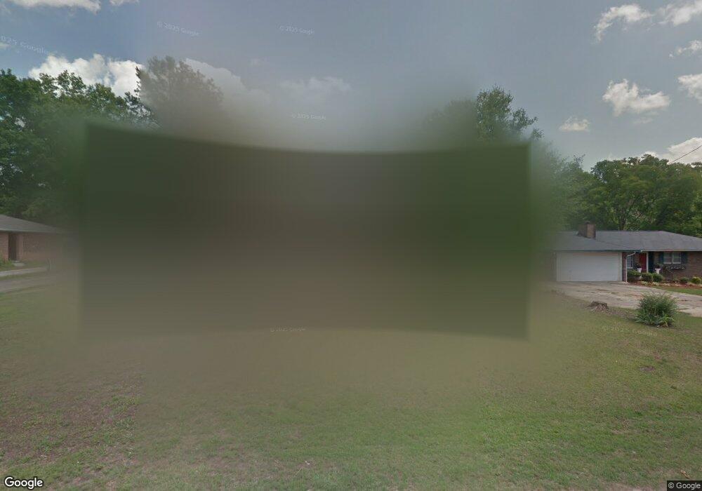
225 Polaris St Anderson, SC 29621
Estimated Value: $184,193 - $217,000
3
Beds
2
Baths
1,404
Sq Ft
$142/Sq Ft
Est. Value
About This Home
This home is located at 225 Polaris St, Anderson, SC 29621 and is currently estimated at $199,298, approximately $141 per square foot. 225 Polaris St is a home located in Anderson County with nearby schools including Nevitt Forest Elementary School, Glenview Middle School, and T.L. Hanna High School.
Ownership History
Date
Name
Owned For
Owner Type
Purchase Details
Closed on
Dec 22, 2015
Sold by
Stowers Teresa Bailey and Bailey Stowers Teresa
Bought by
Stowers Teresa Bailey
Current Estimated Value
Purchase Details
Closed on
Nov 6, 2008
Sold by
Price Celena N
Bought by
Bailey Teresa
Home Financials for this Owner
Home Financials are based on the most recent Mortgage that was taken out on this home.
Original Mortgage
$82,905
Outstanding Balance
$54,501
Interest Rate
6.11%
Mortgage Type
FHA
Estimated Equity
$144,797
Purchase Details
Closed on
Jun 10, 2003
Sold by
Spearman Shirley A
Bought by
Price Celena N
Create a Home Valuation Report for This Property
The Home Valuation Report is an in-depth analysis detailing your home's value as well as a comparison with similar homes in the area
Home Values in the Area
Average Home Value in this Area
Purchase History
| Date | Buyer | Sale Price | Title Company |
|---|---|---|---|
| Stowers Teresa Bailey | -- | None Available | |
| Bailey Teresa | $84,000 | -- | |
| Price Celena N | $41,813 | -- |
Source: Public Records
Mortgage History
| Date | Status | Borrower | Loan Amount |
|---|---|---|---|
| Open | Bailey Teresa | $82,905 |
Source: Public Records
Tax History Compared to Growth
Tax History
| Year | Tax Paid | Tax Assessment Tax Assessment Total Assessment is a certain percentage of the fair market value that is determined by local assessors to be the total taxable value of land and additions on the property. | Land | Improvement |
|---|---|---|---|---|
| 2024 | $348 | $3,470 | $280 | $3,190 |
| 2023 | $348 | $3,470 | $280 | $3,190 |
| 2022 | $349 | $3,470 | $280 | $3,190 |
| 2021 | $794 | $3,270 | $320 | $2,950 |
| 2020 | $790 | $3,270 | $320 | $2,950 |
| 2019 | $790 | $3,270 | $320 | $2,950 |
| 2018 | $797 | $3,270 | $320 | $2,950 |
| 2017 | -- | $3,270 | $320 | $2,950 |
| 2016 | $2,103 | $3,230 | $320 | $2,910 |
| 2015 | $803 | $3,230 | $320 | $2,910 |
| 2014 | $798 | $3,230 | $320 | $2,910 |
Source: Public Records
Map
Nearby Homes
- 2510 Fleming Dr
- 304 Fleming Dr
- 2211 E River St
- 217 Islay Way
- 103 Lowland Dr
- 107 Lowland Dr
- 105 Lowland Dr
- 209 Islay Way
- 102 Lowland Dr
- 100 Lowland Dr
- Palmetto II Plan at Clarke Townes
- Aspen Plan at Clarke Townes
- 108 Lowland Dr
- 106 Lowland Dr
- 101 Lowland Dr
- 104 Lowland Dr
- 3105 U S 29 Unit Lot 16 - 11 Wood For
- 00 Hwy 81 N
- 227 Polaris St
- 223 Polaris St
- 221 Polaris St
- 229 Polaris St
- 404 Fleming Dr
- 2405 Fleming Dr
- 402 Fleming Dr
- 224 Polaris St
- 222 Polaris St
- 219 Polaris St
- 226 Polaris St
- 400 Fleming Dr
- 220 Polaris St
- 228 Polaris St
- 235 Polaris St Unit Area F
- 235 Polaris St Unit A1 & A2
- 235 Polaris St
- 235 Polaris St Unit A
- 308 Fleming Dr
- 217 Polaris St