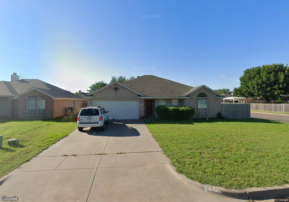
225 Preston Dr Cleburne, TX 76033
Estimated Value: $259,000 - $280,000
3
Beds
2
Baths
1,761
Sq Ft
$154/Sq Ft
Est. Value
About This Home
This home is located at 225 Preston Dr, Cleburne, TX 76033 and is currently estimated at $270,772, approximately $153 per square foot. 225 Preston Dr is a home located in Johnson County with nearby schools including Irving Elementary School, A.D. Wheat Middle School, and Cleburne High School.
Ownership History
Date
Name
Owned For
Owner Type
Purchase Details
Closed on
Jan 25, 2018
Sold by
Terry Shelley D and Rodriguez Shelley Terry
Bought by
Uyehara Sara and Uyehara Bryce
Current Estimated Value
Home Financials for this Owner
Home Financials are based on the most recent Mortgage that was taken out on this home.
Original Mortgage
$152,290
Outstanding Balance
$128,781
Interest Rate
3.93%
Mortgage Type
New Conventional
Estimated Equity
$141,991
Purchase Details
Closed on
Jan 20, 2009
Sold by
Mcgowan Laura and Mcgowan Jerry
Bought by
Gmac Mortgage Llc and Gmac Mortgage Corporation
Create a Home Valuation Report for This Property
The Home Valuation Report is an in-depth analysis detailing your home's value as well as a comparison with similar homes in the area
Home Values in the Area
Average Home Value in this Area
Purchase History
| Date | Buyer | Sale Price | Title Company |
|---|---|---|---|
| Uyehara Sara | -- | Providence Title Co | |
| Gmac Mortgage Llc | $153,092 | None Available |
Source: Public Records
Mortgage History
| Date | Status | Borrower | Loan Amount |
|---|---|---|---|
| Open | Uyehara Sara | $152,290 |
Source: Public Records
Tax History
| Year | Tax Paid | Tax Assessment Tax Assessment Total Assessment is a certain percentage of the fair market value that is determined by local assessors to be the total taxable value of land and additions on the property. | Land | Improvement |
|---|---|---|---|---|
| 2025 | $4,469 | $252,094 | $54,000 | $198,094 |
| 2024 | $5,890 | $264,167 | $54,000 | $210,167 |
| 2023 | $4,135 | $264,167 | $54,000 | $210,167 |
| 2022 | $5,647 | $225,648 | $44,500 | $181,148 |
| 2021 | $5,364 | $206,349 | $39,500 | $166,849 |
| 2020 | $5,227 | $188,616 | $25,000 | $163,616 |
| 2019 | $5,021 | $169,916 | $25,000 | $144,916 |
| 2018 | $4,595 | $160,567 | $25,000 | $135,567 |
| 2017 | $4,160 | $151,217 | $25,000 | $126,217 |
| 2016 | $3,781 | $128,457 | $15,000 | $113,457 |
Source: Public Records
Map
Nearby Homes
Your Personal Tour Guide
Ask me questions while you tour the home.