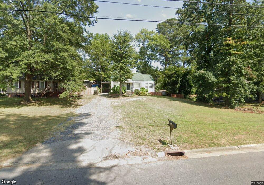
225 S Grade Dr Dalton, GA 30721
Estimated Value: $160,000 - $198,000
Studio
2
Baths
1,024
Sq Ft
$172/Sq Ft
Est. Value
About This Home
This home is located at 225 S Grade Dr, Dalton, GA 30721 and is currently estimated at $175,706, approximately $171 per square foot. 225 S Grade Dr is a home located in Whitfield County with nearby schools including Roan Elementary School, Dalton High School, and Christian Heritage School.
Ownership History
Date
Name
Owned For
Owner Type
Purchase Details
Closed on
Jan 8, 2003
Sold by
Homeside Lending Inc
Bought by
Johnson Sandra F
Current Estimated Value
Purchase Details
Closed on
Jul 2, 2002
Sold by
Homeside Lending Inc
Bought by
Secretary Of Housing & Urban Development
Purchase Details
Closed on
Mar 1, 1998
Bought by
Buckner James and Buckner Chastain
Create a Home Valuation Report for This Property
The Home Valuation Report is an in-depth analysis detailing your home's value as well as a comparison with similar homes in the area
Purchase History
| Date | Buyer | Sale Price | Title Company |
|---|---|---|---|
| Johnson Sandra F | -- | -- | |
| Secretary Of Housing & Urban Development | -- | -- | |
| Homeside Lending Inc | -- | -- | |
| Buckner James | $73,000 | -- |
Source: Public Records
Tax History
| Year | Tax Paid | Tax Assessment Tax Assessment Total Assessment is a certain percentage of the fair market value that is determined by local assessors to be the total taxable value of land and additions on the property. | Land | Improvement |
|---|---|---|---|---|
| 2025 | $1,568 | $59,210 | $8,400 | $50,810 |
| 2024 | $1,568 | $59,210 | $8,400 | $50,810 |
| 2023 | $1,302 | $41,288 | $7,000 | $34,288 |
| 2022 | $744 | $28,984 | $7,350 | $21,634 |
| 2021 | $745 | $28,984 | $7,350 | $21,634 |
| 2020 | $762 | $28,984 | $7,350 | $21,634 |
| 2019 | $782 | $28,984 | $7,350 | $21,634 |
| 2018 | $751 | $28,012 | $7,350 | $20,662 |
| 2017 | $717 | $28,012 | $7,350 | $20,662 |
| 2016 | $581 | $24,193 | $5,380 | $18,813 |
| 2014 | $532 | $23,052 | $5,124 | $17,928 |
| 2013 | -- | $23,052 | $5,124 | $17,928 |
Source: Public Records
Map
Nearby Homes
- 306 Robinwood Dr
- 1217 Hair St Unit 1
- 171 Keith St
- 1118 Dozier St
- 303 Janice St
- 1133 Orman St
- 108 Van Buren Dr
- 301B Fields Ave
- 307 N Bogle St
- 1902 Bartenfield Dr
- 204 N Bogle St
- 514 Sheridan Ave
- 1104 May St
- 825 Martin Luther King jr Blvd
- 1114 Underwood St
- 626 Fifth Ave
- 432 4th Ave
- 0 Underwood St Unit 129860
- 258 Richardson Dr
- 601 Juniper Ave
Your Personal Tour Guide
Ask me questions while you tour the home.