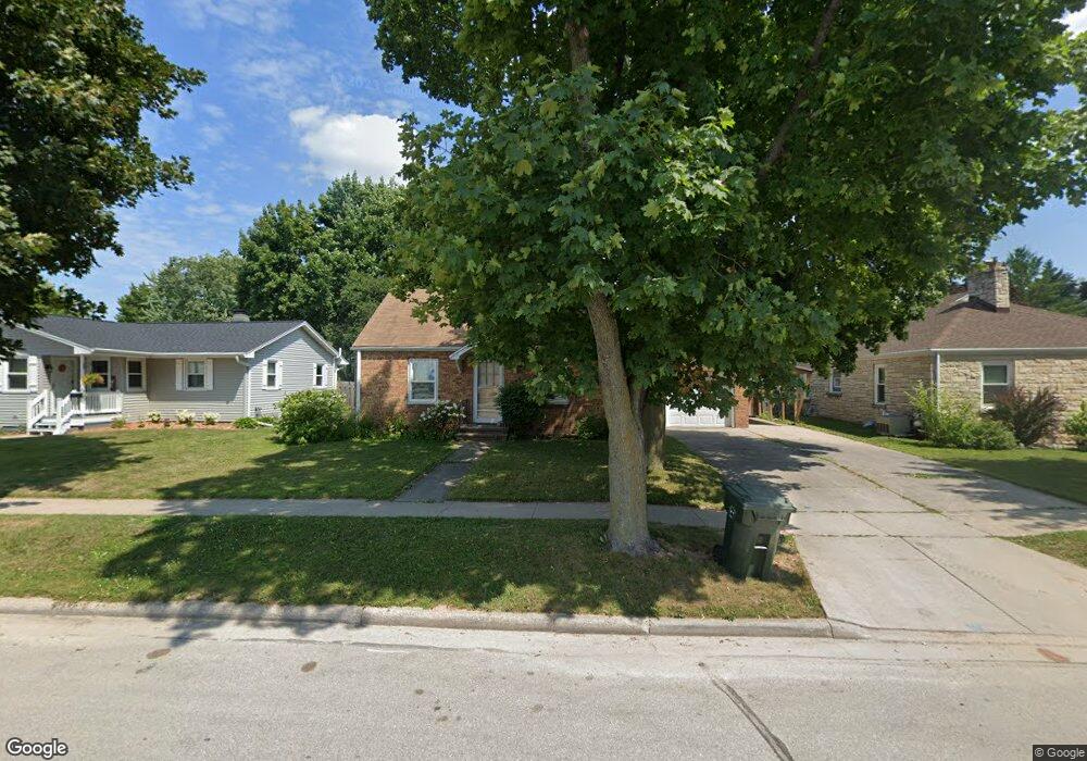
225 S Michigan St de Pere, WI 54115
Estimated Value: $231,000 - $266,000
3
Beds
2
Baths
1,512
Sq Ft
$165/Sq Ft
Est. Value
About This Home
This home is located at 225 S Michigan St, de Pere, WI 54115 and is currently estimated at $249,304, approximately $164 per square foot. 225 S Michigan St is a home located in Brown County with nearby schools including Dickinson Elementary School, Foxview Intermediate School, and De Pere Middle School.
Ownership History
Date
Name
Owned For
Owner Type
Purchase Details
Closed on
Mar 13, 2024
Sold by
Huxford Kay M and Huxford Y
Bought by
Huxford Kay M and Kay M Huxford Revocable Trust Of 2024
Current Estimated Value
Purchase Details
Closed on
Jun 1, 2021
Sold by
Huxford Richard A and Huxford Bevery
Bought by
Huxford Kay M
Purchase Details
Closed on
Jan 4, 2005
Sold by
Huxford Richard A and Revocable Trust Of Richard A H
Bought by
Huxford Richard A and Huxford Beverly
Create a Home Valuation Report for This Property
The Home Valuation Report is an in-depth analysis detailing your home's value as well as a comparison with similar homes in the area
Home Values in the Area
Average Home Value in this Area
Purchase History
| Date | Buyer | Sale Price | Title Company |
|---|---|---|---|
| Huxford Kay M | -- | -- | |
| Huxford Kay M | -- | None Available | |
| Huxford Richard A | -- | -- |
Source: Public Records
Tax History Compared to Growth
Tax History
| Year | Tax Paid | Tax Assessment Tax Assessment Total Assessment is a certain percentage of the fair market value that is determined by local assessors to be the total taxable value of land and additions on the property. | Land | Improvement |
|---|---|---|---|---|
| 2024 | $2,815 | $189,000 | $24,100 | $164,900 |
| 2023 | $2,553 | $178,000 | $24,100 | $153,900 |
| 2022 | $2,361 | $157,300 | $24,100 | $133,200 |
| 2021 | $2,208 | $138,900 | $20,100 | $118,800 |
| 2020 | $2,254 | $131,100 | $20,100 | $111,000 |
| 2019 | $2,300 | $121,800 | $20,100 | $101,700 |
| 2018 | $2,351 | $113,800 | $20,100 | $93,700 |
| 2017 | $2,146 | $102,000 | $20,100 | $81,900 |
| 2016 | $2,171 | $101,500 | $20,100 | $81,400 |
| 2015 | $2,098 | $97,000 | $20,200 | $76,800 |
| 2014 | $2,114 | $97,000 | $20,200 | $76,800 |
| 2013 | $2,114 | $97,000 | $20,200 | $76,800 |
Source: Public Records
Map
Nearby Homes
- 303 S Huron St
- 1611 N Honeysuckle Cir
- 305 Battery Ave
- 416 Lansdowne St
- 337 Battery Ave
- 385 Battery Ave
- 413 Brookline Ave
- 410 Battery Ave
- 400 Battery Ave
- 324 S Ontario St
- 1004 Gulfstream Ct
- 115 N Winnebago St
- 120 N Winnebago St
- 1020 Franklin St
- 200 William St Unit 402
- 830 S Superior St Unit 832
- 318 S Webster Ave
- 907 Fulton St
- 801 S Erie St
- 607 N Winnebago St
- 233 S Michigan St
- 219 S Michigan St
- 615 Lewis St
- 215 S Michigan St
- 220 S Superior St
- 621 Lewis St
- 214 S Superior St
- 205 S Michigan St
- 610 Lewis St Unit 612
- 620 Lewis St
- 208 S Superior St
- 518 Lewis St
- 604 Charles St
- 608 Charles St
- 302 S Superior St
- 309 S Michigan St
- 202 S Superior St
- 308 S Superior St
- 514 Lewis St
- 308 S Michigan St