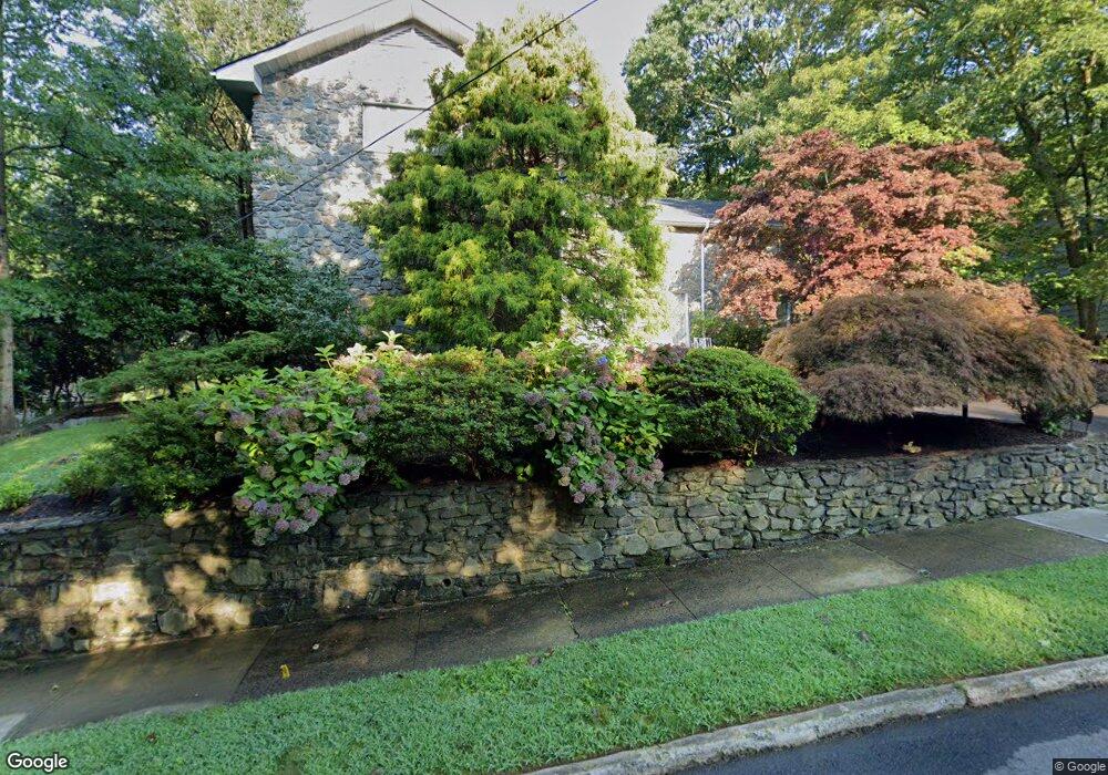
225 Stevenson Rd New Haven, CT 06515
Westville NeighborhoodEstimated Value: $552,000 - $950,000
5
Beds
4
Baths
5,668
Sq Ft
$130/Sq Ft
Est. Value
About This Home
This home is located at 225 Stevenson Rd, New Haven, CT 06515 and is currently estimated at $738,913, approximately $130 per square foot. 225 Stevenson Rd is a home located in New Haven County with nearby schools including Elm City Montessori School and Hopkins School.
Ownership History
Date
Name
Owned For
Owner Type
Purchase Details
Closed on
Aug 15, 2024
Sold by
Yale University
Bought by
Joel Kahan Ret and Kahan Ret
Current Estimated Value
Purchase Details
Closed on
Jan 10, 2023
Sold by
Kahan Susan A
Bought by
Susan A Kahan Ret and Kahan
Purchase Details
Closed on
Jan 20, 1975
Bought by
Kahan Joel and Kahan Susan A
Create a Home Valuation Report for This Property
The Home Valuation Report is an in-depth analysis detailing your home's value as well as a comparison with similar homes in the area
Home Values in the Area
Average Home Value in this Area
Purchase History
| Date | Buyer | Sale Price | Title Company |
|---|---|---|---|
| Joel Kahan Ret | -- | None Available | |
| Joel Kahan Ret | -- | None Available | |
| Susan A Kahan Ret | -- | None Available | |
| Susan A Kahan Ret | -- | None Available | |
| Susan A Kahan Ret | -- | None Available | |
| Joel Kahan Ret | -- | None Available | |
| Joel Kahan Ret | -- | None Available | |
| Kahan Joel | $81,000 | -- |
Source: Public Records
Tax History Compared to Growth
Tax History
| Year | Tax Paid | Tax Assessment Tax Assessment Total Assessment is a certain percentage of the fair market value that is determined by local assessors to be the total taxable value of land and additions on the property. | Land | Improvement |
|---|---|---|---|---|
| 2025 | $19,924 | $505,680 | $65,940 | $439,740 |
| 2024 | $19,393 | $503,720 | $63,980 | $439,740 |
| 2023 | $18,738 | $503,720 | $63,980 | $439,740 |
| 2022 | $20,023 | $503,720 | $63,980 | $439,740 |
| 2021 | $16,814 | $383,180 | $41,580 | $341,600 |
| 2020 | $16,814 | $383,180 | $41,580 | $341,600 |
| 2019 | $16,469 | $383,180 | $41,580 | $341,600 |
| 2018 | $16,469 | $383,180 | $41,580 | $341,600 |
| 2017 | $14,821 | $383,180 | $41,580 | $341,600 |
| 2016 | $17,085 | $411,180 | $43,190 | $367,990 |
| 2015 | $17,085 | $411,180 | $43,190 | $367,990 |
| 2014 | $17,085 | $411,180 | $43,190 | $367,990 |
Source: Public Records
Map
Nearby Homes
- 690 Forest Rd Unit 702
- 690 Forest Rd Unit 392
- 690 Forest Rd Unit 511
- 36 Birch Dr
- 119 Brooklawn Cir
- 11 Priscilla Rd
- 699 Forest Rd
- 51 Fountain Terrace
- 1975 Chapel St
- 360 Fountain St Unit 5
- 119 Westwood Rd
- 55 Marvel Rd
- 126 Willard St
- 36 Forest Hills Rd
- 206 W Rock Ave
- 56 Highview Ave
- 70 Woodfield Rd
- 1016 Whalley Ave Unit 6
- 595 Central Ave
- 233 Valley St
- 215 Stevenson Rd
- 235 Stevenson Rd
- 230 Stevenson Rd
- 220 Stevenson Rd
- 205 Stevenson Rd
- 245 Stevenson Rd
- 240 Stevenson Rd
- 210 Stevenson Rd
- 200 Stevenson Rd
- 257 Stevenson Rd
- 175 Whittier Rd
- 161 Whittier Rd
- 185 Stevenson Rd
- 190 Stevenson Rd
- 262 Stevenson Rd
- 149 Whittier Rd
- 220 Whittier Rd
- 271 Stevenson Rd
- 207 Whittier Rd
- 180 Whittier Rd