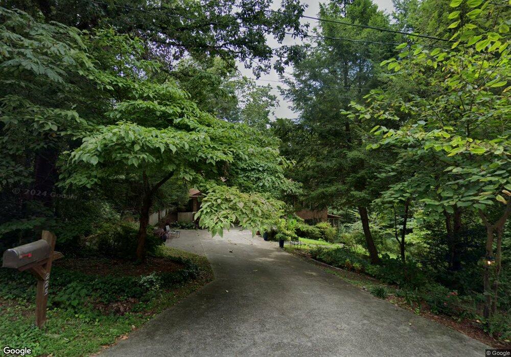
225 Westwood Cir Dalton, GA 30721
Estimated Value: $233,000 - $335,000
4
Beds
3
Baths
2,287
Sq Ft
$118/Sq Ft
Est. Value
About This Home
This home is located at 225 Westwood Cir, Dalton, GA 30721 and is currently estimated at $270,987, approximately $118 per square foot. 225 Westwood Cir is a home located in Whitfield County with nearby schools including Pleasant Grove Elementary School, New Hope Middle School, and Northwest Whitfield County High School.
Ownership History
Date
Name
Owned For
Owner Type
Purchase Details
Closed on
Jun 19, 2025
Sold by
Wilson John H
Bought by
Tibbetts David A
Current Estimated Value
Purchase Details
Closed on
Oct 2, 2009
Sold by
Cockburn William G
Bought by
Wilson John H
Purchase Details
Closed on
Jul 1, 1991
Bought by
Cockburn Susan C and Cockburn William G
Create a Home Valuation Report for This Property
The Home Valuation Report is an in-depth analysis detailing your home's value as well as a comparison with similar homes in the area
Home Values in the Area
Average Home Value in this Area
Purchase History
| Date | Buyer | Sale Price | Title Company |
|---|---|---|---|
| Tibbetts David A | $225,000 | None Listed On Document | |
| Wilson John H | $133,000 | -- | |
| Cockburn Susan C | -- | -- |
Source: Public Records
Tax History Compared to Growth
Tax History
| Year | Tax Paid | Tax Assessment Tax Assessment Total Assessment is a certain percentage of the fair market value that is determined by local assessors to be the total taxable value of land and additions on the property. | Land | Improvement |
|---|---|---|---|---|
| 2024 | $490 | $94,770 | $15,600 | $79,170 |
| 2023 | $490 | $65,673 | $10,600 | $55,073 |
| 2022 | $364 | $53,930 | $10,600 | $43,330 |
| 2021 | $365 | $53,930 | $10,600 | $43,330 |
| 2020 | $399 | $53,930 | $10,600 | $43,330 |
| 2019 | $416 | $53,930 | $10,600 | $43,330 |
| 2018 | $380 | $49,803 | $10,600 | $39,203 |
| 2017 | $381 | $49,803 | $10,600 | $39,203 |
| 2016 | $276 | $43,832 | $6,300 | $37,532 |
| 2014 | $192 | $43,832 | $6,300 | $37,532 |
| 2013 | -- | $50,478 | $6,300 | $44,178 |
Source: Public Records
Map
Nearby Homes
- 1903 Middle Summit Dr
- 1903 Summit View Dr
- 1899 N Summit Dr Unit 66
- 1899 Middle Summit Dr Unit 98
- 503 Moore Dr
- 110 Pinewood Way
- 439 Westbrook Rd
- 1709 Willow Oak Ln Unit 53
- 1706 Chestnut Oak Dr Unit 90
- 1702 Chestnut Oak Dr
- 1702 Chestnut Oak Dr Unit 83
- 1730 Brighton Way
- 1713 Brighton Way
- 1699 Pin Oak Dr Unit 133
- 1699 Burnt Oak Dr Unit 195
- 1699 Burnt Oak Dr
- 1614 Waring Rd NW
- 1696 Red Oak Dr Unit 184
- 1696 Red Oak Dr
- 1696 Red Oak Dr Unit 181
- 223 Westwood Cir
- 301 Westwood Cir
- 224 Westwood Cir
- 300 Westwood Cir
- 221 Westwood Cir
- 222 Westwood Cir
- 124 Jeanette Dr
- 219 Westwood Cir
- 302 Westwood Cir
- 304 Westwood Cir
- 220 Westwood Cir
- 306 Westwood Cir
- 217 Westwood Cir
- 120 Jeanette Dr
- 305 Westwood Cir
- 119 Jeanette Dr
- 119 Jeanette Dr
- 308 Westwood Cir
- 307 Westwood Cir
- 218 Westwood Cir