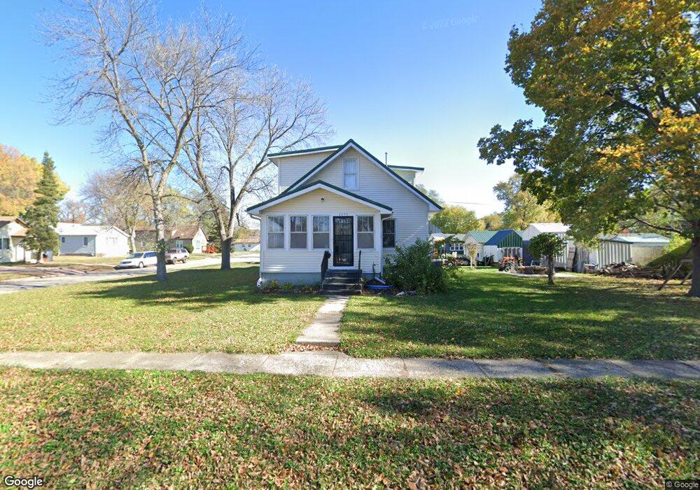
2250 Hanford St Sioux City, IA 51109
West Side Sioux City NeighborhoodEstimated Value: $202,000 - $217,024
3
Beds
1
Bath
1,450
Sq Ft
$144/Sq Ft
Est. Value
About This Home
This home is located at 2250 Hanford St, Sioux City, IA 51109 and is currently estimated at $209,256, approximately $144 per square foot. 2250 Hanford St is a home located in Woodbury County with nearby schools including Riverside Elementary School, West Middle School, and West High School.
Ownership History
Date
Name
Owned For
Owner Type
Purchase Details
Closed on
Apr 8, 2015
Sold by
Secretary Of Hud
Bought by
Verbeski Holly and Verbeski Donald S
Current Estimated Value
Home Financials for this Owner
Home Financials are based on the most recent Mortgage that was taken out on this home.
Original Mortgage
$36,000
Outstanding Balance
$13,355
Interest Rate
3.99%
Mortgage Type
Adjustable Rate Mortgage/ARM
Estimated Equity
$195,901
Purchase Details
Closed on
Dec 28, 2011
Sold by
Nationwide Advantage Mortgage Co
Bought by
Secretary Of Hud
Create a Home Valuation Report for This Property
The Home Valuation Report is an in-depth analysis detailing your home's value as well as a comparison with similar homes in the area
Home Values in the Area
Average Home Value in this Area
Purchase History
| Date | Buyer | Sale Price | Title Company |
|---|---|---|---|
| Verbeski Holly | $53,003 | None Available | |
| Secretary Of Hud | $72,500 | None Available |
Source: Public Records
Mortgage History
| Date | Status | Borrower | Loan Amount |
|---|---|---|---|
| Open | Verbeski Holly | $36,000 |
Source: Public Records
Tax History Compared to Growth
Tax History
| Year | Tax Paid | Tax Assessment Tax Assessment Total Assessment is a certain percentage of the fair market value that is determined by local assessors to be the total taxable value of land and additions on the property. | Land | Improvement |
|---|---|---|---|---|
| 2025 | $3,732 | $236,900 | $30,000 | $206,900 |
| 2024 | $3,732 | $214,900 | $23,200 | $191,700 |
| 2023 | $3,076 | $214,900 | $23,200 | $191,700 |
| 2022 | $2,378 | $153,400 | $21,200 | $132,200 |
| 2021 | $2,378 | $120,600 | $21,200 | $99,400 |
| 2020 | $2,306 | $109,700 | $19,900 | $89,800 |
| 2019 | $2,156 | $95,500 | $0 | $0 |
| 2018 | $2,130 | $95,500 | $0 | $0 |
| 2017 | $2,130 | $85,400 | $0 | $0 |
| 2016 | $1,914 | $85,400 | $0 | $0 |
| 2015 | $1,962 | $85,400 | $14,300 | $71,100 |
| 2014 | $1,971 | $86,200 | $24,100 | $62,100 |
Source: Public Records
Map
Nearby Homes
- 1219 Goldie Ave
- 1116 Pacquette Ave
- 1116 Edgewater Ave
- 2108 Roosevelt St
- 1016 Paul Ave
- 707 Whitcher Ave
- 800 Paul Ave
- 931 Campbell St
- 1530 S Derby Ln
- 929 Campbell St
- 2809 Home St
- 1919 Riverside Blvd
- 2510 Wilson St
- 4513 Military Rd
- 910 S Turtle Cove
- 908 S Turtle Cove
- 703 W Timber Rd
- 102 Levee Trail
- 3901 W 19th St
- 2120 S Jermyn St
- 2240 Hanford St
- 1417 Goldie Ave
- 1425 Goldie Ave
- 2247 Hanford St
- 1400 Goldie Ave
- 2251 Hanford St
- 2243 Hanford St
- 1407 Goldie Ave
- 2245 Fairbanks St
- 2232 Hanford St
- 1405 Goldie Ave
- 2231 Fairbanks St
- 1509 Goldie Ave
- 2237 Hanford St
- 2225 Fairbanks St
- 1422 La Plante Ave
- 2221 Hanford St
- 1410 La Plante Ave
- 1428 La Plante Ave
- 2222 Hanford St