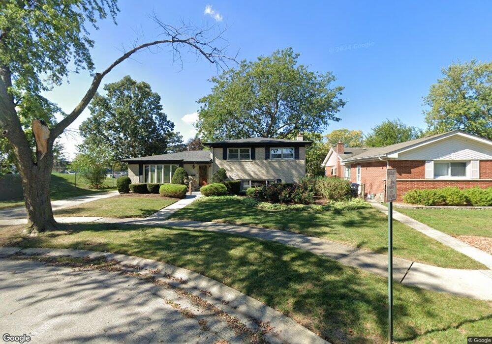
2250 Pine St Des Plaines, IL 60018
Estimated Value: $254,000 - $456,000
3
Beds
1
Bath
1,299
Sq Ft
$298/Sq Ft
Est. Value
About This Home
This home is located at 2250 Pine St, Des Plaines, IL 60018 and is currently estimated at $386,964, approximately $297 per square foot. 2250 Pine St is a home located in Cook County with nearby schools including Plainfield Elementary School, Algonquin Middle School, and Maine West High School.
Ownership History
Date
Name
Owned For
Owner Type
Purchase Details
Closed on
Oct 4, 2013
Sold by
Madon John F and Madon Eunice D
Bought by
John Frank Madon Trust No One and Eunice Dawn Madon Trust No One
Current Estimated Value
Purchase Details
Closed on
Jul 25, 1995
Sold by
First Bank National Assn
Bought by
Madon John and Madon Eunice
Home Financials for this Owner
Home Financials are based on the most recent Mortgage that was taken out on this home.
Original Mortgage
$115,050
Interest Rate
7.51%
Create a Home Valuation Report for This Property
The Home Valuation Report is an in-depth analysis detailing your home's value as well as a comparison with similar homes in the area
Home Values in the Area
Average Home Value in this Area
Purchase History
| Date | Buyer | Sale Price | Title Company |
|---|---|---|---|
| John Frank Madon Trust No One | -- | None Available | |
| Madon John | -- | -- |
Source: Public Records
Mortgage History
| Date | Status | Borrower | Loan Amount |
|---|---|---|---|
| Closed | Madon John | $115,050 |
Source: Public Records
Tax History
| Year | Tax Paid | Tax Assessment Tax Assessment Total Assessment is a certain percentage of the fair market value that is determined by local assessors to be the total taxable value of land and additions on the property. | Land | Improvement |
|---|---|---|---|---|
| 2025 | $6,336 | $38,000 | $10,141 | $27,859 |
| 2024 | $6,336 | $30,000 | $8,451 | $21,549 |
| 2023 | $6,135 | $30,000 | $8,451 | $21,549 |
| 2022 | $6,135 | $30,000 | $8,451 | $21,549 |
| 2021 | $4,821 | $21,677 | $5,493 | $16,184 |
| 2020 | $4,863 | $21,677 | $5,493 | $16,184 |
| 2019 | $4,894 | $24,357 | $5,493 | $18,864 |
| 2018 | $4,771 | $22,136 | $4,859 | $17,277 |
| 2017 | $4,718 | $22,136 | $4,859 | $17,277 |
| 2016 | $4,962 | $22,136 | $4,859 | $17,277 |
| 2015 | $4,533 | $19,492 | $4,225 | $15,267 |
| 2014 | $4,910 | $20,995 | $4,225 | $16,770 |
| 2013 | $4,758 | $20,995 | $4,225 | $16,770 |
Source: Public Records
Map
Nearby Homes
- 1370 Fargo Ave Unit E
- 1629 E Touhy Ave
- 1641 E Touhy Ave
- 1738 Lunt Ave
- 1445 Everett Ave
- 1881 Orchard St
- 805 S Tures Ln
- 2323 Douglas Ave
- 1689 S Elm St
- 1922 Fargo Ave
- 2646 Maple St
- 635 Birchwood Ave
- 1757 Farwell Ave
- 614 Birchwood Ave
- 2035 Fargo Ave
- 2609 Eisenhower Dr
- 2600 S Scott St
- 1509 Center St
- 1541 Cooper St
- 1080 Bogart St
Your Personal Tour Guide
Ask me questions while you tour the home.