2252 Stanton Dr Westminster, MD 21157
Estimated Value: $549,000 - $581,000
--
Bed
3
Baths
2,112
Sq Ft
$270/Sq Ft
Est. Value
About This Home
This home is located at 2252 Stanton Dr, Westminster, MD 21157 and is currently estimated at $569,869, approximately $269 per square foot. 2252 Stanton Dr is a home located in Carroll County with nearby schools including Winfield Elementary School, Mount Airy Middle School, and South Carroll High School.
Ownership History
Date
Name
Owned For
Owner Type
Purchase Details
Closed on
Aug 9, 1996
Sold by
Peterson Steven P
Bought by
Rockinson Stephen J and Rockinson Linda L
Current Estimated Value
Purchase Details
Closed on
Dec 29, 1994
Sold by
Federal Home Loan Mtge
Bought by
Peterson Steven P
Home Financials for this Owner
Home Financials are based on the most recent Mortgage that was taken out on this home.
Original Mortgage
$138,400
Interest Rate
9.2%
Purchase Details
Closed on
Apr 20, 1994
Sold by
Bywaters Michael E
Bought by
Federal Home Loan Mtge
Create a Home Valuation Report for This Property
The Home Valuation Report is an in-depth analysis detailing your home's value as well as a comparison with similar homes in the area
Home Values in the Area
Average Home Value in this Area
Purchase History
| Date | Buyer | Sale Price | Title Company |
|---|---|---|---|
| Rockinson Stephen J | $187,000 | -- | |
| Peterson Steven P | $173,000 | -- | |
| Federal Home Loan Mtge | $123,000 | -- |
Source: Public Records
Mortgage History
| Date | Status | Borrower | Loan Amount |
|---|---|---|---|
| Previous Owner | Federal Home Loan Mtge | $138,400 |
Source: Public Records
Tax History Compared to Growth
Tax History
| Year | Tax Paid | Tax Assessment Tax Assessment Total Assessment is a certain percentage of the fair market value that is determined by local assessors to be the total taxable value of land and additions on the property. | Land | Improvement |
|---|---|---|---|---|
| 2025 | $4,348 | $408,533 | $0 | $0 |
| 2024 | $4,348 | $382,900 | $176,900 | $206,000 |
| 2023 | $4,161 | $366,200 | $0 | $0 |
| 2022 | $3,949 | $349,500 | $0 | $0 |
| 2021 | $7,761 | $332,800 | $133,800 | $199,000 |
| 2020 | $3,733 | $328,000 | $0 | $0 |
| 2019 | $3,712 | $323,200 | $0 | $0 |
| 2018 | $3,626 | $318,400 | $133,800 | $184,600 |
| 2017 | $3,497 | $306,900 | $0 | $0 |
| 2016 | -- | $295,400 | $0 | $0 |
| 2015 | -- | $283,900 | $0 | $0 |
| 2014 | -- | $283,900 | $0 | $0 |
Source: Public Records
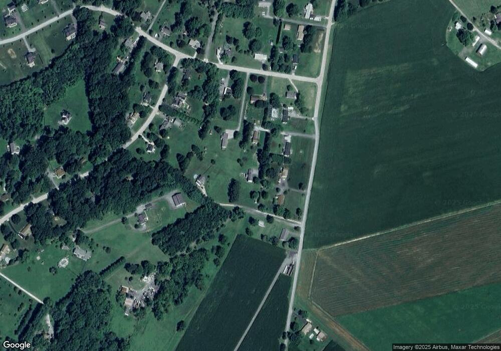
Map
Nearby Homes
- 2208 Bluebird Dr
- 2900 Marston Rd
- 3319 Mail Rd
- 3174 Cardinal Dr
- Lot 15 Westview Dr
- PARCEL 198 Dennings Rd
- 2995 Sams Creek Rd
- 3204 Hooper Rd
- 3536 Hooper Rd
- 2201 Sioux Dr
- 4102 Eyre Ct
- 2262 Cherokee Dr
- 2613 Liberty Rd
- 4206 Sequoia Dr
- 3526 Ellen Dr
- 15602 Wildrose Ct
- 3720 Buffalo Rd
- 2322 Nicodemus Rd
- 3400 Chula Dr
- 1110 Algernon Dr
- 2255 Boller Dr
- 2250 Stanton Dr
- 2251 Stanton Dr
- 2205 Bluebird Dr
- 2253 Boller Dr
- 3104 Mail Rd
- 3036 Glenvue Dr
- 3108 Mail Rd
- 2203 Bluebird Dr
- 2207 Bluebird Dr
- 2201 Bluebird Dr
- 3105 Cardinal Dr
- 3107 Cardinal Dr
- 3101 Cardinal Dr
- 2200 Brightspot Dr
- 3032 Glenvue Dr
- 2206 Bluebird Dr
- 3109 Cardinal Dr
- 3102 Cardinal Dr
- 3106 Cardinal Dr