2254 122nd Ave NE Spicer, MN 56288
Estimated Value: $386,000 - $425,000
--
Bed
--
Bath
1,248
Sq Ft
$320/Sq Ft
Est. Value
About This Home
This home is located at 2254 122nd Ave NE, Spicer, MN 56288 and is currently estimated at $399,207, approximately $319 per square foot. 2254 122nd Ave NE is a home located in Kandiyohi County with nearby schools including Prairie Woods Elementary School, New London-Spicer Middle School, and New London-Spicer Senior High School.
Ownership History
Date
Name
Owned For
Owner Type
Purchase Details
Closed on
Apr 7, 2005
Sold by
Dahlbeck Scott and Dahlbeck Cheryl
Bought by
Madison Rick A and Madison Mary B
Current Estimated Value
Purchase Details
Closed on
Apr 6, 2005
Sold by
Madison Rick A and Madison Mary B
Bought by
Dahlbeck Scott and Dahlbeck Cheryl
Create a Home Valuation Report for This Property
The Home Valuation Report is an in-depth analysis detailing your home's value as well as a comparison with similar homes in the area
Home Values in the Area
Average Home Value in this Area
Purchase History
| Date | Buyer | Sale Price | Title Company |
|---|---|---|---|
| Madison Rick A | -- | None Available | |
| Dahlbeck Scott | -- | None Available |
Source: Public Records
Tax History Compared to Growth
Tax History
| Year | Tax Paid | Tax Assessment Tax Assessment Total Assessment is a certain percentage of the fair market value that is determined by local assessors to be the total taxable value of land and additions on the property. | Land | Improvement |
|---|---|---|---|---|
| 2025 | $2,980 | $319,200 | $73,200 | $246,000 |
| 2024 | $2,852 | $305,500 | $63,100 | $242,400 |
| 2023 | $2,628 | $290,200 | $63,000 | $227,200 |
| 2022 | $2,540 | $273,000 | $56,000 | $217,000 |
| 2021 | $1,994 | $229,600 | $50,300 | $179,300 |
| 2020 | $1,998 | $202,000 | $50,200 | $151,800 |
| 2019 | $1,956 | $200,200 | $48,200 | $152,000 |
| 2018 | $1,878 | $193,500 | $48,200 | $145,300 |
| 2017 | $1,900 | $188,900 | $48,200 | $140,700 |
| 2016 | $1,842 | $1,687 | $0 | $0 |
| 2015 | -- | $0 | $0 | $0 |
| 2014 | -- | $0 | $0 | $0 |
Source: Public Records
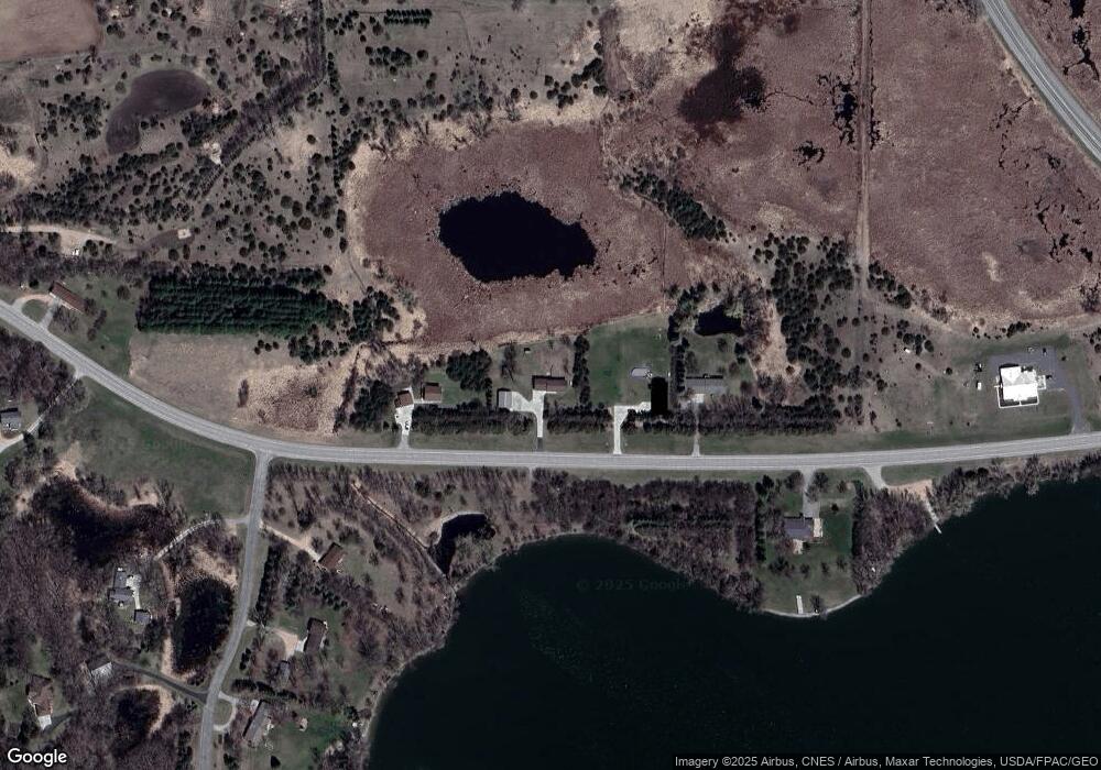
Map
Nearby Homes
- 10957 Highway 71 NE
- 311 131st Ave NE
- 4316 133rd Ave NE
- 13112 2nd St NE
- 4808 132nd Ave NE Unit 25
- 5078 132nd Ave NE
- 5288 132nd Ave NE Unit C7
- 4539 141st Ave NE
- 5288 (R22) 53rd St NE
- 5288 (R24) 53rd St NE
- 5272 (R26) 53rd St NE
- 5288 (R19) 53rd St NE
- 13205 (R17) 53rd St NE
- 5288 (R23) 53rd St NE
- 1245 137th Ave NW
- 3091 77th Ave NE
- 6844 140th Ave NE
- 7641 Long Lake Rd
- 621 Loretta Cir
- 403 Miller St
- xx NE 21 St
- 2312 122nd Ave NE
- 2186 122nd Ave NE
- 2398 122nd Ave NE
- 12197 21st St NE
- 2433 122nd Ave NE
- 12131 21st St NE
- - NE 122 Ave
- 12071 21st St NE
- xxx 122nd Ave NE
- 12176 21st St NE
- 11975 21st St NE
- Xxx 21st St NE
- 10073 W 1st St
- 12050 21st St NE
- L04 B02 Ne 21 St
- 0 NE 21 St Unit 4 Blk 2 3575828
- - NE 21st St
- ##### 21st St NE
- 11941 21st St NE