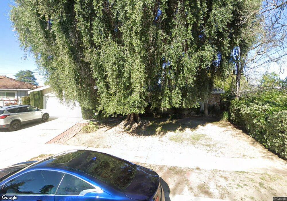
22559 Tiara St Woodland Hills, CA 91367
Estimated Value: $1,117,000 - $1,558,000
4
Beds
3
Baths
1,992
Sq Ft
$672/Sq Ft
Est. Value
About This Home
This home is located at 22559 Tiara St, Woodland Hills, CA 91367 and is currently estimated at $1,339,275, approximately $672 per square foot. 22559 Tiara St is a home located in Los Angeles County with nearby schools including Woodlake Elementary Community Charter, Hamlin Charter Academy, and Hale Charter Academy.
Ownership History
Date
Name
Owned For
Owner Type
Purchase Details
Closed on
Jul 18, 2025
Sold by
Misumi Michael Hiroshi and Misumi Dora Yi-Ying
Bought by
Misumi Family Living Trust and Misumi
Current Estimated Value
Purchase Details
Closed on
Aug 3, 1998
Sold by
Novak Ruth
Bought by
Misumi Michael and Misumi Dora Yi Ying
Home Financials for this Owner
Home Financials are based on the most recent Mortgage that was taken out on this home.
Original Mortgage
$220,000
Interest Rate
6.93%
Create a Home Valuation Report for This Property
The Home Valuation Report is an in-depth analysis detailing your home's value as well as a comparison with similar homes in the area
Home Values in the Area
Average Home Value in this Area
Purchase History
| Date | Buyer | Sale Price | Title Company |
|---|---|---|---|
| Misumi Family Living Trust | -- | None Listed On Document | |
| Misumi Michael | $275,000 | First American Title Co |
Source: Public Records
Mortgage History
| Date | Status | Borrower | Loan Amount |
|---|---|---|---|
| Previous Owner | Misumi Michael | $220,000 | |
| Closed | Misumi Michael | $27,500 |
Source: Public Records
Tax History Compared to Growth
Tax History
| Year | Tax Paid | Tax Assessment Tax Assessment Total Assessment is a certain percentage of the fair market value that is determined by local assessors to be the total taxable value of land and additions on the property. | Land | Improvement |
|---|---|---|---|---|
| 2025 | $5,374 | $431,092 | $172,433 | $258,659 |
| 2024 | $5,374 | $422,640 | $169,052 | $253,588 |
| 2023 | $5,274 | $414,354 | $165,738 | $248,616 |
| 2022 | $5,035 | $406,231 | $162,489 | $243,742 |
| 2021 | $4,965 | $398,266 | $159,303 | $238,963 |
| 2019 | $4,819 | $386,455 | $154,579 | $231,876 |
| 2018 | $4,740 | $378,879 | $151,549 | $227,330 |
| 2016 | $4,516 | $364,168 | $145,665 | $218,503 |
| 2015 | $4,451 | $358,698 | $143,477 | $215,221 |
| 2014 | $4,471 | $351,673 | $140,667 | $211,006 |
Source: Public Records
Map
Nearby Homes
- 22623 Califa St
- 5920 Kentland Ave
- 22607 Hatteras St
- 22616 Hatteras St
- 22651 Calvert St
- 6121 Shoup Ave Unit 10
- 22441 Martha St
- 6207 Capistrano Ave
- 6228 Sale Ave
- 22851 Calvert St
- 6243 Fallbrook Ave
- 22542 Burbank Blvd
- 6246 1/2 Shoup Ave
- 6217 Nita Ave
- 22835 Styles St
- 5550 Fallbrook Ave
- 22642 Victory Blvd
- 22910 Collins St
- 22616 Berdon St
- 22642 Berdon St
- 22555 Tiara St
- 22569 Tiara St
- 22558 Tiara St
- 22600 Oxnard St
- 22545 Tiara St
- 22554 Tiara St
- 22616 Oxnard St
- 22566 Tiara St
- 22562 Tiara St
- 22544 Tiara St
- 5943 Kentland Ave
- 5933 Kentland Ave
- 22636 Oxnard St
- 22611 Califa St
- 5921 Kentland Ave
- 22627 Califa St
- 5951 Kentland Ave
- 22545 Califa St
- 5911 Kentland Ave
- 22623 Oxnard St