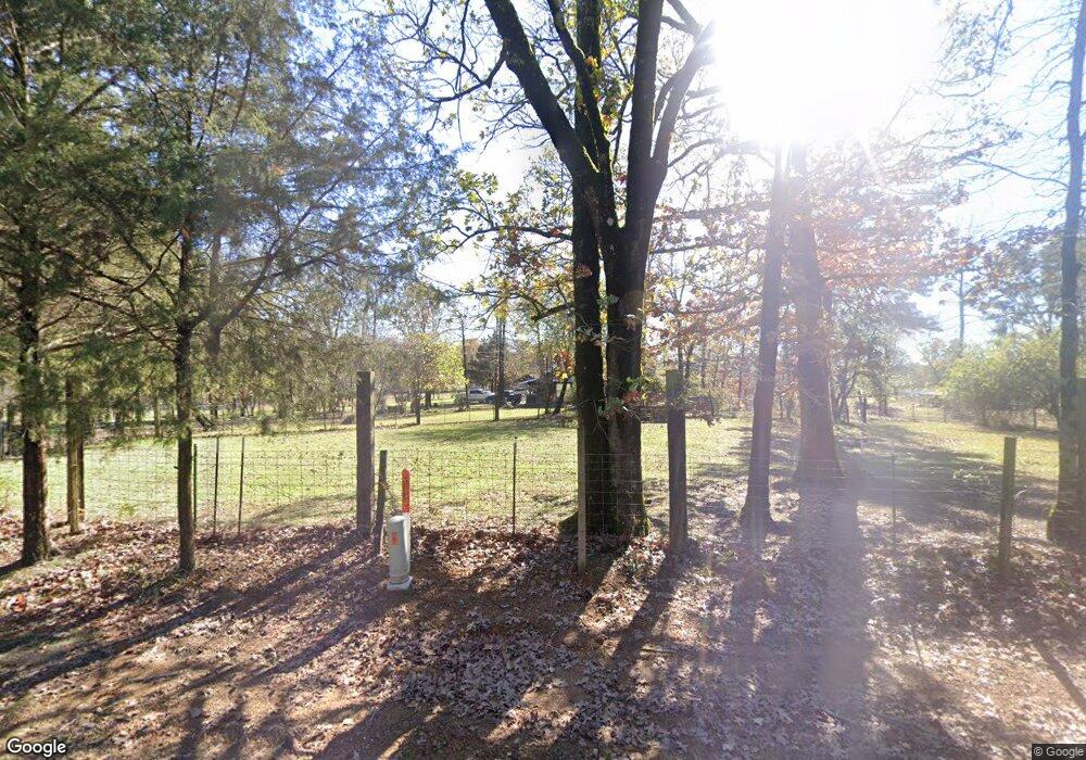
2256 Sherwood Rd Broken Bow, OK 74728
Estimated Value: $182,754 - $526,000
3
Beds
2
Baths
1,428
Sq Ft
$238/Sq Ft
Est. Value
About This Home
This home is located at 2256 Sherwood Rd, Broken Bow, OK 74728 and is currently estimated at $340,251, approximately $238 per square foot. 2256 Sherwood Rd is a home located in McCurtain County with nearby schools including Battiest Elementary School and Battiest High School.
Ownership History
Date
Name
Owned For
Owner Type
Purchase Details
Closed on
Mar 15, 2021
Sold by
Belt Tonya Lynn and Belt Jeffrey M
Bought by
Talley Jcsse Alan and Talley Angela
Current Estimated Value
Home Financials for this Owner
Home Financials are based on the most recent Mortgage that was taken out on this home.
Original Mortgage
$94,310
Interest Rate
2.73%
Mortgage Type
Future Advance Clause Open End Mortgage
Purchase Details
Closed on
Aug 5, 2020
Sold by
Talley Jesse Alan and Talley Angela
Bought by
Talley Jesse Alan and Talley Angela
Create a Home Valuation Report for This Property
The Home Valuation Report is an in-depth analysis detailing your home's value as well as a comparison with similar homes in the area
Home Values in the Area
Average Home Value in this Area
Purchase History
| Date | Buyer | Sale Price | Title Company |
|---|---|---|---|
| Talley Jcsse Alan | -- | None Available | |
| Talley Jesse Alan | -- | None Available |
Source: Public Records
Mortgage History
| Date | Status | Borrower | Loan Amount |
|---|---|---|---|
| Previous Owner | Talley Jcsse Alan | $94,310 |
Source: Public Records
Tax History Compared to Growth
Tax History
| Year | Tax Paid | Tax Assessment Tax Assessment Total Assessment is a certain percentage of the fair market value that is determined by local assessors to be the total taxable value of land and additions on the property. | Land | Improvement |
|---|---|---|---|---|
| 2024 | $144 | $3,814 | $404 | $3,410 |
| 2023 | $141 | $3,703 | $399 | $3,304 |
| 2022 | $132 | $3,595 | $387 | $3,208 |
| 2021 | $128 | $3,490 | $374 | $3,116 |
| 2020 | $117 | $3,389 | $363 | $3,026 |
| 2019 | $112 | $3,290 | $54 | $3,236 |
| 2018 | $105 | $3,194 | $54 | $3,140 |
| 2017 | $90 | $3,101 | $54 | $3,047 |
| 2016 | $83 | $3,011 | $54 | $2,957 |
| 2015 | $77 | $2,923 | $54 | $2,869 |
| 2014 | $71 | $2,923 | $54 | $2,869 |
Source: Public Records
Map
Nearby Homes
- 233 Johnny Beavers Trail Rd
- 74 Dana Bell Rd
- 48 Dana Bell Rd
- 136 Mount Herman Rd
- 003 Dana Bell Rd
- 276 Twisted Timber Trail
- 184 Twisted Timber Trail
- 154 Double Oak Dr
- 136 Twisted Timber Trail
- 76 Twisted Timber Trail
- 145 Double Oak Dr
- 78 Bent Branch Bend
- 153 Double Oak Dr
- 175 Johnson Rd
- 0 Tbd Fly Rod Rd
- 803 Johnny Beavers Trail Rd
- 1231 Catfish Bay Rd
- 1411 Catfish Bay Rd
- 27 Shade Tree Trail
- 25 Mission Fig Trail
- 884 Rainbow Trout Rd
- 674 Rainbow Trout Rd
- 94 Scott Rd
- 1667 Sherwood Rd
- 541 Rainbow Trout Rd
- 541 Rainbow Trout Rd
- 11 Harvey Cedars Ct S
- 13 Loveladies Ln
- 19 Harvey Cedars Ct S
- 18 Harvey Cedars Ct S
- 12 Harvey Cedars Ct S
- 25 Garden State Blvd
- 16 Ship Bottom Bend
- 69 Garden State Blvd
- 15 Barnegat Light Trail
- 36 Ship Bottom Bend
- 6 Barnegat Light Trail
- 5 Barnegat Light Trail
- 1175 Lake Trout Rd
- 46 Rainbow Trout Rd
