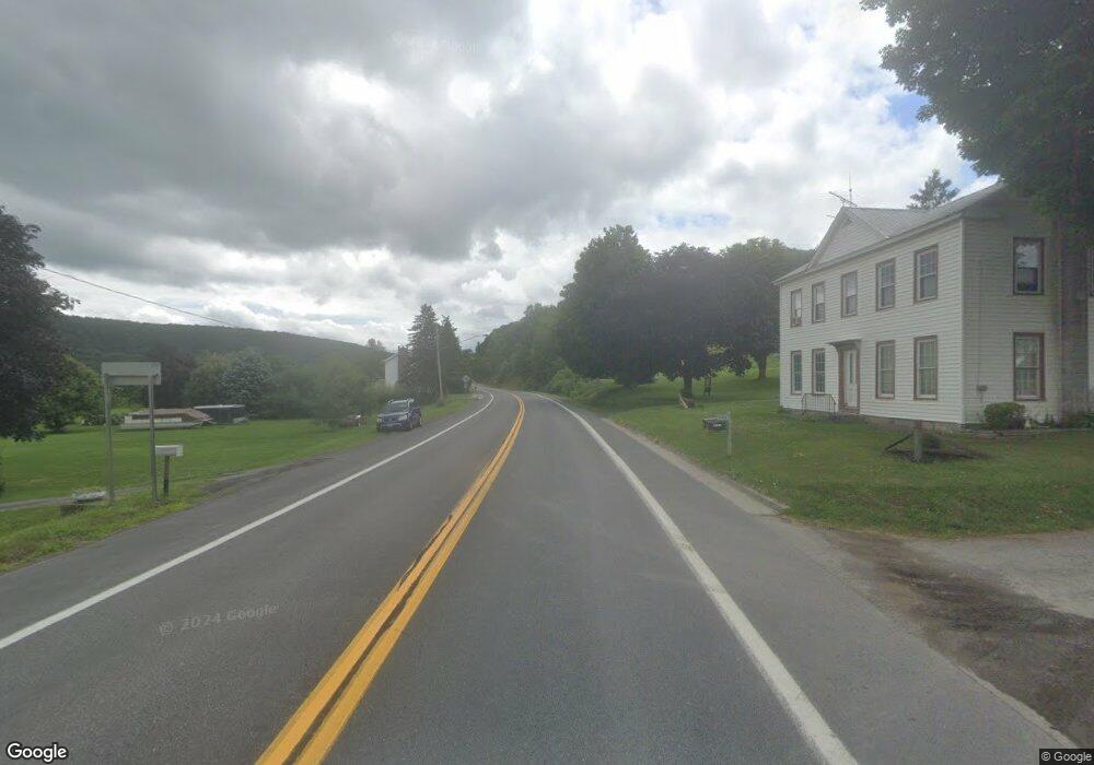
2256 State Route 165 Cobleskill, NY 12043
Estimated Value: $157,816 - $206,000
3
Beds
2
Baths
1,622
Sq Ft
$108/Sq Ft
Est. Value
About This Home
This home is located at 2256 State Route 165, Cobleskill, NY 12043 and is currently estimated at $175,204, approximately $108 per square foot. 2256 State Route 165 is a home located in Schoharie County with nearby schools including George D Ryder Elementary School, Joseph B Radez Elementary School, and Cobleskill Richmondville High School.
Ownership History
Date
Name
Owned For
Owner Type
Purchase Details
Closed on
Sep 12, 2023
Sold by
Loder Properties Inc
Bought by
Sweezey Theresa and Warner Malcum
Current Estimated Value
Home Financials for this Owner
Home Financials are based on the most recent Mortgage that was taken out on this home.
Original Mortgage
$145,790
Outstanding Balance
$141,667
Interest Rate
6.9%
Mortgage Type
New Conventional
Estimated Equity
$33,537
Purchase Details
Closed on
Jun 24, 1998
Sold by
Hall John
Bought by
Vanwormer David and Van Wormer Teresa
Create a Home Valuation Report for This Property
The Home Valuation Report is an in-depth analysis detailing your home's value as well as a comparison with similar homes in the area
Home Values in the Area
Average Home Value in this Area
Purchase History
| Date | Buyer | Sale Price | Title Company |
|---|---|---|---|
| Sweezey Theresa | -- | None Listed On Document | |
| Vanwormer David | $55,000 | -- |
Source: Public Records
Mortgage History
| Date | Status | Borrower | Loan Amount |
|---|---|---|---|
| Open | Sweezey Theresa | $145,790 |
Source: Public Records
Tax History
| Year | Tax Paid | Tax Assessment Tax Assessment Total Assessment is a certain percentage of the fair market value that is determined by local assessors to be the total taxable value of land and additions on the property. | Land | Improvement |
|---|---|---|---|---|
| 2025 | $2,619 | $50,500 | $7,300 | $43,200 |
| 2024 | $2,619 | $50,500 | $7,300 | $43,200 |
| 2023 | $2,598 | $50,500 | $7,300 | $43,200 |
| 2022 | $2,565 | $50,500 | $7,300 | $43,200 |
| 2021 | $2,541 | $50,500 | $7,300 | $43,200 |
| 2020 | $1,939 | $50,500 | $7,300 | $43,200 |
| 2019 | $1,803 | $50,500 | $7,300 | $43,200 |
| 2018 | $1,803 | $50,500 | $7,300 | $43,200 |
| 2017 | $1,661 | $50,500 | $7,300 | $43,200 |
| 2016 | $1,670 | $50,500 | $7,300 | $43,200 |
| 2015 | -- | $50,500 | $7,300 | $43,200 |
| 2014 | -- | $50,500 | $7,300 | $43,200 |
Source: Public Records
Map
Nearby Homes
- 2111 State Route 165
- 941 W Richmondville Rd
- 463 Cemetery Rd
- 6328 New York 10
- 6071 State Route 10
- 6510 State Route 10
- 5754 State Route 10
- 190 Wes Brown Rd
- 205 Winegard Rd
- 356 Honey Hill Rd
- 401 State Route 7
- L28 U S 20
- 148 France St
- 183 Main St
- 198 Main St
- 103 Union St
- 637 Chestnut St
- 184 Beechwood Rd
- 110 Center St
- 10671 New York 7
- 2266 New York 165
- 2244 State Route 165
- 2266 State Route 165
- 2272 State Route 165
- 2275 State Route 165
- 0 State Route 165 Unit 201424133
- lOT9&10 Penny Ln
- 122 Neville Rd
- 2282 State Route 165
- 2341 New York 165
- 137 Neville Rd
- 153 Park Ave
- 2275 New York 165
- 147 Park Ave
- 2305 State Route 165
- 157 Neville Rd
- 2202 State Route 165
- 2309 State Route 165
- 112 Mesick Ave
- 110 Mesick Ave
Your Personal Tour Guide
Ask me questions while you tour the home.