22560 Lenox Dr Unit 412 Cleveland, OH 44126
Estimated Value: $174,000 - $191,000
1
Bed
2
Baths
1,078
Sq Ft
$170/Sq Ft
Est. Value
About This Home
This home is located at 22560 Lenox Dr Unit 412, Cleveland, OH 44126 and is currently estimated at $183,187, approximately $169 per square foot. 22560 Lenox Dr Unit 412 is a home located in Cuyahoga County with nearby schools including Gilles-Sweet Elementary School, Lewis F Mayer Middle School, and Fairview High School.
Ownership History
Date
Name
Owned For
Owner Type
Purchase Details
Closed on
Apr 26, 2021
Sold by
Davis Roger T and Mayuga Myttle
Bought by
Mcguane Kathleen M
Current Estimated Value
Home Financials for this Owner
Home Financials are based on the most recent Mortgage that was taken out on this home.
Original Mortgage
$134,830
Outstanding Balance
$101,886
Interest Rate
3%
Mortgage Type
New Conventional
Estimated Equity
$81,301
Purchase Details
Closed on
Dec 14, 2006
Sold by
Gornall Brad
Bought by
Davis Roger T
Home Financials for this Owner
Home Financials are based on the most recent Mortgage that was taken out on this home.
Original Mortgage
$92,600
Interest Rate
6.33%
Mortgage Type
Purchase Money Mortgage
Purchase Details
Closed on
Jan 12, 2001
Sold by
Martin Jill C
Bought by
Gornall Brad
Home Financials for this Owner
Home Financials are based on the most recent Mortgage that was taken out on this home.
Original Mortgage
$102,820
Interest Rate
7.43%
Create a Home Valuation Report for This Property
The Home Valuation Report is an in-depth analysis detailing your home's value as well as a comparison with similar homes in the area
Home Values in the Area
Average Home Value in this Area
Purchase History
| Date | Buyer | Sale Price | Title Company |
|---|---|---|---|
| Mcguane Kathleen M | $139,000 | Northern Title Agency In | |
| Davis Roger T | $116,000 | Title First Agency | |
| Gornall Brad | $106,000 | Affiliated Title |
Source: Public Records
Mortgage History
| Date | Status | Borrower | Loan Amount |
|---|---|---|---|
| Open | Mcguane Kathleen M | $134,830 | |
| Previous Owner | Davis Roger T | $92,600 | |
| Previous Owner | Gornall Brad | $102,820 |
Source: Public Records
Tax History Compared to Growth
Tax History
| Year | Tax Paid | Tax Assessment Tax Assessment Total Assessment is a certain percentage of the fair market value that is determined by local assessors to be the total taxable value of land and additions on the property. | Land | Improvement |
|---|---|---|---|---|
| 2024 | $3,215 | $47,880 | $4,795 | $43,085 |
| 2023 | $4,008 | $51,320 | $5,150 | $46,170 |
| 2022 | $3,903 | $51,310 | $5,150 | $46,170 |
| 2021 | $4,017 | $51,310 | $5,150 | $46,170 |
| 2020 | $3,389 | $38,010 | $3,820 | $34,200 |
| 2019 | $3,004 | $108,600 | $10,900 | $97,700 |
| 2018 | $2,524 | $38,010 | $3,820 | $34,200 |
| 2017 | $2,142 | $25,070 | $2,490 | $22,580 |
| 2016 | $2,127 | $25,070 | $2,490 | $22,580 |
| 2015 | $2,480 | $25,070 | $2,490 | $22,580 |
| 2014 | $2,480 | $29,470 | $2,940 | $26,530 |
Source: Public Records
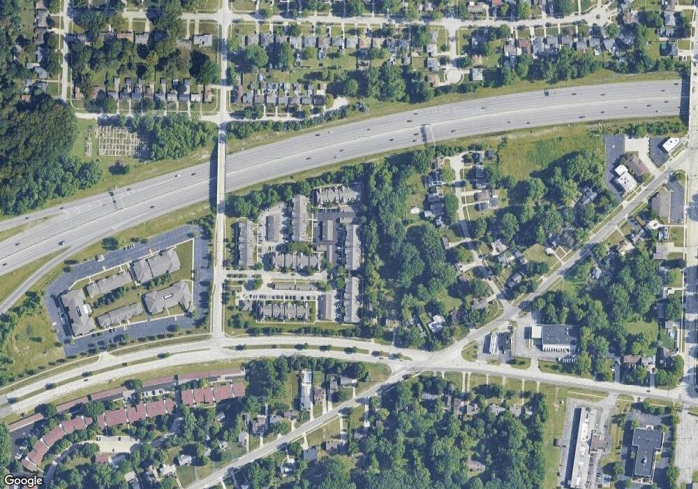
Map
Nearby Homes
- 22537 Lenox Dr
- 22640 Lenox Dr
- 22636 Mastick Rd
- 22250 Mastick Rd
- 22934 Mastick Rd Unit 102
- 22439 Haber Dr
- 22276 Sycamore Dr
- 22895 Mastick Rd
- 22534 Bard Ave
- 5951 Rockport Ln
- 4530 Clague Rd
- 23052 Mastick Rd
- 4590 Brendan Ln
- 4666 Brendan Cir
- 22503 Sandy Ln
- 5300 Sherwood Dr
- 4550 Georgette Ave
- 4505 Oak Cir
- 21877 Seabury Ave
- 23540 David Dr Unit 113C
- 22540 Lenox Dr Unit 414
- 22546 Lenox Dr Unit 425
- 22560 Lenox Dr Unit 412
- 22556 Lenox Dr Unit 414
- 22564 Lenox Dr Unit 410
- 22538 Lenox Dr Unit 421
- 22546 Lenox Dr
- 22560 Lenox Dr
- 22644 Lenox Dr Unit 213
- 22644 Lenox Dr
- 22584 Lenox Dr Unit 317
- 22584 Lenox Dr Unit 317
- 22584 Lenox Dr Unit 3
- 22565 Lenox Dr Unit 520
- 22565 Lenox Dr Unit 520
- 22565 Lenox Dr
- 22586 Lenox Dr Unit 327
- 22582 Lenox Dr Unit 326
- 22586 Lenox Dr Unit 327
- 22586 Lenox Dr