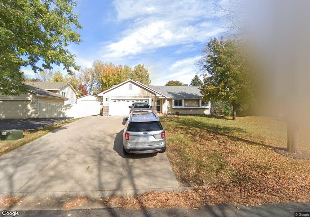
2259 132nd Ln NW Coon Rapids, MN 55448
Estimated Value: $399,000 - $430,000
5
Beds
3
Baths
1,276
Sq Ft
$325/Sq Ft
Est. Value
About This Home
This home is located at 2259 132nd Ln NW, Coon Rapids, MN 55448 and is currently estimated at $415,249, approximately $325 per square foot. 2259 132nd Ln NW is a home located in Anoka County with nearby schools including Lucile Bruner Elementary School, Morris Bye Elementary School, and Laughlin Junior/Senior High School.
Ownership History
Date
Name
Owned For
Owner Type
Purchase Details
Closed on
Sep 27, 2018
Sold by
Poepke Jon T
Bought by
Stanchfield John G and Stanchfield Rachel E
Current Estimated Value
Home Financials for this Owner
Home Financials are based on the most recent Mortgage that was taken out on this home.
Original Mortgage
$248,400
Outstanding Balance
$216,620
Interest Rate
4.5%
Mortgage Type
New Conventional
Estimated Equity
$198,629
Purchase Details
Closed on
Apr 24, 2007
Sold by
Meyer Gary A and Meyer Theresa A
Bought by
Poepke Jon T and Poepke Rhonda G
Home Financials for this Owner
Home Financials are based on the most recent Mortgage that was taken out on this home.
Original Mortgage
$228,450
Interest Rate
5.9%
Mortgage Type
VA
Create a Home Valuation Report for This Property
The Home Valuation Report is an in-depth analysis detailing your home's value as well as a comparison with similar homes in the area
Home Values in the Area
Average Home Value in this Area
Purchase History
| Date | Buyer | Sale Price | Title Company |
|---|---|---|---|
| Stanchfield John G | $276,000 | Liberty Title Inc | |
| Poepke Jon T | $228,450 | -- |
Source: Public Records
Mortgage History
| Date | Status | Borrower | Loan Amount |
|---|---|---|---|
| Open | Stanchfield John G | $248,400 | |
| Previous Owner | Poepke Jon T | $228,450 |
Source: Public Records
Tax History Compared to Growth
Tax History
| Year | Tax Paid | Tax Assessment Tax Assessment Total Assessment is a certain percentage of the fair market value that is determined by local assessors to be the total taxable value of land and additions on the property. | Land | Improvement |
|---|---|---|---|---|
| 2025 | $3,720 | $363,200 | $90,000 | $273,200 |
| 2024 | $3,720 | $354,500 | $87,000 | $267,500 |
| 2023 | $3,487 | $340,300 | $72,000 | $268,300 |
| 2022 | $3,067 | $355,200 | $72,000 | $283,200 |
| 2021 | $2,997 | $281,300 | $56,000 | $225,300 |
| 2020 | $2,920 | $269,200 | $56,000 | $213,200 |
| 2019 | $2,802 | $252,700 | $56,000 | $196,700 |
| 2018 | $2,619 | $236,600 | $0 | $0 |
| 2017 | $2,360 | $216,400 | $0 | $0 |
| 2016 | $2,408 | $193,800 | $0 | $0 |
| 2015 | $2,353 | $193,800 | $50,000 | $143,800 |
| 2014 | -- | $163,600 | $35,400 | $128,200 |
Source: Public Records
Map
Nearby Homes
- 13416 Swallow St NW
- 13519 Partridge Cir NW
- 13182 Zion St NW
- 1776 133rd Ave NW
- 2270 137th Ln NW
- 2740 132nd Ln NW
- 12760 Raven St NW
- 1687 131st Ln NW
- 1930 127th Cir NW
- 2201 139th Ave NW
- 2147 125th Ln NW
- 2675 128th Ave NW
- 13624 Gladiola St NW
- 13680 Gladiola St NW
- 13664 Gladiola St NW
- 1520 129th Ave NW
- 2538 140th Ln NW
- 2068 124th Ln NW
- 12554 Grouse St NW
- 13871 Eidelweiss St NW
- 2275 132nd Ln NW
- 2243 132nd Ln NW
- 2291 132nd Ln NW
- 2227 132nd Ln NW
- 2254 132nd Ln NW
- 2272 132nd Ln NW
- 13318 Swallow St NW
- 13248 Raven St NW
- 2288 132nd Ln NW
- 2211 132nd Ln NW
- 2286 133rd Ln NW
- 13232 Raven St NW
- 13265 Raven St NW
- 2294 133rd Ln NW
- 2282 133rd Ln NW
- 13239 Thrush St NW
- 13327 Swallow St NW
- 13245 Raven St NW
- 13216 Raven St NW
- 2308 132nd Ln NW