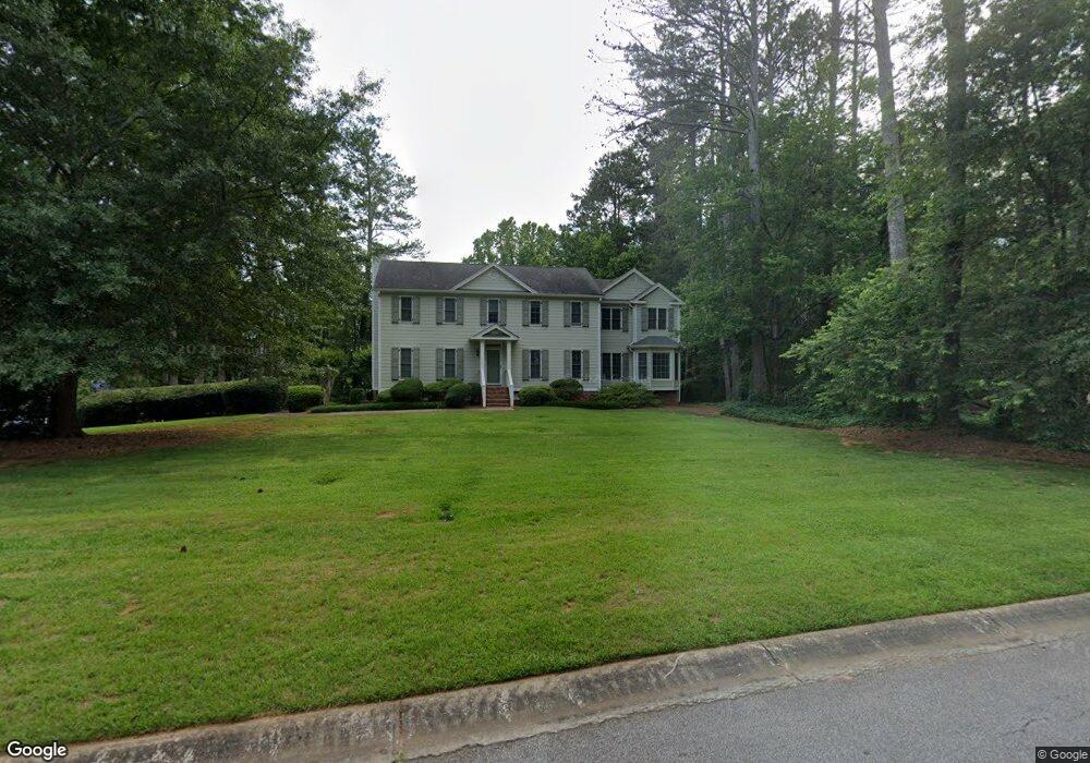
2259 Normandy Ct NE Unit 1 Marietta, GA 30062
East Cobb NeighborhoodEstimated Value: $631,000 - $796,000
4
Beds
4
Baths
3,727
Sq Ft
$199/Sq Ft
Est. Value
About This Home
This home is located at 2259 Normandy Ct NE Unit 1, Marietta, GA 30062 and is currently estimated at $743,359, approximately $199 per square foot. 2259 Normandy Ct NE Unit 1 is a home located in Cobb County with nearby schools including Murdock Elementary School, Dodgen Middle School, and Pope High School.
Ownership History
Date
Name
Owned For
Owner Type
Purchase Details
Closed on
Aug 12, 1998
Sold by
Payne Julie T and Payne Michael G
Bought by
Foreman Charles G and Foreman Tracy Lee
Current Estimated Value
Home Financials for this Owner
Home Financials are based on the most recent Mortgage that was taken out on this home.
Original Mortgage
$148,500
Outstanding Balance
$30,310
Interest Rate
6.97%
Mortgage Type
New Conventional
Estimated Equity
$713,049
Purchase Details
Closed on
May 20, 1994
Sold by
Woodall William J
Bought by
Payne Julie T Michael G
Create a Home Valuation Report for This Property
The Home Valuation Report is an in-depth analysis detailing your home's value as well as a comparison with similar homes in the area
Home Values in the Area
Average Home Value in this Area
Purchase History
| Date | Buyer | Sale Price | Title Company |
|---|---|---|---|
| Foreman Charles G | $165,000 | -- | |
| Payne Julie T Michael G | $158,000 | -- |
Source: Public Records
Mortgage History
| Date | Status | Borrower | Loan Amount |
|---|---|---|---|
| Open | Foreman Charles G | $148,500 | |
| Closed | Payne Julie T Michael G | -- |
Source: Public Records
Tax History Compared to Growth
Tax History
| Year | Tax Paid | Tax Assessment Tax Assessment Total Assessment is a certain percentage of the fair market value that is determined by local assessors to be the total taxable value of land and additions on the property. | Land | Improvement |
|---|---|---|---|---|
| 2025 | $5,771 | $248,912 | $48,000 | $200,912 |
| 2024 | $5,710 | $245,840 | $35,200 | $210,640 |
| 2023 | $5,167 | $245,840 | $35,200 | $210,640 |
| 2022 | $4,526 | $189,624 | $35,200 | $154,424 |
| 2021 | $4,526 | $189,624 | $35,200 | $154,424 |
| 2020 | $4,249 | $176,972 | $35,200 | $141,772 |
| 2019 | $4,249 | $176,972 | $35,200 | $141,772 |
| 2018 | $4,131 | $171,568 | $35,200 | $136,368 |
| 2017 | $4,035 | $171,568 | $35,200 | $136,368 |
| 2016 | $3,617 | $152,184 | $35,200 | $116,984 |
| 2015 | $3,541 | $145,728 | $35,200 | $110,528 |
| 2014 | $3,562 | $145,728 | $0 | $0 |
Source: Public Records
Map
Nearby Homes
- 3152 Normandy Cir NE
- 3292 Holly Mill Ct
- 2041 Kramer Way
- 3025 Bunker Hill Cir
- 3297 Post Oak Tritt Rd
- 2268 Woodsfield Ln NE
- 3246 Able Ct
- 3218 Holly Mill Run
- 2197 Cedar Forks Dr Unit 1
- 2510 Camelot Cir
- 3402 Devoe Ct
- 2186 Cedar Forks Dr
- 3237 Harvest Way
- 3287 Harvest Way
- 2260 Falkirk Pointe Dr
- 3091 Branford Ct
- 2138 Cedar Forks Dr Unit 2
- 3174 Normandy Cir NE
- 2421 Normandy Ct NE
- 3182 Normandy Cir NE
- 3201 Normandy Cir NE
- 3201 Normandy Cir NE Unit 18
- 3170 Normandy Cir NE
- 3211 Normandy Cir NE
- 2411 Normandy Ct NE
- 2420 Normandy Ct NE
- 0 Normandy Ct NE Unit 7509881
- 0 Normandy Ct NE Unit 7235937
- 0 Normandy Ct NE Unit 7081602
- 0 Normandy Ct NE Unit 8008566
- 0 Normandy Ct NE Unit 7310668
- 2244 Normandy Ct NE
- 3221 Normandy Cir NE
- 3102 Raines Ct
- 2400 Normandy Ct NE Unit 1
- 3092 Raines Ct
- 3164 Normandy Cir NE