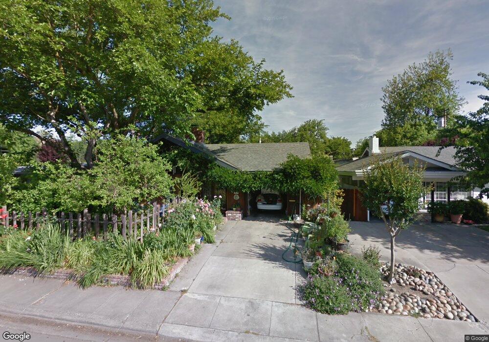
2259 Porter Way Stockton, CA 95207
Lincoln Village NeighborhoodEstimated Value: $347,000 - $437,000
3
Beds
1
Bath
1,404
Sq Ft
$281/Sq Ft
Est. Value
About This Home
This home is located at 2259 Porter Way, Stockton, CA 95207 and is currently estimated at $394,376, approximately $280 per square foot. 2259 Porter Way is a home located in San Joaquin County with nearby schools including Tully C. Knoles School, Sierra Middle School, and Lincoln High School.
Ownership History
Date
Name
Owned For
Owner Type
Purchase Details
Closed on
Aug 11, 2004
Sold by
Driver Linda J
Bought by
Driver Linda J and Linda J Driver Revocable Trust
Current Estimated Value
Purchase Details
Closed on
Sep 18, 1996
Sold by
Webb Linda J and Webb Linda J
Bought by
Driver Linda J
Home Financials for this Owner
Home Financials are based on the most recent Mortgage that was taken out on this home.
Original Mortgage
$55,000
Interest Rate
7.87%
Create a Home Valuation Report for This Property
The Home Valuation Report is an in-depth analysis detailing your home's value as well as a comparison with similar homes in the area
Home Values in the Area
Average Home Value in this Area
Purchase History
| Date | Buyer | Sale Price | Title Company |
|---|---|---|---|
| Driver Linda J | -- | -- | |
| Driver Linda J | -- | Central Valley Title Company |
Source: Public Records
Mortgage History
| Date | Status | Borrower | Loan Amount |
|---|---|---|---|
| Closed | Driver Linda J | $55,000 |
Source: Public Records
Tax History Compared to Growth
Tax History
| Year | Tax Paid | Tax Assessment Tax Assessment Total Assessment is a certain percentage of the fair market value that is determined by local assessors to be the total taxable value of land and additions on the property. | Land | Improvement |
|---|---|---|---|---|
| 2025 | $2,869 | $77,110 | $14,949 | $62,161 |
| 2024 | $2,763 | $75,599 | $14,656 | $60,943 |
| 2023 | $2,677 | $74,118 | $14,369 | $59,749 |
| 2022 | $2,545 | $72,666 | $14,088 | $58,578 |
| 2021 | $2,493 | $71,242 | $13,812 | $57,430 |
| 2020 | $2,458 | $70,513 | $13,671 | $56,842 |
| 2019 | $2,445 | $69,131 | $13,403 | $55,728 |
| 2018 | $2,490 | $67,777 | $13,141 | $54,636 |
| 2017 | $2,474 | $66,449 | $12,884 | $53,565 |
| 2016 | $2,346 | $65,147 | $12,632 | $52,515 |
| 2014 | $2,296 | $62,911 | $12,198 | $50,713 |
Source: Public Records
Map
Nearby Homes
- 2447 Calhoun Way
- 2014 Douglas Rd
- 2252 Canyon Creek Dr
- 2252 W Benjamin Holt Dr
- 1929 W Swain Rd
- 2128 Canyon Creek Dr
- 1864 Polk Way
- 1860 Douglas Rd
- 2009 Cedar Ridge Dr
- 2005 Cedar Ridge Dr
- 2039 W Benjamin Holt Dr
- 2421 Meadow Lake Dr
- 1707 W Swain Rd Unit 5
- 1703 Polk Way
- 2433 Pheasant Run Cir
- 5522 Teal Ct
- 1629 Porter Way
- 1633 Porter Way
- 5734 Turtle Valley Dr
- 2914 Prentiss Ct
- 2269 Porter Way
- 2247 Porter Way
- 2260 Douglas Rd
- 2250 Douglas Rd
- 2270 Douglas Rd
- 2237 Porter Way
- 2303 Porter Way
- 2260 Porter Way
- 2250 Porter Way
- 2240 Douglas Rd
- 2306 Douglas Rd
- 2240 Porter Way
- 2227 Porter Way Unit 21
- 2313 Porter Way
- 2230 Douglas Rd Unit 18
- 2314 Douglas Rd Unit 18
- 2314 Douglas Rd
- 2270 Porter Way
- 2230 Porter Way
- 2306 Porter Way