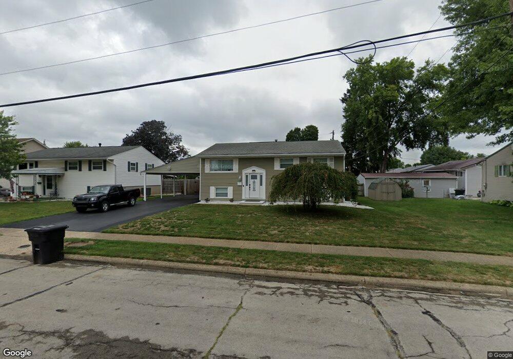
226 Brink Dr Circleville, OH 43113
Estimated Value: $211,015 - $288,000
4
Beds
2
Baths
1,856
Sq Ft
$131/Sq Ft
Est. Value
About This Home
This home is located at 226 Brink Dr, Circleville, OH 43113 and is currently estimated at $243,254, approximately $131 per square foot. 226 Brink Dr is a home located in Pickaway County with nearby schools including Circleville Elementary School, Circleville High School, and Crossroads Christian Academy.
Ownership History
Date
Name
Owned For
Owner Type
Purchase Details
Closed on
Dec 9, 1996
Sold by
Pontious Larry G
Bought by
Duvall David T and Duvall Kathy D
Current Estimated Value
Home Financials for this Owner
Home Financials are based on the most recent Mortgage that was taken out on this home.
Original Mortgage
$90,250
Outstanding Balance
$9,348
Interest Rate
7.91%
Mortgage Type
VA
Estimated Equity
$233,906
Purchase Details
Closed on
Jun 16, 1995
Sold by
Snyder Mary E
Bought by
Pontious Larry G
Home Financials for this Owner
Home Financials are based on the most recent Mortgage that was taken out on this home.
Original Mortgage
$70,000
Interest Rate
8.27%
Mortgage Type
New Conventional
Create a Home Valuation Report for This Property
The Home Valuation Report is an in-depth analysis detailing your home's value as well as a comparison with similar homes in the area
Home Values in the Area
Average Home Value in this Area
Purchase History
| Date | Buyer | Sale Price | Title Company |
|---|---|---|---|
| Duvall David T | $88,500 | -- | |
| Pontious Larry G | $70,050 | -- |
Source: Public Records
Mortgage History
| Date | Status | Borrower | Loan Amount |
|---|---|---|---|
| Open | Duvall David T | $90,250 | |
| Previous Owner | Pontious Larry G | $70,000 |
Source: Public Records
Tax History Compared to Growth
Tax History
| Year | Tax Paid | Tax Assessment Tax Assessment Total Assessment is a certain percentage of the fair market value that is determined by local assessors to be the total taxable value of land and additions on the property. | Land | Improvement |
|---|---|---|---|---|
| 2024 | -- | $50,530 | $6,940 | $43,590 |
| 2023 | $1,772 | $50,530 | $6,940 | $43,590 |
| 2022 | $1,768 | $40,050 | $5,800 | $34,250 |
| 2021 | $1,779 | $40,050 | $5,800 | $34,250 |
| 2020 | $1,779 | $40,050 | $5,800 | $34,250 |
| 2019 | $1,496 | $31,560 | $5,800 | $25,760 |
| 2018 | $1,540 | $31,560 | $5,800 | $25,760 |
| 2017 | $2,504 | $31,560 | $5,800 | $25,760 |
| 2016 | $1,474 | $29,980 | $6,910 | $23,070 |
| 2015 | $1,475 | $29,980 | $6,910 | $23,070 |
| 2014 | $1,439 | $29,360 | $6,910 | $22,450 |
| 2013 | $1,685 | $33,850 | $6,910 | $26,940 |
Source: Public Records
Map
Nearby Homes
- 152 Griner Ave
- 208 Moats Dr
- 334 Lancaster Pike
- 461 Watt St
- 452 Stella Ave
- 382 E Franklin St
- 308 Wedgewood Ct
- 549 E Union St
- 543 E Union St
- 386 Lawnwood Dr
- 539 E Union St
- 418 Clinton St
- 556 N Pickaway St
- 377 E Union St
- 466 John St
- 575 Renick Ave
- 474 Half Ave
- 614 Renick Ave
- 546 E Ohio St
- 590 Garden Pkwy
- 222 Brink Dr
- 230 Brink Dr
- 185 Nicholas Dr
- 206 Sherwood Dr
- 218 Brink Dr
- 193 Nicholas Dr
- 200 Sherwood Dr
- 156 Griner Ave
- 155 Nicholas Dr
- 201 Nicholas Dr
- 214 Brink Dr
- 212 Sherwood Dr
- 180 Nicholas Dr
- 178 Nicholas Dr
- 151 Nicholas Dr
- 168 Nicholas Dr
- 205 Sherwood Dr
- 150 Nicholas Dr
- 209 Nicholas Dr
- 148 Nicholas Dr