Estimated Value: $112,000 - $146,000
2
Beds
1
Bath
839
Sq Ft
$151/Sq Ft
Est. Value
About This Home
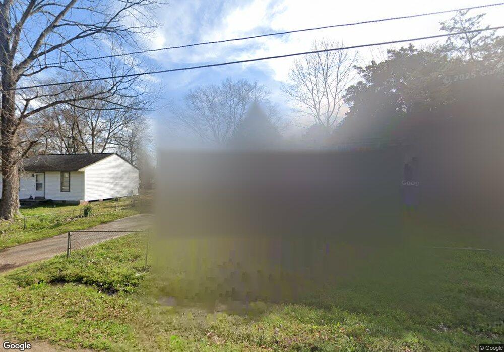
This home is located at 226 Cunningham Dr, Pearl, MS 39208 and is currently estimated at $126,844, approximately $151 per square foot. 226 Cunningham Dr is a home located in Rankin County with nearby schools including Pearl Lower Elementary School, Pearl Upper School, and Northside Elementary School.
Ownership History
Date
Name
Owned For
Owner Type
Purchase Details
Closed on
Feb 13, 2020
Sold by
Stewart Morgan
Bought by
Bne Enterpries Llc
Current Estimated Value
Home Financials for this Owner
Home Financials are based on the most recent Mortgage that was taken out on this home.
Original Mortgage
$59,808
Outstanding Balance
$52,387
Interest Rate
3.6%
Mortgage Type
Commercial
Estimated Equity
$74,457
Purchase Details
Closed on
Sep 16, 2009
Sold by
Marshall A Marshall A
Bought by
Winstead Robert M and Stewart Morgan
Create a Home Valuation Report for This Property
The Home Valuation Report is an in-depth analysis detailing your home's value as well as a comparison with similar homes in the area
Home Values in the Area
Average Home Value in this Area
Purchase History
| Date | Buyer | Sale Price | Title Company |
|---|---|---|---|
| Bne Enterpries Llc | -- | None Available | |
| Winstead Robert M | -- | -- |
Source: Public Records
Mortgage History
| Date | Status | Borrower | Loan Amount |
|---|---|---|---|
| Open | Bne Enterpries Llc | $59,808 |
Source: Public Records
Tax History
| Year | Tax Paid | Tax Assessment Tax Assessment Total Assessment is a certain percentage of the fair market value that is determined by local assessors to be the total taxable value of land and additions on the property. | Land | Improvement |
|---|---|---|---|---|
| 2025 | $1,051 | $7,952 | $0 | $0 |
| 2024 | $1,051 | $7,952 | $0 | $0 |
| 2023 | $724 | $5,457 | $0 | $0 |
| 2022 | $716 | $5,457 | $0 | $0 |
| 2021 | $716 | $5,457 | $0 | $0 |
| 2020 | $716 | $5,457 | $0 | $0 |
| 2019 | $670 | $5,039 | $0 | $0 |
| 2018 | $670 | $5,039 | $0 | $0 |
| 2017 | $670 | $5,039 | $0 | $0 |
| 2016 | $674 | $5,069 | $0 | $0 |
| 2015 | $674 | $5,069 | $0 | $0 |
| 2014 | $548 | $5,069 | $0 | $0 |
| 2013 | $572 | $4,512 | $0 | $0 |
Source: Public Records
Map
Nearby Homes
- 203 Pearl Dr
- 510 Marbury St
- 2212 Old Brandon Rd
- 439 Boehle St
- 305 Lionel Rd
- 302 Saint Paul St
- 9 Childre Rd
- 57 Childre Rd
- 2723 Sycamore Cove N
- 2009 Melvin Rd
- 464 Robert Michael Dr
- 871 N Bierdeman Rd
- 2069 Murray Dr
- 0 White Blvd Unit 4128485
- 2372 Upper Dr
- 283 Patton Dr
- 191 Chotard Ave
- 256 Bruin Ave
- 143 Pemberton Dr
- 180 Pemberton Dr
- 228 Cunningham Dr
- 224 Cunningham Dr
- 230 Cunningham Dr
- 223 Cunningham Dr
- 221 Cunningham Dr
- 222 Cunningham Dr
- 407 Pearl Dr
- 409 Pearl Dr Unit ( Lot 29 ) Ceda
- 405 Pearl Dr
- 409 Pearl Dr
- 411 Pearl Dr
- 411 Pearl Dr Unit ( Lot 30 ) Ceda
- 219 Cunningham Dr
- 403 Pearl Dr
- 220 Cunningham Dr
- 217 Cunningham Dr
- 401 Pearl Dr
- 2327 U S 80
- 218 Cunningham Dr
- 2303 Highway 80 E
Your Personal Tour Guide
Ask me questions while you tour the home.