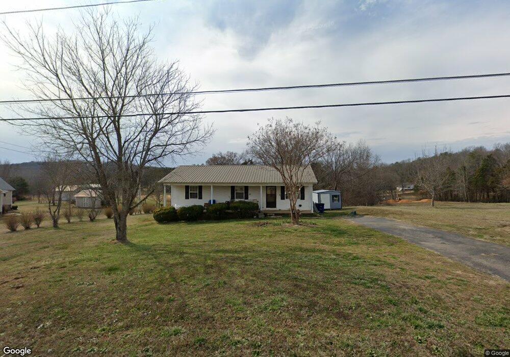
226 Forrest Ave Clifton, TN 38425
Estimated Value: $135,697 - $191,000
--
Bed
2
Baths
1,144
Sq Ft
$146/Sq Ft
Est. Value
About This Home
This home is located at 226 Forrest Ave, Clifton, TN 38425 and is currently estimated at $166,674, approximately $145 per square foot. 226 Forrest Ave is a home located in Wayne County.
Ownership History
Date
Name
Owned For
Owner Type
Purchase Details
Closed on
Apr 24, 2009
Sold by
Likaits Jeanette W
Bought by
Bannan Sonya M
Current Estimated Value
Purchase Details
Closed on
Apr 1, 2008
Sold by
Bannan Daniel A
Bought by
Likatts Jeanette
Purchase Details
Closed on
Jan 7, 1998
Sold by
George Wheat
Bought by
Likaits Jenaette W
Purchase Details
Closed on
Jul 12, 1995
Sold by
Lon Cromwell
Bought by
George Wheat
Purchase Details
Closed on
Jul 12, 1994
Bought by
Wheat George Marie
Purchase Details
Closed on
Jul 24, 1991
Bought by
Cromwell Lon
Create a Home Valuation Report for This Property
The Home Valuation Report is an in-depth analysis detailing your home's value as well as a comparison with similar homes in the area
Home Values in the Area
Average Home Value in this Area
Purchase History
| Date | Buyer | Sale Price | Title Company |
|---|---|---|---|
| Bannan Sonya M | -- | -- | |
| Likatts Jeanette | -- | -- | |
| Likaits Jenaette W | $8,000 | -- | |
| George Wheat | $42,000 | -- | |
| Wheat George Marie | $42,000 | -- | |
| Cromwell Lon | $1,200 | -- |
Source: Public Records
Tax History Compared to Growth
Tax History
| Year | Tax Paid | Tax Assessment Tax Assessment Total Assessment is a certain percentage of the fair market value that is determined by local assessors to be the total taxable value of land and additions on the property. | Land | Improvement |
|---|---|---|---|---|
| 2024 | $550 | $25,375 | $1,250 | $24,125 |
| 2023 | $487 | $25,375 | $1,250 | $24,125 |
| 2022 | $715 | $25,375 | $1,250 | $24,125 |
| 2021 | $514 | $25,375 | $1,250 | $24,125 |
| 2020 | $530 | $16,050 | $1,125 | $14,925 |
| 2019 | $369 | $16,050 | $1,125 | $14,925 |
| 2018 | $530 | $16,050 | $1,125 | $14,925 |
| 2017 | $530 | $16,050 | $1,125 | $14,925 |
| 2016 | $434 | $16,050 | $1,125 | $14,925 |
| 2014 | $451 | $16,615 | $0 | $0 |
Source: Public Records
Map
Nearby Homes
- 701 James K Polk St W
- 0 Tennessee 114
- 0 Main St
- 650 W Pillow St
- 51 Billy Nance Hwy
- 000 Linden Hwy
- 00 Nance Bend Rd
- 00 Riverview Rd
- 125 Airport Rd
- LOTS 41-52 Chaparral(off Tom Baker Rd) Ln
- 116 Sunset Dr
- 198 Treece Ln
- 1-12 Chaparral Rd
- 980 Skyline Dr
- 0 Ross Creek Ridge
- 895 Hassell Dr
- 000 Cotton Court Rd
- 0 Cotton Court Rd Unit RTC3031650
- Lot 32 Scenic Ln
- Lot 33 Scenic Ln
- 222 Forrest Ave
- 246 Forrest Ave
- 218 Forrest Ave
- 217 Forrest Ave
- 107 Miller Dr
- 301 Forrest Ave
- 215 Forrest Ave
- 216 Forrest Ave
- 106 Helton Dr
- 303 Forrest Ave
- 266 Forrest Ave
- 606 Walnut St
- 222 Selph St
- 211 Forrest Ave
- 715 James K Polk St
- 100 Lapa Ln
- 210 Forrest Ave
- 714 James K Polk St
- 910 James K Polk St
- 116 Helton Dr