226 Fort Pond Inn Rd Lancaster, MA 01523
Estimated Value: $680,000 - $969,000
2
Beds
3
Baths
2,684
Sq Ft
$293/Sq Ft
Est. Value
About This Home
This home is located at 226 Fort Pond Inn Rd, Lancaster, MA 01523 and is currently estimated at $787,018, approximately $293 per square foot. 226 Fort Pond Inn Rd is a home located in Worcester County with nearby schools including Mary Rowlandson Elementary School, Luther Burbank Middle School, and Nashoba Regional High School.
Ownership History
Date
Name
Owned For
Owner Type
Purchase Details
Closed on
Aug 6, 2024
Sold by
Debono Gregory J and Debono Julie A
Bought by
Debono Gregory J
Current Estimated Value
Purchase Details
Closed on
Aug 2, 1995
Sold by
Tourigny Armand and Tourigny Claire
Bought by
Debono Gregory
Home Financials for this Owner
Home Financials are based on the most recent Mortgage that was taken out on this home.
Original Mortgage
$198,450
Interest Rate
7.48%
Mortgage Type
Purchase Money Mortgage
Create a Home Valuation Report for This Property
The Home Valuation Report is an in-depth analysis detailing your home's value as well as a comparison with similar homes in the area
Home Values in the Area
Average Home Value in this Area
Purchase History
| Date | Buyer | Sale Price | Title Company |
|---|---|---|---|
| Debono Gregory J | -- | None Available | |
| Debono Gregory | $220,500 | -- | |
| Debono Gregory | $220,500 | -- |
Source: Public Records
Mortgage History
| Date | Status | Borrower | Loan Amount |
|---|---|---|---|
| Previous Owner | Debono Gregory | $270,000 | |
| Previous Owner | Debono Gregory | $198,450 |
Source: Public Records
Tax History Compared to Growth
Tax History
| Year | Tax Paid | Tax Assessment Tax Assessment Total Assessment is a certain percentage of the fair market value that is determined by local assessors to be the total taxable value of land and additions on the property. | Land | Improvement |
|---|---|---|---|---|
| 2025 | $9,840 | $608,900 | $258,500 | $350,400 |
| 2024 | $10,087 | $577,700 | $226,200 | $351,500 |
| 2023 | $8,884 | $516,800 | $200,900 | $315,900 |
| 2022 | $8,865 | $455,800 | $192,700 | $263,100 |
| 2021 | $8,563 | $428,600 | $192,700 | $235,900 |
| 2020 | $8,351 | $420,700 | $192,800 | $227,900 |
| 2019 | $88 | $409,600 | $192,800 | $216,800 |
| 2018 | $4,370 | $396,700 | $192,800 | $203,900 |
| 2016 | $7,126 | $364,500 | $175,300 | $189,200 |
| 2015 | $6,817 | $363,400 | $175,300 | $188,100 |
| 2014 | $6,741 | $356,500 | $175,300 | $181,200 |
Source: Public Records
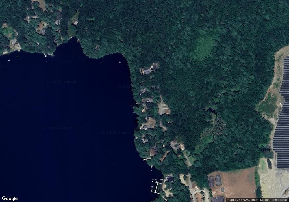
Map
Nearby Homes
- 6 Turner Ln
- 2038 Lunenburg Rd
- 25 Fuller Ave
- 0 Windsor Rd
- 35 Mcgovern Blvd
- 1497 Lunenburg Rd
- 217 White Pond Rd
- 53 Bridlecross Rd
- 802 Reservoir Rd
- 12 Easter Brook Rd
- 35 Fredonian St Unit K
- 4 Davis St
- 3 Mill St
- 2 Oakes Landing
- 19 Rheault Cir
- 30 Ayer Rd
- 40 Ayer Rd
- 659 Reservoir Rd
- 9 Winter Hill Rd
- 7 Ambrose Way Unit 5
- 216&17 Ft Pond Inn Rd
- 240 Fort Pond Inn Rd
- 216 Fort Pond Inn Rd
- 212 Fort Pond Inn Rd
- 250 Fort Pond Inn Rd
- 200 Fort Pond Inn Rd
- 252 Fort Pond Inn Rd
- 192 Fort Pond Inn Rd
- 186 Fort Pond Inn Rd
- 182 Fort Pont Inn Rd
- 171 Fort Pond Inn Rd
- 174 Fort Pond Inn Rd
- 10 Fire Rd 56
- 0 Fort Pond Inn Rd Unit 70095021
- 10 Fire Road 53
- 10 Fire Road 54
- 30 Perry Rd
- 49 Fort Pond Ln
- 26 Perry Rd
- 26 Perry Rd