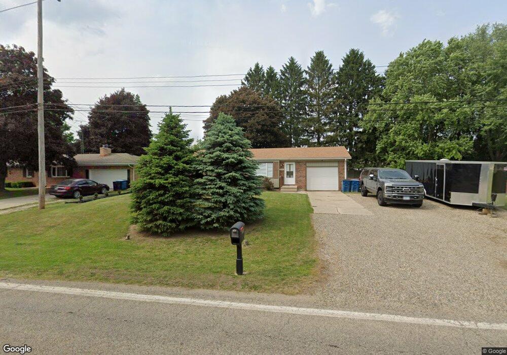
226 Knapp Dr Battle Creek, MI 49015
Minges Brook Riverside NeighborhoodEstimated Value: $163,000 - $202,664
3
Beds
2
Baths
1,180
Sq Ft
$158/Sq Ft
Est. Value
About This Home
This home is located at 226 Knapp Dr, Battle Creek, MI 49015 and is currently estimated at $186,416, approximately $157 per square foot. 226 Knapp Dr is a home located in Calhoun County with nearby schools including Lakeview Middle School, Lakeview High School, and Crosscreek Christian School.
Ownership History
Date
Name
Owned For
Owner Type
Purchase Details
Closed on
Dec 15, 2006
Sold by
Sherlin Mark and Sherlin Melody
Bought by
Deutsche Bank Trust Co and Argent Mortgage Securities Inc Asset Bac
Current Estimated Value
Purchase Details
Closed on
Mar 31, 2006
Sold by
Katz Gregory L and Katz Amy L
Bought by
Sherlin Mark and Sherlin Melody
Home Financials for this Owner
Home Financials are based on the most recent Mortgage that was taken out on this home.
Original Mortgage
$107,100
Interest Rate
9.52%
Mortgage Type
Fannie Mae Freddie Mac
Purchase Details
Closed on
Jan 13, 2006
Sold by
Katz Gregory L and Friel Amy L
Bought by
Chase Home Finance Llc
Purchase Details
Closed on
Mar 27, 2000
Sold by
Fedro Steven J and Fedro Karen L
Bought by
Friel Amy L and Friel Katz,Gregory L
Create a Home Valuation Report for This Property
The Home Valuation Report is an in-depth analysis detailing your home's value as well as a comparison with similar homes in the area
Home Values in the Area
Average Home Value in this Area
Purchase History
| Date | Buyer | Sale Price | Title Company |
|---|---|---|---|
| Deutsche Bank Trust Co | $113,106 | None Available | |
| Sherlin Mark | $119,000 | Devon Title Agency | |
| Chase Home Finance Llc | $88,596 | None Available | |
| Friel Amy L | $79,900 | -- |
Source: Public Records
Mortgage History
| Date | Status | Borrower | Loan Amount |
|---|---|---|---|
| Previous Owner | Sherlin Mark | $107,100 |
Source: Public Records
Tax History Compared to Growth
Tax History
| Year | Tax Paid | Tax Assessment Tax Assessment Total Assessment is a certain percentage of the fair market value that is determined by local assessors to be the total taxable value of land and additions on the property. | Land | Improvement |
|---|---|---|---|---|
| 2025 | -- | $85,400 | $0 | $0 |
| 2024 | $2,462 | $78,727 | $0 | $0 |
| 2023 | $3,140 | $67,374 | $0 | $0 |
| 2022 | $2,226 | $57,903 | $0 | $0 |
| 2021 | $3,039 | $53,360 | $0 | $0 |
| 2020 | $2,863 | $52,195 | $0 | $0 |
| 2019 | $2,875 | $51,864 | $0 | $0 |
| 2018 | $2,875 | $50,381 | $7,709 | $42,672 |
| 2017 | $2,800 | $47,931 | $0 | $0 |
| 2016 | $2,765 | $44,349 | $0 | $0 |
| 2015 | $2,744 | $42,184 | $7,860 | $34,324 |
| 2014 | $2,744 | $43,625 | $7,860 | $35,765 |
Source: Public Records
Map
Nearby Homes
- 118 Flora Ln
- 15 Timothy Ln
- 12800 Minges Rd S
- 292 W Hamilton Ln
- 4293 Beckley Rd
- 4281 Watkins Rd
- 4275 Watkins Rd
- 12740 Minges Rd S
- 219 W Hamilton Ln
- 117 Pheasant Run
- 29 Langley Rd E
- 220 Deer Path Ln
- 12601 Minges Rd S
- 33 Langley Rd E
- 211 Beckwith Dr
- 215 Beckwith Dr
- 244 Deer Path Ln
- 12441 Minges Rd S
- 68 Birch Hill Dr
- 168 Pheasant Run