226 Lowe Branch Rd Centerville, TN 37033
Estimated Value: $22,000 - $391,000
--
Bed
2
Baths
1,568
Sq Ft
$166/Sq Ft
Est. Value
About This Home
This home is located at 226 Lowe Branch Rd, Centerville, TN 37033 and is currently estimated at $260,637, approximately $166 per square foot. 226 Lowe Branch Rd is a home located in Hickman County with nearby schools including Centerville Elementary School, Centerville Intermediate School, and Hickman County Middle School.
Ownership History
Date
Name
Owned For
Owner Type
Purchase Details
Closed on
Mar 28, 2025
Sold by
Seal Alois Benjamin and Seal Tanya
Bought by
Oguin Derrick Anthony
Current Estimated Value
Purchase Details
Closed on
Mar 3, 2009
Sold by
Oguin Valerie Renee
Bought by
Oguin Derrick Anthony
Home Financials for this Owner
Home Financials are based on the most recent Mortgage that was taken out on this home.
Original Mortgage
$110,000
Interest Rate
5.14%
Mortgage Type
Cash
Create a Home Valuation Report for This Property
The Home Valuation Report is an in-depth analysis detailing your home's value as well as a comparison with similar homes in the area
Home Values in the Area
Average Home Value in this Area
Purchase History
| Date | Buyer | Sale Price | Title Company |
|---|---|---|---|
| Oguin Derrick Anthony | $22,500 | None Listed On Document | |
| Oguin Derrick Anthony | $22,500 | None Listed On Document | |
| Oguin Derrick Anthony | -- | -- |
Source: Public Records
Mortgage History
| Date | Status | Borrower | Loan Amount |
|---|---|---|---|
| Previous Owner | Oguin Derrick Anthony | $110,000 | |
| Previous Owner | Oguin Derrick Anthony | $27,000 |
Source: Public Records
Tax History Compared to Growth
Tax History
| Year | Tax Paid | Tax Assessment Tax Assessment Total Assessment is a certain percentage of the fair market value that is determined by local assessors to be the total taxable value of land and additions on the property. | Land | Improvement |
|---|---|---|---|---|
| 2025 | $1,632 | $41,375 | -- | -- |
| 2024 | $965 | $41,375 | -- | -- |
| 2023 | $965 | $41,375 | $0 | $0 |
| 2022 | $965 | $41,375 | $0 | $0 |
| 2021 | $1,059 | $37,825 | $0 | $0 |
| 2020 | $1,059 | $37,825 | $0 | $0 |
| 2019 | $1,071 | $37,825 | $0 | $0 |
| 2018 | $1,059 | $37,825 | $0 | $0 |
| 2017 | $1,085 | $36,900 | $0 | $0 |
| 2016 | $1,085 | $36,900 | $0 | $0 |
| 2014 | $937 | $36,903 | $0 | $0 |
Source: Public Records
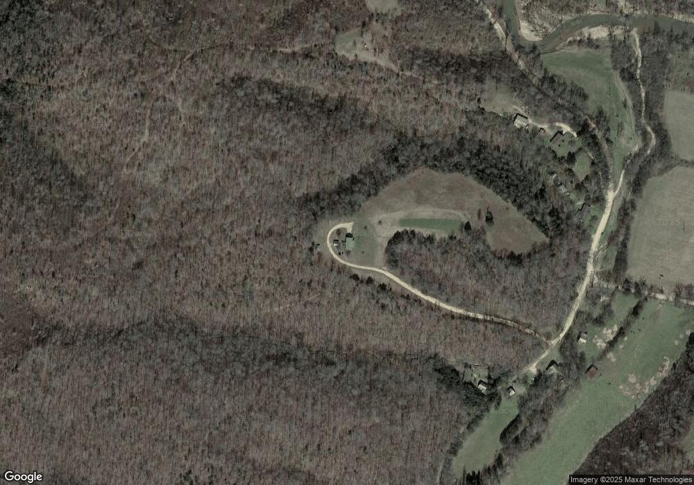
Map
Nearby Homes
- 450 Lowe Branch Rd
- 3840 E Beaverdam Rd
- 920 Mason Bates Bend Rd
- 929 Mason Bates Bend Rd
- 3383 Coble To Only Rd
- 0 Sulphur Creek Rd Unit RTC2652970
- 168 Three Springs Rd
- 7024 Taylor Creek Loop
- 9060 Cude Cemetery Rd
- 0 Highway 438 Unit RTC2814932
- 0 Tbd Only Rd
- 1320 Highway 230w
- 1267 Wades Branch Rd
- 3924 Only Rd
- 0 Old Richmond Rd Unit 24766753
- 0 Old Richmond Rd Unit RTC2995190
- 0 Old Richmond Rd Unit RTC2823303
- 1342 Russell Creek Rd
- 1369 Tanner Hollow Rd
- 3380 Johnson Rd W
- 248 Lowe Branch Rd
- 227 O Guin Rd
- 229 Lowe Branch Rd
- 280 Sulphur Creek Rd
- 275 Sulphur Creek Rd
- 763 Tennessee 438
- 763 Highway 438
- 533 Lowe Branch Rd
- 739 Highway 438
- 769 Coble Trail
- 803 Highway 438
- 532 Coble Rd
- 772 Highway 438
- 808 Highway 438
- 708 Highway 438
- 945 Highway 438
- 823 Highway 50
- 516 Sulphur Creek Rd
- 516 Coble Rd