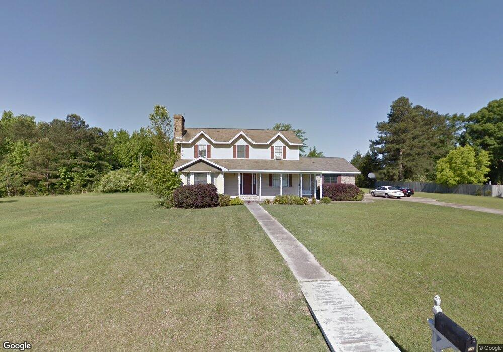
226 Mckay Dr Columbus, MS 39702
Estimated Value: $202,000 - $377,000
--
Bed
--
Bath
2,540
Sq Ft
$111/Sq Ft
Est. Value
About This Home
This home is located at 226 Mckay Dr, Columbus, MS 39702 and is currently estimated at $283,104, approximately $111 per square foot. 226 Mckay Dr is a home.
Ownership History
Date
Name
Owned For
Owner Type
Purchase Details
Closed on
Jun 19, 2017
Sold by
Ferguson William
Bought by
Tiffany Christopher and Tiffany Bambi
Current Estimated Value
Home Financials for this Owner
Home Financials are based on the most recent Mortgage that was taken out on this home.
Original Mortgage
$186,558
Outstanding Balance
$155,050
Interest Rate
3.99%
Mortgage Type
FHA
Estimated Equity
$128,054
Purchase Details
Closed on
Oct 3, 2016
Sold by
Secretary Veterans Affairs
Bought by
Smith Thomas Michael
Purchase Details
Closed on
Apr 8, 2008
Sold by
Southern Forest Timber Company Llc
Bought by
Odonnell William J
Create a Home Valuation Report for This Property
The Home Valuation Report is an in-depth analysis detailing your home's value as well as a comparison with similar homes in the area
Home Values in the Area
Average Home Value in this Area
Purchase History
| Date | Buyer | Sale Price | Title Company |
|---|---|---|---|
| Tiffany Christopher | -- | None Available | |
| Smith Thomas Michael | $116,000 | None Available | |
| Odonnell William J | -- | -- |
Source: Public Records
Mortgage History
| Date | Status | Borrower | Loan Amount |
|---|---|---|---|
| Open | Tiffany Christopher | $186,558 | |
| Previous Owner | Odonnell William J | $184,691 |
Source: Public Records
Tax History Compared to Growth
Tax History
| Year | Tax Paid | Tax Assessment Tax Assessment Total Assessment is a certain percentage of the fair market value that is determined by local assessors to be the total taxable value of land and additions on the property. | Land | Improvement |
|---|---|---|---|---|
| 2024 | $2,704 | $27,863 | $0 | $0 |
| 2023 | $2,316 | $23,964 | $0 | $0 |
| 2022 | $1,184 | $15,349 | $0 | $0 |
| 2021 | $1,129 | $15,349 | $0 | $0 |
| 2020 | $1,051 | $15,349 | $0 | $0 |
| 2019 | $1,081 | $15,284 | $0 | $0 |
| 2018 | $1,081 | $15,223 | $0 | $0 |
| 2017 | $1,636 | $18,968 | $0 | $0 |
| 2016 | $1,636 | $18,863 | $0 | $0 |
| 2015 | $1,701 | $19,617 | $0 | $0 |
| 2014 | $1,890 | $21,797 | $0 | $0 |
Source: Public Records
Map
Nearby Homes
- 0 Mckay Dr
- 229 Mason Dr W
- 11 Mckay Dr
- 394 Woodridge Place
- 100 Freeman Dr
- 207 Daisy Dr
- 304 Timber Creek Dr
- 102 Livingston Ln
- 338 Rogers Way
- Lot 3 Lost Lake Hills Rd
- 0 Lost Lake Hills Rd
- 191 E Swoope Dr
- 187 Jones Dr
- 156 W Swoope Dr
- 40 Mallard Dr
- 406 Cedarcrest Dr
- 165 Widner Dr
- 0 0 Hwy 69 S
- Ms-69
- 477 Lake Lowndes Rd