Estimated Value: $389,633 - $427,000
3
Beds
2
Baths
1,485
Sq Ft
$272/Sq Ft
Est. Value
About This Home
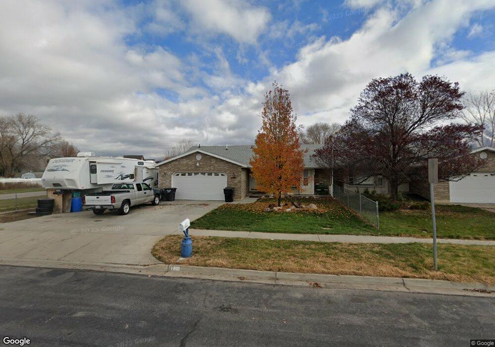
This home is located at 226 N Main St, Salem, UT 84653 and is currently estimated at $403,408, approximately $271 per square foot. 226 N Main St is a home located in Utah County with nearby schools including Salem Elementary, Salem Junior High School, and Valley View Middle School.
Ownership History
Date
Name
Owned For
Owner Type
Purchase Details
Closed on
Oct 30, 2015
Sold by
Holman Ren and J Frank Trust
Bought by
Carter Arvin B and Carter Jolena F
Current Estimated Value
Home Financials for this Owner
Home Financials are based on the most recent Mortgage that was taken out on this home.
Original Mortgage
$154,241
Outstanding Balance
$121,359
Interest Rate
3.8%
Mortgage Type
New Conventional
Estimated Equity
$282,049
Purchase Details
Closed on
Mar 27, 2006
Sold by
Frank Jeanette H
Bought by
Frank Jeanette H and Jeanette H Frank Trust
Purchase Details
Closed on
Sep 25, 2000
Sold by
Adams Richard Louis and Adams Naomi Fae Shepherd
Bought by
Frank Jeanette H
Purchase Details
Closed on
Oct 22, 1982
Sold by
Truex Helen
Bought by
Cundick Beryl R
Create a Home Valuation Report for This Property
The Home Valuation Report is an in-depth analysis detailing your home's value as well as a comparison with similar homes in the area
Home Values in the Area
Average Home Value in this Area
Purchase History
| Date | Buyer | Sale Price | Title Company |
|---|---|---|---|
| Carter Arvin B | -- | None Available | |
| Frank Jeanette H | -- | None Available | |
| Frank Jeanette H | -- | Pro Title & Escrow Inc | |
| Cundick Beryl R | -- | -- |
Source: Public Records
Mortgage History
| Date | Status | Borrower | Loan Amount |
|---|---|---|---|
| Open | Carter Arvin B | $154,241 |
Source: Public Records
Tax History Compared to Growth
Tax History
| Year | Tax Paid | Tax Assessment Tax Assessment Total Assessment is a certain percentage of the fair market value that is determined by local assessors to be the total taxable value of land and additions on the property. | Land | Improvement |
|---|---|---|---|---|
| 2025 | $1,998 | $383,000 | $72,800 | $310,200 |
| 2024 | $1,998 | $202,675 | $0 | $0 |
| 2023 | $2,156 | $219,065 | $0 | $0 |
| 2022 | $1,837 | $183,755 | $0 | $0 |
| 2021 | $1,520 | $243,900 | $67,500 | $176,400 |
| 2020 | $1,562 | $243,900 | $67,500 | $176,400 |
| 2019 | $1,473 | $235,000 | $67,500 | $167,500 |
| 2018 | $1,333 | $203,200 | $67,500 | $135,700 |
| 2017 | $1,320 | $107,305 | $0 | $0 |
| 2016 | $1,177 | $94,600 | $0 | $0 |
| 2015 | $1,136 | $89,650 | $0 | $0 |
| 2014 | $1,044 | $82,500 | $0 | $0 |
Source: Public Records
Map
Nearby Homes
- 432 E 300 N Unit 12
- 573 N 220 E
- 1166 N 360 E Unit 76
- 1165 N 360 E Unit 75
- 220 S Main St
- 16 W 650 N Unit 1
- 32 W 650 N Unit 2
- 52 W 650 N Unit 3
- 172 W 650 N
- 427 E 500 N Unit LOT 19
- 672 N 500 E Unit 115
- 846 E 400 St N
- 648 N 500 E Lot #112 E
- 644 N 500 E Unit 111
- 441 E 500 N Unit LOT 20
- 438 N 500 E Unit LOT 2
- 459 E 500 N Unit LOT 21
- 1473 S 50 E
- 1142 N 250 E Unit 81
- 1176 N 250 E Unit 71