226 Ridge Rd Hollis, NH 03049
Hollis NeighborhoodEstimated Value: $824,354 - $909,000
1
Bed
2
Baths
2,914
Sq Ft
$301/Sq Ft
Est. Value
About This Home
This home is located at 226 Ridge Rd, Hollis, NH 03049 and is currently estimated at $876,589, approximately $300 per square foot. 226 Ridge Rd is a home with nearby schools including Hollis Primary School, Hollis Upper Elementary School, and Hollis-Brookline Middle School.
Ownership History
Date
Name
Owned For
Owner Type
Purchase Details
Closed on
Jan 17, 2023
Sold by
Winkler Claudette L
Bought by
Winkler Ft
Current Estimated Value
Purchase Details
Closed on
Apr 27, 2021
Sold by
George R Winkler Ret
Bought by
Winkler George R and Winkler Claudette L
Purchase Details
Closed on
May 29, 2012
Sold by
Winkler George R and Winkler Claudette L
Bought by
George R Winkler Ret and Winkler George R
Purchase Details
Closed on
Jan 15, 1993
Bought by
George R Winkler Ret
Create a Home Valuation Report for This Property
The Home Valuation Report is an in-depth analysis detailing your home's value as well as a comparison with similar homes in the area
Home Values in the Area
Average Home Value in this Area
Purchase History
| Date | Buyer | Sale Price | Title Company |
|---|---|---|---|
| Winkler Ft | -- | None Available | |
| Winkler George R | -- | None Available | |
| George R Winkler Ret | -- | -- | |
| George R Winkler Ret | $320,000 | -- |
Source: Public Records
Tax History Compared to Growth
Tax History
| Year | Tax Paid | Tax Assessment Tax Assessment Total Assessment is a certain percentage of the fair market value that is determined by local assessors to be the total taxable value of land and additions on the property. | Land | Improvement |
|---|---|---|---|---|
| 2024 | $13,157 | $742,100 | $295,700 | $446,400 |
| 2023 | $12,363 | $742,100 | $295,700 | $446,400 |
| 2022 | $16,749 | $742,100 | $295,700 | $446,400 |
| 2021 | $10,306 | $454,000 | $197,200 | $256,800 |
| 2020 | $10,524 | $454,000 | $197,200 | $256,800 |
| 2019 | $10,487 | $454,000 | $197,200 | $256,800 |
| 2018 | $10,950 | $505,300 | $197,200 | $308,100 |
| 2017 | $6,154 | $394,900 | $161,700 | $233,200 |
| 2016 | $9,253 | $394,900 | $161,700 | $233,200 |
| 2015 | $9,091 | $394,900 | $161,700 | $233,200 |
| 2014 | $9,132 | $394,800 | $161,600 | $233,200 |
| 2013 | $9,009 | $394,800 | $161,600 | $233,200 |
Source: Public Records
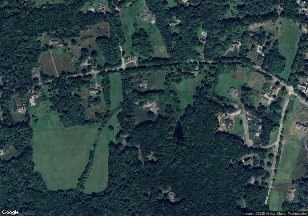
Map
Nearby Homes
- 112 Worcester Rd
- 229 Ridge Rd
- 234 Ridge Rd
- 102 Worcester Rd
- 115 Worcester Rd
- 255 Ridge Rd
- 136 2-8-1 Worcester Rd
- 136-2 Worcester Rd
- 2-5-1 Worcester Rd
- 122 Worcester Rd
- 12 Franklin Way
- 123 Worcester Rd
- 14 Franklin Way
- 14 Franklin Way
- 99 Worcester Rd
- 103 Worcester Rd
- 242 Ridge Rd
- 95 Worcester Rd
- 11 Franklins Way
- 11 Franklin Way