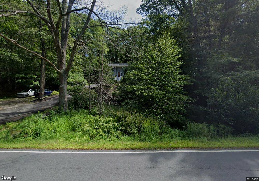
226 Route 103 York, ME 03909
York NeighborhoodEstimated Value: $675,000 - $905,000
3
Beds
2
Baths
2,115
Sq Ft
$360/Sq Ft
Est. Value
About This Home
This home is located at 226 Route 103, York, ME 03909 and is currently estimated at $762,324, approximately $360 per square foot. 226 Route 103 is a home located in York County with nearby schools including Village Elementary School, Coastal Ridge Elementary School, and York Middle School.
Ownership History
Date
Name
Owned For
Owner Type
Purchase Details
Closed on
Dec 1, 2023
Sold by
Hardy Nancy E and Thornton John P
Bought by
226 Route 103 Llc
Current Estimated Value
Purchase Details
Closed on
Apr 22, 2008
Sold by
Miller Adam J and Miller Nicole M
Bought by
Thornton John P and Hardy Nancy E
Home Financials for this Owner
Home Financials are based on the most recent Mortgage that was taken out on this home.
Original Mortgage
$150,000
Interest Rate
5.91%
Mortgage Type
Unknown
Create a Home Valuation Report for This Property
The Home Valuation Report is an in-depth analysis detailing your home's value as well as a comparison with similar homes in the area
Home Values in the Area
Average Home Value in this Area
Purchase History
| Date | Buyer | Sale Price | Title Company |
|---|---|---|---|
| 226 Route 103 Llc | -- | None Available | |
| 226 Route 103 Llc | -- | None Available | |
| Thornton John P | -- | -- | |
| Thornton John P | -- | -- |
Source: Public Records
Mortgage History
| Date | Status | Borrower | Loan Amount |
|---|---|---|---|
| Previous Owner | Thornton John P | $150,000 |
Source: Public Records
Tax History Compared to Growth
Tax History
| Year | Tax Paid | Tax Assessment Tax Assessment Total Assessment is a certain percentage of the fair market value that is determined by local assessors to be the total taxable value of land and additions on the property. | Land | Improvement |
|---|---|---|---|---|
| 2024 | $3,648 | $434,300 | $213,800 | $220,500 |
| 2023 | $3,248 | $384,400 | $163,900 | $220,500 |
| 2022 | $3,118 | $364,700 | $146,000 | $218,700 |
| 2021 | $2,990 | $300,500 | $117,500 | $183,000 |
| 2020 | $2,940 | $264,900 | $117,500 | $147,400 |
| 2019 | $2,647 | $237,400 | $91,400 | $146,000 |
| 2018 | $2,552 | $228,900 | $85,700 | $143,200 |
| 2017 | $2,462 | $224,800 | $85,700 | $139,100 |
| 2016 | $2,548 | $228,500 | $85,700 | $142,800 |
| 2015 | $2,420 | $220,000 | $85,700 | $134,300 |
| 2014 | $2,354 | $220,000 | $85,700 | $134,300 |
| 2013 | $2,295 | $220,000 | $85,700 | $134,300 |
Source: Public Records
Map
Nearby Homes
- 25 Brave Boat Harbor Rd
- 301 Route 103
- 357 Southside Rd
- 109 Bartlett Rd
- 18 Woodside Meadow Rd Unit 4
- 23 Harmon Park Rd
- 419 & 425 York St
- 3 Long Cove Rd
- 425 York St
- 60 Barrell Ln Unit 3
- 60 Barrell Ln Unit 1
- 3 Sentry Hill Rd
- 12 Washburn Farm Ln Unit 3
- 2 Woodside Meadow Rd
- 13 Washburn Farm Ln Unit 7
- 2 Washburn Farm Ln Unit 1
- 7 Washburn Farm Ln Unit 9
- 18 Washburn Farm Ln Unit 4
- 20 Washburn Farm Ln Unit 5
- 281 York St
- 216 Route 103
- 234 Route 103
- 2 Fern Hill
- 4 Fern Hill
- 59 Brave Boat Harbor Rd
- 62 Brave Boat Harbor Rd
- 53 Ledgewood Dr
- 55 Ledgewood Dr
- 4 Blackberry Ln
- 215 Route 103
- 58 Brave Boat Harbor Rd
- 56 Ledgewood Dr
- 47 Brave Boat Harbor Rd
- 47 Brave Boat Harbor Rd
- 47 Brave Boat Harbor Rd Unit Lot7A
- 69 Brave Boat Harbor Rd
- 54 Brave Boat Harbor Rd
- 50 Ledgewood Dr
- 213 Brave Boat Harbor Rd
- 54 Ledgewood Dr