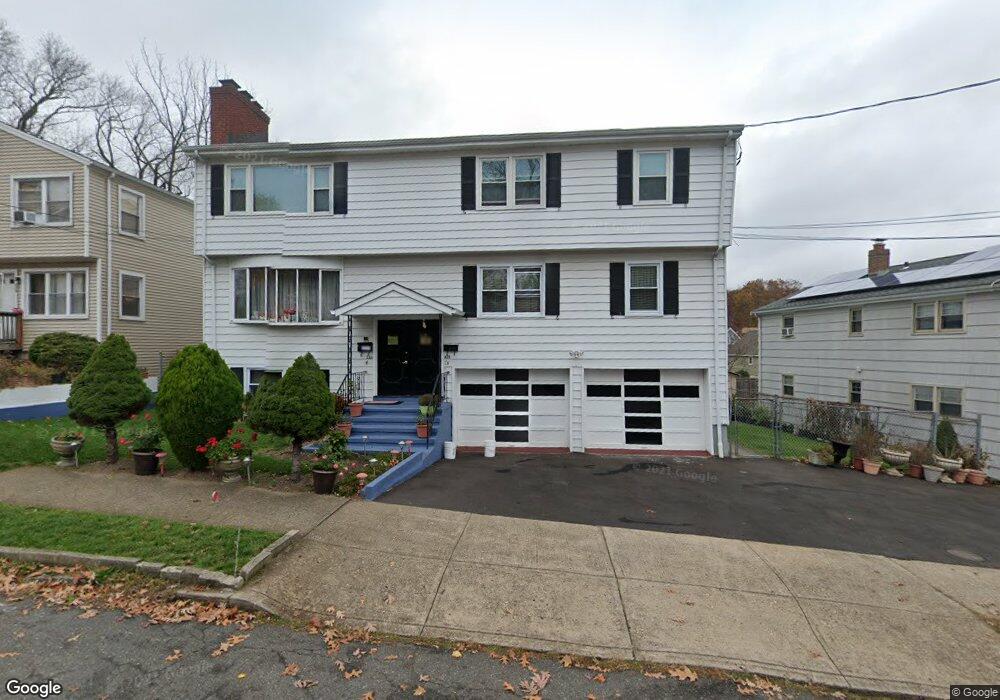
226 Ruth St Bridgeport, CT 06606
North End NeighborhoodEstimated Value: $534,532 - $676,000
3
Beds
2
Baths
1,000
Sq Ft
$607/Sq Ft
Est. Value
About This Home
This home is located at 226 Ruth St, Bridgeport, CT 06606 and is currently estimated at $606,633, approximately $606 per square foot. 226 Ruth St is a home located in Fairfield County with nearby schools including Blackham School, Central High School, and St Andrew School.
Ownership History
Date
Name
Owned For
Owner Type
Purchase Details
Closed on
Sep 11, 2000
Sold by
Testani Kathleen and Testani Mario
Bought by
Gordon Zenia and Gordon Collin
Current Estimated Value
Home Financials for this Owner
Home Financials are based on the most recent Mortgage that was taken out on this home.
Original Mortgage
$239,878
Interest Rate
8.1%
Create a Home Valuation Report for This Property
The Home Valuation Report is an in-depth analysis detailing your home's value as well as a comparison with similar homes in the area
Home Values in the Area
Average Home Value in this Area
Purchase History
| Date | Buyer | Sale Price | Title Company |
|---|---|---|---|
| Gordon Zenia | $240,000 | -- | |
| Gordon Zenia | $240,000 | -- |
Source: Public Records
Mortgage History
| Date | Status | Borrower | Loan Amount |
|---|---|---|---|
| Open | Gordon Zenia | $259,813 | |
| Closed | Gordon Zenia | $239,878 |
Source: Public Records
Tax History Compared to Growth
Tax History
| Year | Tax Paid | Tax Assessment Tax Assessment Total Assessment is a certain percentage of the fair market value that is determined by local assessors to be the total taxable value of land and additions on the property. | Land | Improvement |
|---|---|---|---|---|
| 2025 | $10,281 | $236,610 | $77,040 | $159,570 |
| 2024 | $10,281 | $236,610 | $77,040 | $159,570 |
| 2023 | $10,281 | $236,610 | $77,040 | $159,570 |
| 2022 | $10,281 | $236,610 | $77,040 | $159,570 |
| 2021 | $10,281 | $236,610 | $77,040 | $159,570 |
| 2020 | $9,582 | $177,470 | $44,260 | $133,210 |
| 2019 | $9,582 | $177,470 | $44,260 | $133,210 |
| 2018 | $9,649 | $177,470 | $44,260 | $133,210 |
| 2017 | $9,649 | $177,470 | $44,260 | $133,210 |
| 2016 | $9,649 | $177,470 | $44,260 | $133,210 |
| 2015 | $9,367 | $221,960 | $51,140 | $170,820 |
| 2014 | $9,577 | $226,940 | $51,140 | $175,800 |
Source: Public Records
Map
Nearby Homes
- 339 Goldenrod Ave
- 375 Ruth St
- 184 Merritt St
- 214 Burnsford Ave
- 1095 Wayne St
- 245 Glendale Ave Unit D8
- 38 Enid St Unit B
- 260 Birmingham St
- 495 Peet St
- 604 Birmingham St
- 605 Merritt St
- 200 Woodmont Ave Unit 100
- 81 Ameridge Dr
- 113 Clark St
- 333 Vincellette St Unit 109
- 288 Sunrise Terrace
- 215 Overland Ave
- 720 Queen St
- 490 Woodside Ave
- 2346 Madison Ave
- 226 Ruth St Unit 2nd
- 228 Ruth St
- 238 Ruth St Unit 242
- 214 Ruth St
- 206 Ruth St
- 208 Ruth St Unit 1
- 208 Ruth St Unit 3
- 208 Ruth St Unit 2
- 208 Ruth St
- 246 Ruth St
- 311 Goldenrod Ave
- 198 Ruth St
- 200 Ruth St Unit 2
- 200 Ruth St
- 256 Ruth St
- 325 Goldenrod Ave
- 215 Ruth St
- 235 Ruth St
- 255 Ruth St
- 287 Goldenrod Ave