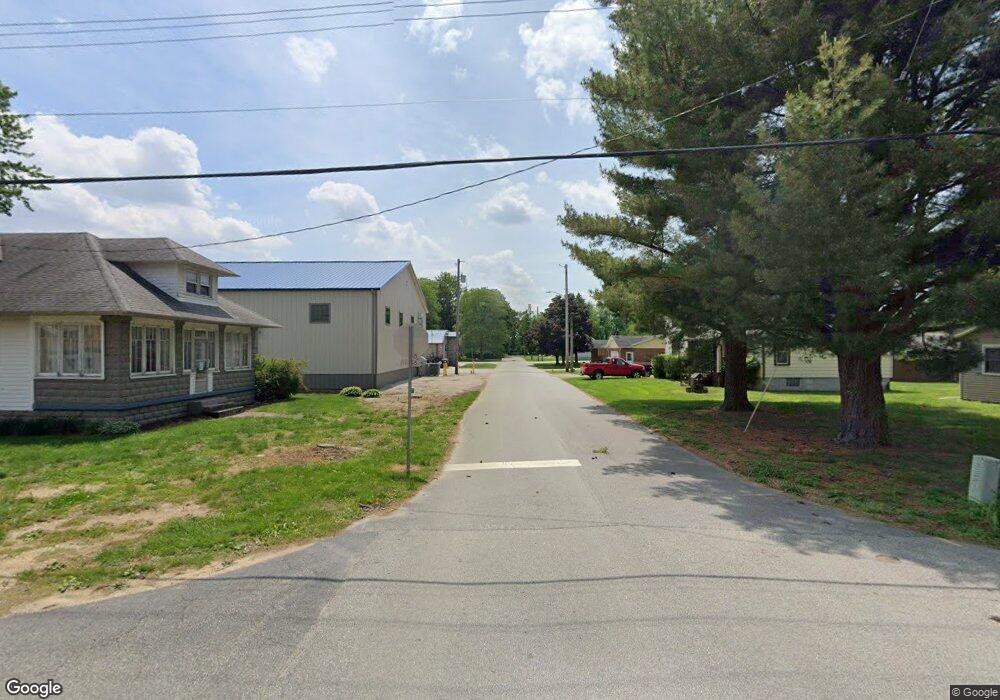
226 S Maple St Kouts, IN 46347
Porter County NeighborhoodEstimated Value: $164,000 - $226,000
2
Beds
1
Bath
1,211
Sq Ft
$168/Sq Ft
Est. Value
About This Home
This home is located at 226 S Maple St, Kouts, IN 46347 and is currently estimated at $203,107, approximately $167 per square foot. 226 S Maple St is a home located in Porter County with nearby schools including Kouts Elementary School, Kouts Middle/High School, and Midwest Academy.
Ownership History
Date
Name
Owned For
Owner Type
Purchase Details
Closed on
Aug 22, 2025
Sold by
Howard Tony
Bought by
Howard Tony J and Howard Lisa J
Current Estimated Value
Home Financials for this Owner
Home Financials are based on the most recent Mortgage that was taken out on this home.
Original Mortgage
$127,330
Outstanding Balance
$127,220
Interest Rate
6.75%
Mortgage Type
New Conventional
Estimated Equity
$75,887
Create a Home Valuation Report for This Property
The Home Valuation Report is an in-depth analysis detailing your home's value as well as a comparison with similar homes in the area
Home Values in the Area
Average Home Value in this Area
Purchase History
| Date | Buyer | Sale Price | Title Company |
|---|---|---|---|
| Howard Tony J | -- | Liberty Title | |
| Howard Tony J | -- | Liberty Title |
Source: Public Records
Mortgage History
| Date | Status | Borrower | Loan Amount |
|---|---|---|---|
| Open | Howard Tony J | $127,330 |
Source: Public Records
Tax History Compared to Growth
Tax History
| Year | Tax Paid | Tax Assessment Tax Assessment Total Assessment is a certain percentage of the fair market value that is determined by local assessors to be the total taxable value of land and additions on the property. | Land | Improvement |
|---|---|---|---|---|
| 2024 | $936 | $142,700 | $25,200 | $117,500 |
| 2023 | $889 | $139,800 | $24,300 | $115,500 |
| 2022 | $862 | $128,800 | $24,300 | $104,500 |
| 2021 | $716 | $110,200 | $24,300 | $85,900 |
| 2020 | $668 | $107,200 | $21,300 | $85,900 |
| 2019 | $593 | $98,200 | $21,300 | $76,900 |
| 2018 | $516 | $92,200 | $21,300 | $70,900 |
| 2017 | $523 | $94,200 | $21,300 | $72,900 |
| 2016 | $523 | $94,100 | $25,400 | $68,700 |
| 2014 | $557 | $91,800 | $25,000 | $66,800 |
| 2013 | -- | $90,000 | $26,000 | $64,000 |
Source: Public Records
Map
Nearby Homes
- 201 Will St
- 0 Vanessa Way Unit GNR544729
- 0 Sharyn St Unit GNR544743
- 0 Sharyn St Unit GNR544737
- 0 Sharyn St Unit GNR544741
- 403 N Main St
- 407 Mckinley St
- 501 W Elizabeth St
- 408 Coyote Trail
- 304 Shady Ln
- 209 E Ross Ave
- 305 Shady Ln
- 702 W Jefferson St
- 406 S Pleasant Dr
- 0-Lot B4-5 St Road 8
- 0-Lot B6-7 State Road 8
- 0-B1-3 State Road 8
- 156 Lee Dr
- 1 E Jeflynn Ct
- 81 E 1050 S
- 105 Railroad St
- 201 Railroad St
- 209 S Maple St
- 203 Railroad St
- 217 S Main St
- 206 S Maple St
- 215 S Main St
- 209 S Main St
- 209 S Main St Unit 2a
- 209 S Main St Unit 2C
- 209-11 S Main St
- 205 S Maple St
- 207 S Main St
- 209-11 N Main St
- 209 N Main St
- 209 N Main St
- 211 S Main St
- 104 Railroad St
- 202 Railroad St
- 207 W Mentor St
