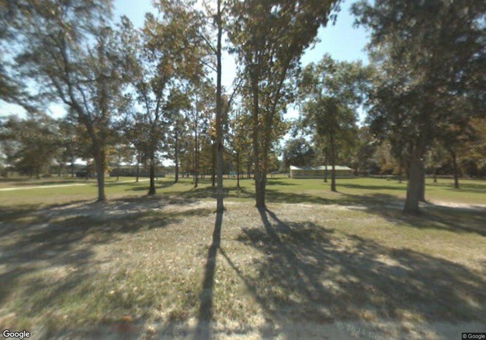
226 SW Hastings Way Lake City, FL 32024
Estimated Value: $296,000 - $372,390
3
Beds
2
Baths
1,680
Sq Ft
$196/Sq Ft
Est. Value
About This Home
This home is located at 226 SW Hastings Way, Lake City, FL 32024 and is currently estimated at $328,463, approximately $195 per square foot. 226 SW Hastings Way is a home located in Columbia County with nearby schools including Pinemount Elementary School, Lake City Middle School, and Columbia High School.
Ownership History
Date
Name
Owned For
Owner Type
Purchase Details
Closed on
Feb 11, 2016
Sold by
Flatt Janice L
Bought by
Norris Ronnie W and Norris Toni M
Current Estimated Value
Purchase Details
Closed on
Jan 28, 2002
Sold by
Flatt Janice L and Perry Lee R
Bought by
Norris Ronnie W and Norris Toni M
Home Financials for this Owner
Home Financials are based on the most recent Mortgage that was taken out on this home.
Original Mortgage
$111,150
Interest Rate
7.14%
Mortgage Type
Purchase Money Mortgage
Create a Home Valuation Report for This Property
The Home Valuation Report is an in-depth analysis detailing your home's value as well as a comparison with similar homes in the area
Home Values in the Area
Average Home Value in this Area
Purchase History
| Date | Buyer | Sale Price | Title Company |
|---|---|---|---|
| Norris Ronnie W | -- | None Available | |
| Norris Ronnie W | $43,600 | -- |
Source: Public Records
Mortgage History
| Date | Status | Borrower | Loan Amount |
|---|---|---|---|
| Previous Owner | Norris Ronnie W | $111,150 |
Source: Public Records
Tax History Compared to Growth
Tax History
| Year | Tax Paid | Tax Assessment Tax Assessment Total Assessment is a certain percentage of the fair market value that is determined by local assessors to be the total taxable value of land and additions on the property. | Land | Improvement |
|---|---|---|---|---|
| 2024 | $1,434 | $121,568 | -- | -- |
| 2023 | $1,434 | $109,827 | $16,658 | $93,169 |
| 2022 | $1,384 | $106,735 | $0 | $0 |
| 2021 | $1,319 | $103,599 | $0 | $0 |
| 2020 | $1,051 | $97,227 | $11,546 | $85,681 |
| 2019 | $1,269 | $95,087 | $11,520 | $83,567 |
| 2018 | $1,260 | $93,374 | $0 | $0 |
| 2017 | $1,238 | $91,452 | $10,696 | $80,756 |
| 2016 | $1,245 | $90,596 | $10,630 | $79,966 |
| 2015 | $1,257 | $89,364 | $0 | $0 |
| 2014 | $1,247 | $88,633 | $0 | $0 |
Source: Public Records
Map
Nearby Homes
- 000 SW Blanton Ln
- 828 SW Blanton Ln
- 16825 27th Place
- 334 SW Starlight Ct
- 3199 168th St
- 0 172nd St
- 3897 SW Pinemount Rd
- 146 SW Segrest Way
- 3713 SW Pinemount Rd
- 2054 SW Salem Rd
- 3656 Pinemount Rd
- 7109 SW County Road 242
- 3725 172nd St
- 8160 SW County Road 242
- 15063 29th Rd
- 379 SW Mollie Terrace
- 0 SW Mayo Rd
- 214 SW Leonard Terrace
- 16226 41st Place
- 3949 184th St
- 278 SW Satellite Ln
- 206 SW Satellite Ln
- 178 SW Hastings Way
- 828 SW Godbold Ave
- 2603 SW Brim St
- 734 SW Godbold Ave
- 166 Taylor
- 841 SW Godbold Ave
- 0 Satellite Ln Unit 121738
- 0 Satellite Ln Unit 121079
- 0 Satellite Ln Unit 109815
- 2650 SW Brim St
- 351 SW Satellite Ln
- 759 SW Godbold Ave
- 2653 SW Brim St
- 689 SW Godbold Ave
- 228 SW Taylor Glen
- 2405 SW Brim St
- 675 SW Blanton Ln
