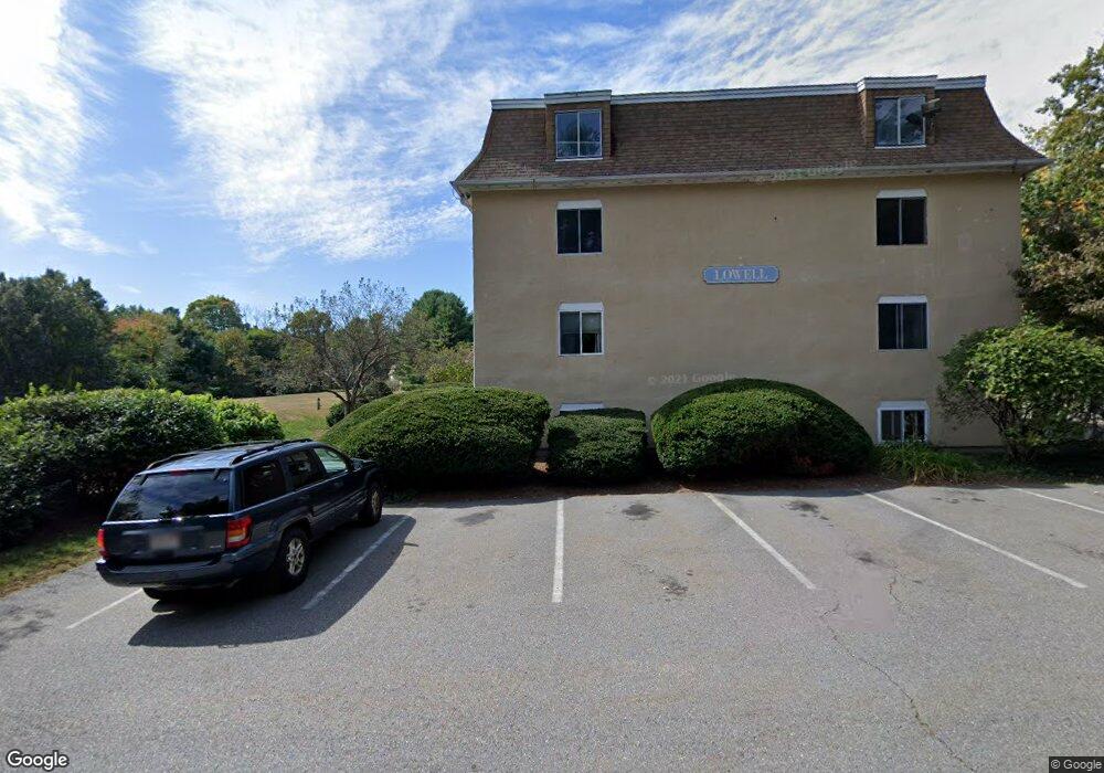
226 Swanson Rd Unit 619 Boxborough, MA 01719
Estimated Value: $162,000 - $235,146
1
Bed
1
Bath
494
Sq Ft
$398/Sq Ft
Est. Value
About This Home
This home is located at 226 Swanson Rd Unit 619, Boxborough, MA 01719 and is currently estimated at $196,382, approximately $397 per square foot. 226 Swanson Rd Unit 619 is a home located in Middlesex County with nearby schools including Acton-Boxborough Regional High School.
Ownership History
Date
Name
Owned For
Owner Type
Purchase Details
Closed on
Apr 15, 2004
Sold by
Rosati Linda M and Wachtler Linda M
Bought by
Buck Rosanne K
Current Estimated Value
Home Financials for this Owner
Home Financials are based on the most recent Mortgage that was taken out on this home.
Original Mortgage
$72,000
Outstanding Balance
$33,693
Interest Rate
5.58%
Mortgage Type
Purchase Money Mortgage
Estimated Equity
$162,689
Create a Home Valuation Report for This Property
The Home Valuation Report is an in-depth analysis detailing your home's value as well as a comparison with similar homes in the area
Home Values in the Area
Average Home Value in this Area
Purchase History
| Date | Buyer | Sale Price | Title Company |
|---|---|---|---|
| Buck Rosanne K | $84,000 | -- |
Source: Public Records
Mortgage History
| Date | Status | Borrower | Loan Amount |
|---|---|---|---|
| Open | Buck Rosanne K | $72,000 |
Source: Public Records
Tax History Compared to Growth
Tax History
| Year | Tax Paid | Tax Assessment Tax Assessment Total Assessment is a certain percentage of the fair market value that is determined by local assessors to be the total taxable value of land and additions on the property. | Land | Improvement |
|---|---|---|---|---|
| 2025 | $2,597 | $171,500 | $0 | $171,500 |
| 2024 | $2,051 | $136,800 | $0 | $136,800 |
| 2023 | $1,954 | $125,900 | $0 | $125,900 |
| 2022 | $1,881 | $108,000 | $0 | $108,000 |
| 2020 | $1,699 | $101,600 | $0 | $101,600 |
| 2019 | $1,433 | $87,300 | $0 | $87,300 |
| 2018 | $1,376 | $83,700 | $0 | $83,700 |
| 2017 | $1,192 | $70,900 | $0 | $70,900 |
| 2016 | $1,027 | $62,800 | $0 | $62,800 |
| 2015 | $916 | $55,000 | $0 | $55,000 |
| 2014 | $991 | $56,000 | $0 | $56,000 |
Source: Public Records
Map
Nearby Homes
- 220 Swanson Rd Unit 605
- 220 Swanson Rd Unit 606
- 176 Swanson Rd Unit 309
- 42 Swanson Ct Unit 14A
- 53 Swanson Ct Unit 36C
- 50 Spencer Rd Unit 36
- 58 Spencer Rd Unit 18K
- 310 Codman Hill Rd Unit 35D
- 89 School House Ln
- 1155 Burroughs Rd
- 139 Picnic St
- 166 Littleton Rd Unit 3
- 24 Fairbanks St
- 4 Bolton Rd
- 11 Fairbanks St Unit 2
- 5 Fairbank St
- 63 Leonard Rd Unit 63
- 777 Depot Rd
- 332 Old Littleton Rd
- 62 Waite Rd
- 232 Swanson Rd Unit 636
- 232 Swanson Rd Unit 634
- 232 Swanson Rd Unit 633
- 232 Swanson Rd Unit 632
- 232 Swanson Rd Unit 631
- 232 Swanson Rd Unit 630
- 232 Swanson Rd Unit 629
- 232 Swanson Rd Unit 628
- 232 Swanson Rd Unit 627
- 232 Swanson Rd Unit 626
- 232 Swanson Rd Unit 625
- 226 Swanson Rd Unit 624
- 226 Swanson Rd Unit 623
- 226 Swanson Rd Unit 622
- 226 Swanson Rd Unit 621
- 226 Swanson Rd Unit 620
- 226 Swanson Rd Unit 618
- 226 Swanson Rd Unit 617
- 226 Swanson Rd Unit 616
- 226 Swanson Rd Unit 615