226 Trask Side Rd Alton Bay, NH 03810
Estimated Value: $427,466 - $1,043,000
1
Bed
1
Bath
939
Sq Ft
$718/Sq Ft
Est. Value
About This Home
This home is located at 226 Trask Side Rd, Alton Bay, NH 03810 and is currently estimated at $674,489, approximately $718 per square foot. 226 Trask Side Rd is a home with nearby schools including Alton Central School (Elem) and Prospect Mountain High School.
Ownership History
Date
Name
Owned For
Owner Type
Purchase Details
Closed on
Sep 3, 2015
Sold by
Irving Donald R and Irving Karen A
Bought by
Karen A Irving T
Current Estimated Value
Purchase Details
Closed on
Oct 30, 2001
Sold by
Thayer Ft
Bought by
Irving Donald R and Irving Karen A
Home Financials for this Owner
Home Financials are based on the most recent Mortgage that was taken out on this home.
Original Mortgage
$420,000
Interest Rate
6.86%
Create a Home Valuation Report for This Property
The Home Valuation Report is an in-depth analysis detailing your home's value as well as a comparison with similar homes in the area
Home Values in the Area
Average Home Value in this Area
Purchase History
| Date | Buyer | Sale Price | Title Company |
|---|---|---|---|
| Karen A Irving T | -- | -- | |
| Irving Donald R | $550,000 | -- |
Source: Public Records
Mortgage History
| Date | Status | Borrower | Loan Amount |
|---|---|---|---|
| Previous Owner | Irving Donald R | $420,000 |
Source: Public Records
Tax History Compared to Growth
Tax History
| Year | Tax Paid | Tax Assessment Tax Assessment Total Assessment is a certain percentage of the fair market value that is determined by local assessors to be the total taxable value of land and additions on the property. | Land | Improvement |
|---|---|---|---|---|
| 2024 | $2,684 | $206,800 | $77,200 | $129,600 |
| 2022 | $2,351 | $206,800 | $77,200 | $129,600 |
| 2021 | $2,353 | $206,800 | $77,200 | $129,600 |
| 2020 | $4,103 | $101,600 | $43,300 | $58,300 |
| 2019 | $1,271 | $101,600 | $43,300 | $58,300 |
| 2018 | $1,366 | $101,600 | $43,300 | $58,300 |
| 2017 | $1,307 | $101,600 | $43,300 | $58,300 |
| 2016 | $1,438 | $101,600 | $43,300 | $58,300 |
| 2015 | $689 | $48,300 | $43,300 | $5,000 |
| 2014 | $517 | $37,300 | $32,300 | $5,000 |
| 2013 | $413 | $30,700 | $30,700 | $0 |
Source: Public Records
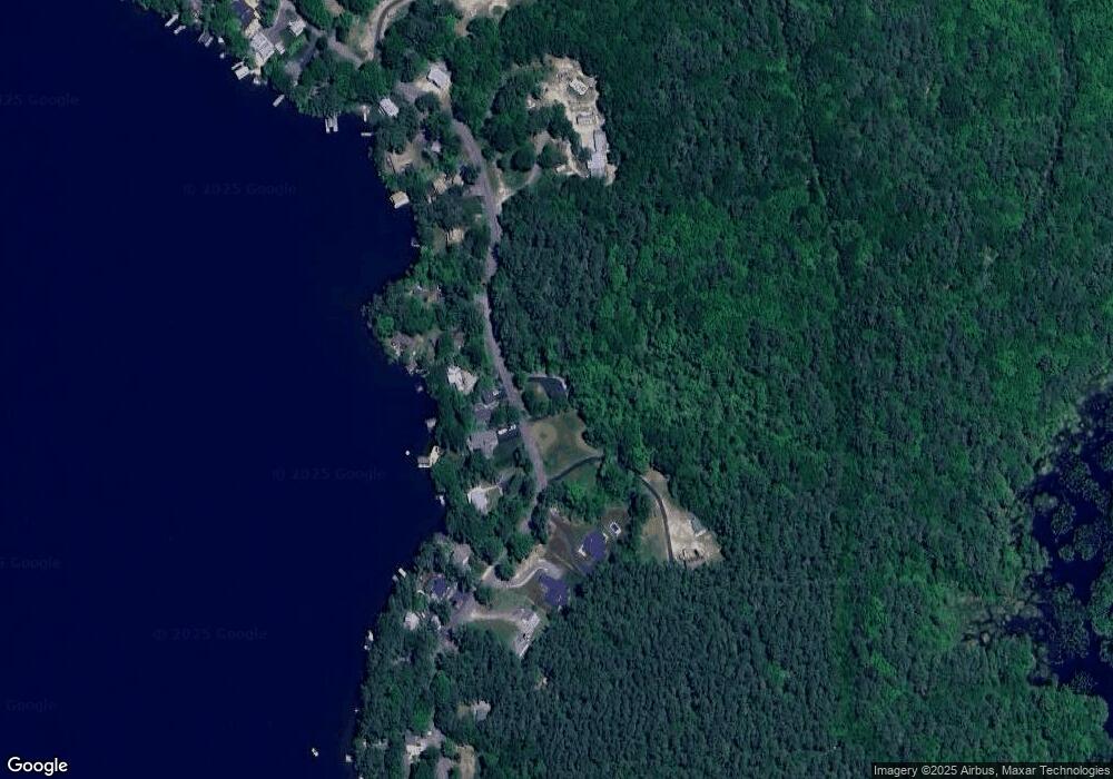
Map
Nearby Homes
- 141 Fort Point Rd
- 204 Route 11-D
- 581 E Side Dr
- 378 Sleeper Island
- Lot 14 Black Point Rd
- Lot 13 Jaytee Dr
- 728 E Side Dr
- 80 Scott Dr
- 74 Jesus Valley Rd
- Lot 5-2-1 Jesus Valley Rd
- Lots 134-135 Wendy Dr
- 90 Jesus Valley Rd
- 729 Old Wolfeboro Rd
- 25 Georges Rd
- 21 Richardson Dr
- 241 Mount Major Hwy
- 104 Roberts Cove Rd
- 72 Timber Ridge Rd
- 135 Alton Mountain Rd
- 25 Clay Point Rd
- 225 Trask Side Rd
- 227 Trask Side Rd
- 223 Trask Side Rd
- 823D Trask Side Rd
- Lot #29 Trask Side Rd
- Lot #28 Trask Side Rd
- 235 Trask Side Rd
- 208 Trask Side Rd
- 237 Trask Side Rd
- 241 Trask Side Rd
- 206 Trask Side Rd
- 205 Trask Side Rd
- 203 Trask Side Rd
- 246 Trask Side Rd
- 202 Trask Side Rd
- 249 Trask Side Rd
- 199 Trask Side Rd
- 268 Trask Side Rd
- 270 Trask Side Rd
- 257 Trask Side Rd