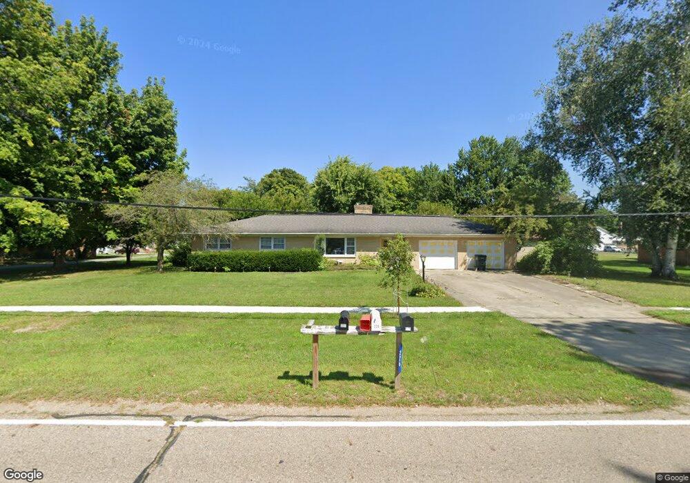
226 W Jackson Dr Tekonsha, MI 49092
Estimated Value: $173,000 - $232,022
3
Beds
2
Baths
2,356
Sq Ft
$89/Sq Ft
Est. Value
About This Home
This home is located at 226 W Jackson Dr, Tekonsha, MI 49092 and is currently estimated at $209,006, approximately $88 per square foot. 226 W Jackson Dr is a home located in Calhoun County with nearby schools including Tekonsha High School.
Ownership History
Date
Name
Owned For
Owner Type
Purchase Details
Closed on
Apr 5, 2011
Sold by
Miller Max J and Miller Ruth A
Bought by
Alexander Roxanne
Current Estimated Value
Purchase Details
Closed on
Jul 10, 2006
Sold by
Foley Donald L and Foley Patricia J
Bought by
Miller Max J and Miller Ruth A
Home Financials for this Owner
Home Financials are based on the most recent Mortgage that was taken out on this home.
Original Mortgage
$114,400
Interest Rate
6.72%
Mortgage Type
Purchase Money Mortgage
Purchase Details
Closed on
Aug 2, 2004
Sold by
Johnson Ronald L and Johnson Mercedes M
Bought by
Foley Donald L and Foley Patricia J
Create a Home Valuation Report for This Property
The Home Valuation Report is an in-depth analysis detailing your home's value as well as a comparison with similar homes in the area
Home Values in the Area
Average Home Value in this Area
Purchase History
| Date | Buyer | Sale Price | Title Company |
|---|---|---|---|
| Alexander Roxanne | $121,500 | Dba Ppr Title Agency | |
| Miller Max J | $143,000 | Chicago Title Co | |
| Foley Donald L | $125,000 | Chicago Title |
Source: Public Records
Mortgage History
| Date | Status | Borrower | Loan Amount |
|---|---|---|---|
| Previous Owner | Miller Max J | $114,400 |
Source: Public Records
Tax History Compared to Growth
Tax History
| Year | Tax Paid | Tax Assessment Tax Assessment Total Assessment is a certain percentage of the fair market value that is determined by local assessors to be the total taxable value of land and additions on the property. | Land | Improvement |
|---|---|---|---|---|
| 2025 | $2,116 | $102,450 | $0 | $0 |
| 2024 | $1,837 | $99,200 | $0 | $0 |
| 2023 | $1,863 | $84,650 | $0 | $0 |
| 2022 | $1,667 | $73,150 | $0 | $0 |
| 2021 | $1,809 | $67,400 | $0 | $0 |
| 2020 | $2,471 | $67,050 | $0 | $0 |
| 2019 | $0 | $66,900 | $0 | $0 |
| 2018 | $0 | $71,800 | $6,000 | $65,800 |
| 2017 | $0 | $56,600 | $0 | $0 |
| 2016 | $0 | $57,350 | $0 | $0 |
| 2015 | -- | $57,450 | $9,825 | $47,625 |
| 2014 | -- | $59,000 | $9,825 | $49,175 |
Source: Public Records
Map
Nearby Homes
- 207 N Main St
- 330 S Church St
- 703 N Church St
- 15277 Michigan 60
- 1246 Vincent Lake Ln
- 370 Kowalski Dr
- 1120 N Marshall Rd
- 381 E Leroy St
- 345 E Leroy St
- 435 E Girard Rd
- 325 E Leroy St
- 4600 11 Mile Rd
- 9999 N-Drive S
- 315 E Leroy St
- 107 W Girard Rd
- 970 Dean Rd
- 787 Doves Landing
- 106 Lyon Lake Rd
- 289 Lyon Lake Rd
- 141 W Union City Rd
- 101 N Church St
- 229 W Canal St
- 203 W Jackson Dr
- 215 W Jackson Dr
- 227 W Jackson Dr
- 303 W Jackson Dr
- 308 W Jackson Dr
- 135 N Washington St
- 206 W Canal St
- 200 W Canal St
- 328 W Jackson Dr
- 215 N Church St
- 333 W Canal St
- 203 N Washington St
- 327 W Jackson Dr
- 117 N Main St
- 121 N Main St
- 134 W Canal St
- 229 W North St
- 125 Catherine St