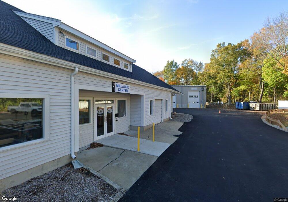
226 Water St Pembroke, MA 02359
Estimated Value: $784,842 - $899,000
4
Beds
2
Baths
2,048
Sq Ft
$419/Sq Ft
Est. Value
About This Home
This home is located at 226 Water St, Pembroke, MA 02359 and is currently estimated at $857,211, approximately $418 per square foot. 226 Water St is a home located in Plymouth County with nearby schools including Pembroke High School, Cadence Academy Preschool - Hanover, and Cardinal Cushing Centers.
Ownership History
Date
Name
Owned For
Owner Type
Purchase Details
Closed on
Mar 22, 2007
Sold by
Chapman Scott and Defranca Carol
Bought by
Chapman Scott and Defranca Carol
Current Estimated Value
Purchase Details
Closed on
Dec 3, 2002
Sold by
Mcmann Michael and Serode Michael
Bought by
Chapman Scott and Defranca Carol
Purchase Details
Closed on
Jun 26, 2000
Sold by
Parker David W and Parker Nazare M
Bought by
Serode Michael and Mcmann Michael
Purchase Details
Closed on
Apr 29, 1994
Sold by
Pfj Rt and Jackman Patrick F
Bought by
Parker David W and Parker Nazare M
Create a Home Valuation Report for This Property
The Home Valuation Report is an in-depth analysis detailing your home's value as well as a comparison with similar homes in the area
Home Values in the Area
Average Home Value in this Area
Purchase History
| Date | Buyer | Sale Price | Title Company |
|---|---|---|---|
| Chapman Scott | -- | -- | |
| Chapman Scott | $497,400 | -- | |
| Serode Michael | $295,000 | -- | |
| Parker David W | $193,000 | -- |
Source: Public Records
Mortgage History
| Date | Status | Borrower | Loan Amount |
|---|---|---|---|
| Previous Owner | Parker David W | $408,000 | |
| Previous Owner | Parker David W | $34,000 |
Source: Public Records
Tax History Compared to Growth
Tax History
| Year | Tax Paid | Tax Assessment Tax Assessment Total Assessment is a certain percentage of the fair market value that is determined by local assessors to be the total taxable value of land and additions on the property. | Land | Improvement |
|---|---|---|---|---|
| 2025 | $8,314 | $691,700 | $379,100 | $312,600 |
| 2024 | $8,227 | $683,900 | $373,900 | $310,000 |
| 2023 | $7,839 | $616,300 | $349,100 | $267,200 |
| 2022 | $7,392 | $522,400 | $285,700 | $236,700 |
| 2021 | $7,201 | $493,900 | $270,500 | $223,400 |
| 2020 | $7,096 | $489,700 | $270,500 | $219,200 |
| 2019 | $6,942 | $475,500 | $267,300 | $208,200 |
| 2018 | $6,739 | $452,600 | $262,500 | $190,100 |
| 2017 | $6,377 | $422,300 | $237,300 | $185,000 |
| 2016 | $6,107 | $400,200 | $217,300 | $182,900 |
| 2015 | $7,382 | $500,800 | $317,000 | $183,800 |
Source: Public Records
Map
Nearby Homes
- 218 Schoosett St
- 46 Lorna Ave
- 133 Brigantine Cir
- 55 Shipyard Ln
- 172 Washington St
- 261 Washington St
- 15 Kings Terrace
- 21 Union St
- 28 Old Shipyard Ln
- 21 Chowdermarch St
- 5 Royal Dane Dr Unit 46
- 20 Meadow Brook Rd
- 10 Royal Dane Dr Unit 88
- 33 Barker Square Dr Unit 33
- 31 Hillcrest Dr
- 66 Hemlock Dr
- 26 Church St
- 451 School St Unit 5-2
- 16 Broad Oak Way
- 15 Bagnell Dr Unit 15
- 212 Schoosett St
- 224 Schoosett St
- 204 Schoosett St
- 180 Schoosett St Unit B27
- 180 Schoosett St Unit 24
- 180 Schoosett St Unit 8
- 180 Schoosett St Unit 22,B
- 180 Schoosett St Unit 37
- 180 Schoosett St Unit 3
- 180 Schoosett St Unit 1
- 180 Schoosett St
- 180 Schoosett St Unit D-44
- 180 Schoosett St Unit A5
- 180 Schoosett St Unit 35,C
- 180 Schoosett St Unit 13,A
- 180 Schoosett St Unit 12 - A
- 180 Schoosett St Unit 3,A
- 180 Schoosett St Unit 27,B
- 180 Schoosett St Unit 10,A
- 180 Schoosett St Unit 43,D