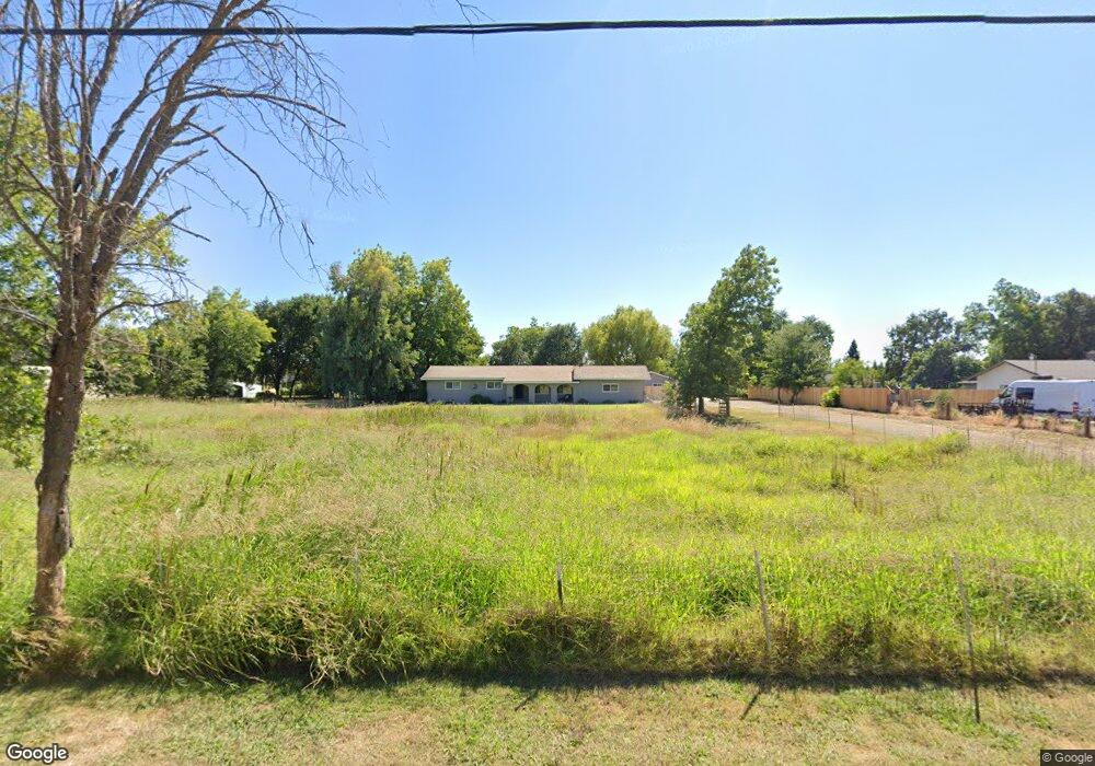
2260 Shady Ln Anderson, CA 96007
Balls Ferry Road NeighborhoodEstimated Value: $401,000 - $507,000
3
Beds
2
Baths
1,525
Sq Ft
$297/Sq Ft
Est. Value
About This Home
This home is located at 2260 Shady Ln, Anderson, CA 96007 and is currently estimated at $453,324, approximately $297 per square foot. 2260 Shady Ln is a home located in Shasta County with nearby schools including Meadow Lane Elementary School, Anderson Heights Elementary School, and Anderson Middle School.
Ownership History
Date
Name
Owned For
Owner Type
Purchase Details
Closed on
Nov 23, 2007
Sold by
Hopkins Debe
Bought by
Hopkins Debe
Current Estimated Value
Purchase Details
Closed on
Jan 8, 2007
Sold by
Oneal Claude F and Oneal Nora L
Bought by
Hopkins Debe L
Home Financials for this Owner
Home Financials are based on the most recent Mortgage that was taken out on this home.
Original Mortgage
$271,200
Outstanding Balance
$158,982
Interest Rate
5.87%
Mortgage Type
Unknown
Estimated Equity
$294,342
Purchase Details
Closed on
May 16, 2001
Sold by
Household Finance Corp Of Ca
Bought by
Oneal Claude F and Oneal Nora
Purchase Details
Closed on
Jan 2, 2001
Sold by
Oneal Claude F and Oneal Nora L
Bought by
Oneal Claude F and Oneal Nora L
Purchase Details
Closed on
Apr 14, 1997
Sold by
Oneal Claude F and Oneal Nora L
Bought by
Oneal Claude F and Oneal Nora L
Create a Home Valuation Report for This Property
The Home Valuation Report is an in-depth analysis detailing your home's value as well as a comparison with similar homes in the area
Home Values in the Area
Average Home Value in this Area
Purchase History
| Date | Buyer | Sale Price | Title Company |
|---|---|---|---|
| Hopkins Debe | -- | None Available | |
| Hopkins Debe L | $339,000 | Alliance Title Company | |
| Oneal Claude F | $72,000 | Placer Title Company | |
| Oneal Claude F | -- | -- | |
| Oneal Claude F | -- | -- |
Source: Public Records
Mortgage History
| Date | Status | Borrower | Loan Amount |
|---|---|---|---|
| Open | Hopkins Debe L | $271,200 |
Source: Public Records
Tax History
| Year | Tax Paid | Tax Assessment Tax Assessment Total Assessment is a certain percentage of the fair market value that is determined by local assessors to be the total taxable value of land and additions on the property. | Land | Improvement |
|---|---|---|---|---|
| 2025 | $4,453 | $425,000 | $75,000 | $350,000 |
| 2024 | $4,293 | $415,000 | $75,000 | $340,000 |
| 2023 | $4,293 | $400,000 | $75,000 | $325,000 |
| 2022 | $4,240 | $400,000 | $75,000 | $325,000 |
| 2021 | $3,641 | $340,000 | $75,000 | $265,000 |
| 2020 | $3,276 | $300,000 | $75,000 | $225,000 |
| 2019 | $3,031 | $285,000 | $75,000 | $210,000 |
| 2018 | $2,937 | $275,000 | $60,000 | $215,000 |
| 2017 | $2,676 | $245,000 | $55,000 | $190,000 |
| 2016 | $2,527 | $245,000 | $55,000 | $190,000 |
| 2015 | $2,307 | $220,000 | $55,000 | $165,000 |
| 2014 | $2,295 | $220,000 | $55,000 | $165,000 |
Source: Public Records
Map
Nearby Homes
- 2391 Shady Ln
- 2606 Sapphire Ln
- 2945 Silo Ct
- 2867 Pinto Ln
- 2705 Limestone Ct
- 2863 Sandstone Dr
- 3100 Driftstone Dr
- 21133 Ronald St
- 2740 Sandstone Dr
- 3055 Sharon Ave
- 2648 Tremonto Rd
- 2771 North St
- 2616 W Hillside Dr
- 15.79 Stingy Ln
- 0 Stingy Ln
- 3006 Joyce Dr
- 3008 Hazel Dr
- 3267 E Bailey Dr
- 3065 Silver St
- 1558 Jeffries St
- 2320 Shady Ln
- 2221 Shenandoah Dr
- 2225 Shenandoah Dr
- 2200 Shady Ln
- 2219 Shenandoah Dr
- 2231 Shenandoah Dr
- 2215 Shenandoah Dr
- 2237 Shenandoah Dr
- 2243 Shenandoah Dr
- 2211 Shenandoah Dr
- 2250 Shady Ln
- 2251 Shenandoah Dr
- 2220 Shenandoah Dr
- 2226 Shenandoah Dr
- 2232 Shenandoah Dr
- 2209 Shenandoah Dr
- 2214 Shenandoah Dr
- 2238 Shenandoah Dr
- 2253 Shenandoah Dr
- 2380 Shady Ln
Your Personal Tour Guide
Ask me questions while you tour the home.