22605 State Highway 58 N Decatur, TN 37322
Estimated Value: $335,000 - $621,000
--
Bed
2
Baths
1,736
Sq Ft
$266/Sq Ft
Est. Value
About This Home
This home is located at 22605 State Highway 58 N, Decatur, TN 37322 and is currently estimated at $461,935, approximately $266 per square foot. 22605 State Highway 58 N is a home located in Meigs County with nearby schools including Meigs County High School.
Ownership History
Date
Name
Owned For
Owner Type
Purchase Details
Closed on
May 14, 2018
Sold by
Henley Jackie A
Bought by
Henley Jackie A
Current Estimated Value
Purchase Details
Closed on
Aug 2, 1990
Bought by
Henley Jacky Glenn and Louise Mcgann
Purchase Details
Closed on
Nov 20, 1980
Bought by
Mcgann Glenn and Mcgann Louise
Purchase Details
Closed on
Jan 2, 1900
Create a Home Valuation Report for This Property
The Home Valuation Report is an in-depth analysis detailing your home's value as well as a comparison with similar homes in the area
Home Values in the Area
Average Home Value in this Area
Purchase History
| Date | Buyer | Sale Price | Title Company |
|---|---|---|---|
| Henley Jackie A | -- | -- | |
| Henley Jackie A | -- | -- | |
| Henley Jacky Glenn | -- | -- | |
| Henley Jacky Glenn | -- | -- | |
| Mcgann Glenn | -- | -- | |
| Mcgann Glenn | -- | -- | |
| -- | -- | -- |
Source: Public Records
Tax History Compared to Growth
Tax History
| Year | Tax Paid | Tax Assessment Tax Assessment Total Assessment is a certain percentage of the fair market value that is determined by local assessors to be the total taxable value of land and additions on the property. | Land | Improvement |
|---|---|---|---|---|
| 2025 | $1,158 | $68,575 | $0 | $0 |
| 2024 | $1,158 | $68,575 | $17,100 | $51,475 |
| 2023 | $1,158 | $58,775 | $15,275 | $43,500 |
| 2022 | $992 | $58,775 | $15,275 | $43,500 |
| 2021 | $992 | $58,775 | $15,275 | $43,500 |
| 2020 | $967 | $58,775 | $15,275 | $43,500 |
| 2019 | $967 | $48,825 | $12,025 | $36,800 |
| 2018 | $967 | $48,825 | $12,025 | $36,800 |
| 2017 | $959 | $48,425 | $11,625 | $36,800 |
| 2016 | $959 | $48,425 | $11,625 | $36,800 |
| 2015 | $907 | $48,425 | $11,625 | $36,800 |
| 2014 | $810 | $43,250 | $11,525 | $31,725 |
Source: Public Records
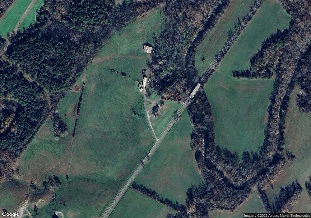
Map
Nearby Homes
- 0 Big Sewee Rd Unit 1314233
- 0 Big Sewee Rd Unit RTC2787064
- 0 Big Sewee Rd Unit 1506729
- 1240 Centerpoint Rd
- 0 Rd
- 0 Lot 11 Willie Prigmore Rd
- 0 Lot 7 Willie Prigmore Rd
- 0 Lot 6 Willie Prigmore Rd
- 0 Wiley Prigmore Ln
- 0 Lot 5 Willie Promore Rd
- 0 Prigmore Ridge Rd Unit 1314244
- 0 Prigmore Ridge Rd Unit 1310658
- 0 Prigmore Ridge Rd Unit 1310637
- 0 Prigmore Ridge Rd Unit 1310632
- 0 Prigmore Ridge Rd Unit 1310631
- 3650 River Rd
- 2476 Guinn Narrows Rd
- 5561 River Rd
- Lot 4 Espalier Dr
- Lot 72 Espalier Dr
- 23061 State Highway 58 N
- 178 Herd Rd
- 23067 State Highway 58 N
- 701 Centerpoint Rd
- 169 Herd Rd
- 1042 Big Sewee Rd
- 1042 Big Sewee Rd
- 1042 Big Sewee Rd Unit B
- 0 Herd Rd
- 225 Ratledge Rd
- 301 Herd Rd
- 23243 State Highway 58 N
- 0 Big Sewee Rd Unit 1290189
- 0 Big Sewee Rd Unit 17071
- 0 Big Sewee Rd Unit 7035
- 0 Big Sewee Rd Unit 1135543
- 1231 Centerpoint Rd
- 1050 Centerpoint Rd
- 750 Centerpoint Rd
- 1286 Centerpoint Rd